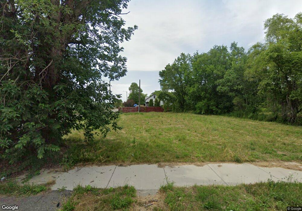
13463 Mcdougall St HamtraMcK, MI 48212
North Campau NeighborhoodEstimated Value: $52,000 - $109,000
--
Bed
1
Bath
788
Sq Ft
$102/Sq Ft
Est. Value
About This Home
This home is located at 13463 Mcdougall St, HamtraMcK, MI 48212 and is currently estimated at $80,500, approximately $102 per square foot. 13463 Mcdougall St is a home located in Wayne County with nearby schools including Davison Elementary-Middle School, Charles L. Spain Elementary-Middle School, and Edward 'Duke' Ellington Conservatory of Music and Art.
Ownership History
Date
Name
Owned For
Owner Type
Purchase Details
Closed on
Jul 16, 2014
Sold by
The City Of Detroit
Bought by
The Detroit Land Bank Authority
Current Estimated Value
Purchase Details
Closed on
Jan 6, 2011
Sold by
Wojtowicz Raymond J
Bought by
Planning & Development Dept City Of Detr
Purchase Details
Closed on
Dec 28, 2006
Sold by
Yancy Mary L and Yancy Jeanette Cl
Bought by
Ray Rosette Marie
Purchase Details
Closed on
Mar 9, 2006
Sold by
Yancy Jeanette C
Bought by
Yancy Mary L
Create a Home Valuation Report for This Property
The Home Valuation Report is an in-depth analysis detailing your home's value as well as a comparison with similar homes in the area
Home Values in the Area
Average Home Value in this Area
Purchase History
| Date | Buyer | Sale Price | Title Company |
|---|---|---|---|
| The Detroit Land Bank Authority | -- | None Available | |
| Planning & Development Dept City Of Detr | -- | None Available | |
| Ray Rosette Marie | -- | None Available | |
| Yancy Mary L | -- | None Available |
Source: Public Records
Tax History Compared to Growth
Tax History
| Year | Tax Paid | Tax Assessment Tax Assessment Total Assessment is a certain percentage of the fair market value that is determined by local assessors to be the total taxable value of land and additions on the property. | Land | Improvement |
|---|---|---|---|---|
| 2025 | -- | $0 | $0 | $0 |
| 2024 | -- | $0 | $0 | $0 |
| 2023 | $0 | $0 | $0 | $0 |
| 2022 | -- | $0 | $0 | $0 |
| 2021 | $0 | $0 | $0 | $0 |
| 2020 | $483 | $0 | $0 | $0 |
| 2019 | $483 | $0 | $0 | $0 |
| 2018 | $0 | $0 | $0 | $0 |
| 2017 | -- | $0 | $0 | $0 |
| 2016 | $240 | $0 | $0 | $0 |
| 2015 | -- | $0 | $0 | $0 |
| 2013 | $483 | $0 | $0 | $0 |
| 2010 | -- | $3,634 | $450 | $3,184 |
Source: Public Records
Map
Nearby Homes
- 13486 Gallagher St
- 13132 Gallagher St
- 13479 Mackay St
- 12661 Gallagher St
- 12660 Gallagher St
- 12621 Moran St
- 3346 Meade St
- 13953 Mackay St
- 12511 Gallagher St
- 3860 Gaylord St
- 13402 Dean St
- 3837 Nancy St
- 2087 Meade St
- 12239 Mcdougall St
- 2003 Dearing St
- 12309 Klinger St
- 2063 Meade St
- 13401 Justine St
- 2438 Burnside St
- 17144 Justine St
- 13462 Mitchell St
- 13472 Mitchell St
- 13487 Mcdougall St
- 13474 Mitchell St
- 13480 Mitchell St
- 13468 Mitchell St
- 13468 Mcdougall St
- 13474 Mcdougall St
- 13488 Mitchell St
- 13480 Mcdougall St
- 13494 Mitchell St
- 13486 Mcdougall St
- 13492 Mcdougall St
- 13500 Mitchell St
- 13500 Mcdougall St
- 13504 Mitchell St
- 13511 Mcdougall St
- 13504 Mcdougall St
- 13463 Mitchell St
- 13469 Mitchell St