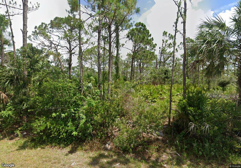
13466 Walmsley Ave Port Charlotte, FL 33953
Northwest Port Charlotte NeighborhoodEstimated Value: $15,480 - $245,000
--
Bed
--
Bath
--
Sq Ft
10,019
Sq Ft Lot
About This Home
This home is located at 13466 Walmsley Ave, Port Charlotte, FL 33953 and is currently estimated at $95,493. 13466 Walmsley Ave is a home located in Charlotte County with nearby schools including Liberty Elementary School, Murdock Middle School, and Port Charlotte High School.
Ownership History
Date
Name
Owned For
Owner Type
Purchase Details
Closed on
Feb 2, 2024
Sold by
A & A Proyecciones Llc
Bought by
Ocampo Paula Andrea Hoyos and Campos Noe Maldonado
Current Estimated Value
Purchase Details
Closed on
Mar 14, 2023
Sold by
Jms Design Construction Llc
Bought by
A & A Proyecciones Llc
Purchase Details
Closed on
Mar 22, 2022
Sold by
Prime Fl Land Phase 2 Corp
Bought by
J M S Design Construction Llc
Purchase Details
Closed on
Feb 28, 2022
Sold by
Jack Sojka
Bought by
Prime Florida Land Phase 2 Corp
Create a Home Valuation Report for This Property
The Home Valuation Report is an in-depth analysis detailing your home's value as well as a comparison with similar homes in the area
Home Values in the Area
Average Home Value in this Area
Purchase History
| Date | Buyer | Sale Price | Title Company |
|---|---|---|---|
| Ocampo Paula Andrea Hoyos | $100 | None Listed On Document | |
| A & A Proyecciones Llc | $100 | None Listed On Document | |
| J M S Design Construction Llc | $16,900 | New Title Company Name | |
| Prime Florida Land Phase 2 Corp | $9,000 | New Title Company Name |
Source: Public Records
Tax History Compared to Growth
Tax History
| Year | Tax Paid | Tax Assessment Tax Assessment Total Assessment is a certain percentage of the fair market value that is determined by local assessors to be the total taxable value of land and additions on the property. | Land | Improvement |
|---|---|---|---|---|
| 2024 | $521 | $11,475 | $11,475 | -- |
| 2023 | $521 | $11,475 | $11,475 | $0 |
| 2022 | $420 | $9,350 | $9,350 | $0 |
| 2021 | $378 | $3,145 | $3,145 | $0 |
| 2020 | $377 | $3,570 | $3,570 | $0 |
| 2019 | $375 | $3,570 | $3,570 | $0 |
| 2018 | $365 | $3,315 | $3,315 | $0 |
| 2017 | $361 | $3,196 | $3,196 | $0 |
| 2016 | $357 | $3,060 | $0 | $0 |
| 2015 | $353 | $2,788 | $0 | $0 |
| 2014 | $252 | $2,768 | $0 | $0 |
Source: Public Records
Map
Nearby Homes
- 2125 Wood St
- 13489 Walmsley Ave
- 13460 Tolman Ave
- 13468 Tolman Ave
- 13298 Scrub Jay Ct
- 13475 Sheppard Ave
- 2253 Beurket St
- 2211 Hale St
- 13282 Scrub Jay Ct
- 2296 Hale St
- 13436 Wade Dr
- 13396 Sheppard Ave
- 2074 Sandia St
- 2168 Belvoir St
- 2089 Sandia St
- 2269 Beurket St
- 2336 Hale St
- 2668 Myakka Marsh Ln
- 2144 Chaffee St
- 2120 Chaffee St
- 13498 Walmsley Ave
- 13465 & 13457 Walmsley Ave
- 2173 Wood St
- 13481 Walmsley Ave
- 2133 Wood St
- 13457 Walmsley Ave
- 13465 Walmsley Ave
- 2149 Wood St
- 13448 Bender Ave Unit 16
- 13448 Bender Ave
- 13465 & 13473 Bender Ave
- 13466 Bender Ave
- 13458 Bender Ave
- 13465 Bender Ave
- 13473 Bender Ave
- 13444 Tolman Ave
- 13433 Tolman Ave
- 13407 , 13415 Tolman Ave
- 13383 and 13391 Tolman Ave
- 13423 Tolman Ave