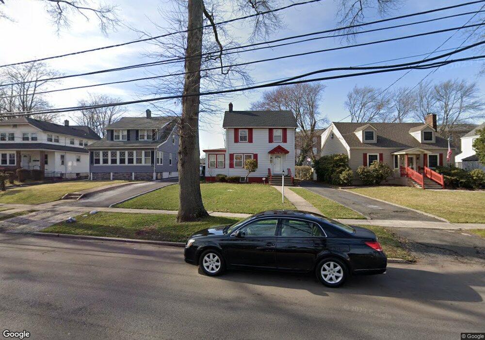
1347 E 7th St Unit 49 Plainfield, NJ 07062
Estimated Value: $420,605 - $522,000
Studio
--
Bath
1,280
Sq Ft
$372/Sq Ft
Est. Value
About This Home
This home is located at 1347 E 7th St Unit 49, Plainfield, NJ 07062 and is currently estimated at $476,151, approximately $371 per square foot. 1347 E 7th St Unit 49 is a home located in Union County with nearby schools including Frederic W. Cook School, Emerson Community School, and Maxson Middle School.
Ownership History
Date
Name
Owned For
Owner Type
Purchase Details
Closed on
Dec 13, 2002
Sold by
Ewsome Larry N
Bought by
Newsome Brandon
Current Estimated Value
Home Financials for this Owner
Home Financials are based on the most recent Mortgage that was taken out on this home.
Original Mortgage
$147,682
Outstanding Balance
$63,117
Interest Rate
6.17%
Mortgage Type
FHA
Estimated Equity
$413,034
Create a Home Valuation Report for This Property
The Home Valuation Report is an in-depth analysis detailing your home's value as well as a comparison with similar homes in the area
Home Values in the Area
Average Home Value in this Area
Purchase History
| Date | Buyer | Sale Price | Title Company |
|---|---|---|---|
| Newsome Brandon | $150,000 | -- |
Source: Public Records
Mortgage History
| Date | Status | Borrower | Loan Amount |
|---|---|---|---|
| Open | Newsome Brandon | $147,682 |
Source: Public Records
Tax History
| Year | Tax Paid | Tax Assessment Tax Assessment Total Assessment is a certain percentage of the fair market value that is determined by local assessors to be the total taxable value of land and additions on the property. | Land | Improvement |
|---|---|---|---|---|
| 2025 | $8,496 | $97,300 | $39,600 | $57,700 |
| 2024 | $8,413 | $97,300 | $39,600 | $57,700 |
| 2023 | $8,413 | $97,300 | $39,600 | $57,700 |
| 2022 | $8,231 | $97,300 | $39,600 | $57,700 |
| 2021 | $8,159 | $97,300 | $39,600 | $57,700 |
| 2020 | $8,135 | $97,300 | $39,600 | $57,700 |
| 2019 | $8,135 | $97,300 | $39,600 | $57,700 |
| 2018 | $7,965 | $97,300 | $39,600 | $57,700 |
| 2017 | $7,770 | $97,300 | $39,600 | $57,700 |
| 2016 | $7,612 | $97,300 | $39,600 | $57,700 |
| 2015 | $7,387 | $97,300 | $39,600 | $57,700 |
| 2014 | $7,187 | $97,300 | $39,600 | $57,700 |
Source: Public Records
Map
Nearby Homes
- 1464 Jean Terrace Unit 68
- 837 Coolidge St Unit 39
- 1365 Columbia Ave Unit 69
- 15 La Grande Ave
- 481 Terrill Rd
- 1364 George St
- 848 Adam Cir
- 810 Leland Ave Unit 14
- 519 Terrill Rd
- 904 Sterling St
- 1415 George St Unit 23
- 25 Paterson Rd
- 807 Berkeley Ave Unit 9
- 263 Colonial Place Unit 65
- 835 Dixie Ln Unit 37
- 1107-11 North Ave
- 1107 North Ave Unit 11
- 930 Cushing Place Unit 32
- 603 Terrill Rd
- 45 Kempshall Terrace
- 1351 E 7th St Unit 53
- 1343 E 7th St Unit 45
- 1355 E 7th St Unit 57
- 1339 E 7th St Unit 41
- 1335 E 7th St Unit 37
- 1359 E 7th St Unit 61
- 600 Sterling St Unit 4
- 1331 E 7th St Unit 33
- 1363 E 7th St Unit 65
- 1346 E 7th St Unit 48
- 1342 E 7th St Unit 44
- 606 Sterling St Unit 8
- 1327 E 7th St Unit 29
- 606-08 Sterling St
- 1338 E 7th St Unit 40
- 1367 E 7th St Unit 69
- 1334 E 7th St Unit 36
- 1360 E 7th St Unit 66
- 610 Sterling St Unit 14
- 1371 E 7th St Unit 73
Your Personal Tour Guide
Ask me questions while you tour the home.