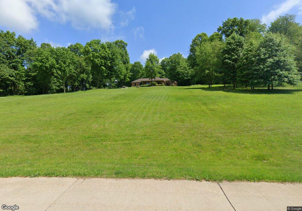
1347 Maple Grove Cir New Franklin, OH 44216
Estimated Value: $386,000 - $625,227
3
Beds
3
Baths
2,755
Sq Ft
$185/Sq Ft
Est. Value
About This Home
This home is located at 1347 Maple Grove Cir, New Franklin, OH 44216 and is currently estimated at $509,307, approximately $184 per square foot. 1347 Maple Grove Cir is a home located in Summit County.
Ownership History
Date
Name
Owned For
Owner Type
Purchase Details
Closed on
Nov 26, 2002
Sold by
James James E E and James Glenda M
Bought by
Nist David and Nist Melinda M
Current Estimated Value
Home Financials for this Owner
Home Financials are based on the most recent Mortgage that was taken out on this home.
Original Mortgage
$68,000
Interest Rate
6.22%
Purchase Details
Closed on
Feb 14, 2001
Sold by
Coler Patricia
Bought by
James James E and James Glenda M
Home Financials for this Owner
Home Financials are based on the most recent Mortgage that was taken out on this home.
Original Mortgage
$60,750
Interest Rate
7.18%
Create a Home Valuation Report for This Property
The Home Valuation Report is an in-depth analysis detailing your home's value as well as a comparison with similar homes in the area
Home Values in the Area
Average Home Value in this Area
Purchase History
| Date | Buyer | Sale Price | Title Company |
|---|---|---|---|
| Nist David | $85,000 | Multiple | |
| James James E | $71,500 | Wigley Title Agency Inc |
Source: Public Records
Mortgage History
| Date | Status | Borrower | Loan Amount |
|---|---|---|---|
| Closed | Nist David | $68,000 | |
| Closed | James James E | $60,750 |
Source: Public Records
Tax History Compared to Growth
Tax History
| Year | Tax Paid | Tax Assessment Tax Assessment Total Assessment is a certain percentage of the fair market value that is determined by local assessors to be the total taxable value of land and additions on the property. | Land | Improvement |
|---|---|---|---|---|
| 2025 | $8,907 | $178,088 | $35,725 | $142,363 |
| 2024 | $8,907 | $178,088 | $35,725 | $142,363 |
| 2023 | $8,907 | $178,088 | $35,725 | $142,363 |
| 2022 | $8,793 | $137,088 | $26,460 | $110,628 |
| 2021 | $8,825 | $137,088 | $26,460 | $110,628 |
| 2020 | $8,672 | $137,090 | $26,460 | $110,630 |
| 2019 | $9,140 | $129,500 | $24,060 | $105,440 |
| 2018 | $7,886 | $129,500 | $24,060 | $105,440 |
| 2017 | $8,499 | $129,500 | $24,060 | $105,440 |
| 2016 | $8,399 | $126,460 | $24,060 | $102,400 |
| 2015 | $8,499 | $126,460 | $24,060 | $102,400 |
| 2014 | $8,434 | $126,460 | $24,060 | $102,400 |
| 2013 | $8,374 | $126,480 | $24,060 | $102,420 |
Source: Public Records
Map
Nearby Homes
- 1062 Stump Rd
- 6090 Manchester Rd Unit 6096
- 6387 Hampsher Rd
- 781 Leeman Dr
- 715 Highland Park Dr
- 4851 Manchester Rd
- 5983 Weaver Rd
- 4698 Manchester Rd
- 451 Yager Rd
- 6407 Southview Dr
- 2536 Emmons Dr
- 2200 W Comet Rd
- 7060 Manchester Rd
- 0 W Comet Rd Unit 5079117
- S/L 14,15 Shakes Hotel Dr
- 4567 Rex Lake Dr
- 7452 S Cleveland Massillon Rd
- 8714 Greenmeadow Ave NW
- 8177 S Cleveland Massillon Rd Unit 16
- 8177 S Cleveland Massillon Rd Unit 42
- 1321 Maple Grove Cir
- 1420 Center Rd
- 1361 Maple Grove Cir
- 1283 Maple Grove Cir
- 1334 Maple Grove Cir
- 1360 Maple Grove Cir
- 1300 Maple Grove Cir
- 5974 Spangler Dr
- 1264 Maple Grove Cir
- 6020 Spangler Dr
- 1436 Center Rd
- 1232 Maple Grove Cir
- 1342 Center Rd
- 6001 Spangler Dr
- 1364 1366 Center Rd
- 1336 Center Rd
- 6072 Spangler Dr
- 5971 Spangler Dr
- 1424 Center Rd
- 1474 Center Rd