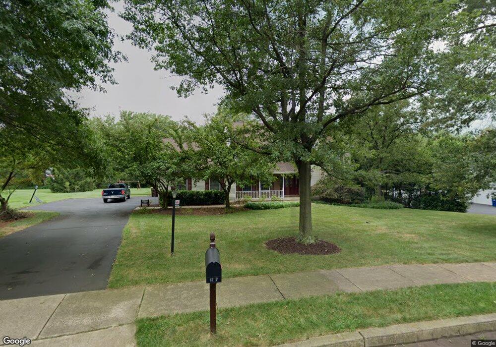
1347 Michael Way Lansdale, PA 19446
Estimated Value: $809,000 - $959,000
4
Beds
3
Baths
2,812
Sq Ft
$303/Sq Ft
Est. Value
About This Home
This home is located at 1347 Michael Way, Lansdale, PA 19446 and is currently estimated at $853,181, approximately $303 per square foot. 1347 Michael Way is a home located in Montgomery County with nearby schools including Walton Farm El School, Pennfield Middle School, and North Penn Senior High School.
Ownership History
Date
Name
Owned For
Owner Type
Purchase Details
Closed on
Aug 19, 2005
Sold by
Hewitt Reloc Ser Inc and Mccoy Scott
Bought by
Flynn Jessica A and Flynn Christopher P
Current Estimated Value
Home Financials for this Owner
Home Financials are based on the most recent Mortgage that was taken out on this home.
Original Mortgage
$63,260
Interest Rate
5.84%
Mortgage Type
Credit Line Revolving
Purchase Details
Closed on
Aug 12, 2005
Sold by
Bloom Daniel J and Gifford Carol J
Bought by
Hewitt Reloc Ser Inc
Home Financials for this Owner
Home Financials are based on the most recent Mortgage that was taken out on this home.
Original Mortgage
$63,260
Interest Rate
5.84%
Mortgage Type
Credit Line Revolving
Purchase Details
Closed on
Jun 3, 1998
Sold by
Budzilowicz Thomas P and Budzilowicz Maureen E
Bought by
Bloom Daniel J and Gifford Carol J
Create a Home Valuation Report for This Property
The Home Valuation Report is an in-depth analysis detailing your home's value as well as a comparison with similar homes in the area
Home Values in the Area
Average Home Value in this Area
Purchase History
| Date | Buyer | Sale Price | Title Company |
|---|---|---|---|
| Flynn Jessica A | $469,900 | -- | |
| Hewitt Reloc Ser Inc | $469,900 | -- | |
| Bloom Daniel J | $291,000 | -- |
Source: Public Records
Mortgage History
| Date | Status | Borrower | Loan Amount |
|---|---|---|---|
| Closed | Flynn Jessica A | $63,260 |
Source: Public Records
Tax History Compared to Growth
Tax History
| Year | Tax Paid | Tax Assessment Tax Assessment Total Assessment is a certain percentage of the fair market value that is determined by local assessors to be the total taxable value of land and additions on the property. | Land | Improvement |
|---|---|---|---|---|
| 2025 | $11,574 | $285,770 | $106,600 | $179,170 |
| 2024 | $11,574 | $285,770 | $106,600 | $179,170 |
| 2023 | $11,084 | $285,770 | $106,600 | $179,170 |
| 2022 | $10,404 | $285,770 | $106,600 | $179,170 |
| 2021 | $10,103 | $285,770 | $106,600 | $179,170 |
| 2020 | $9,646 | $285,770 | $106,600 | $179,170 |
| 2019 | $9,478 | $285,770 | $106,600 | $179,170 |
| 2018 | $2,016 | $285,770 | $106,600 | $179,170 |
| 2017 | $9,101 | $285,770 | $106,600 | $179,170 |
| 2016 | $8,988 | $285,770 | $106,600 | $179,170 |
| 2015 | $8,614 | $285,770 | $106,600 | $179,170 |
| 2014 | $8,614 | $285,770 | $106,600 | $179,170 |
Source: Public Records
Map
Nearby Homes
- 1217A Crosshill Ct
- 912B Stockton Ct
- 1017 Winfield Ct
- 506 Clarella Ct
- 2110 Marshall Ct
- 2212 Mulberry Ct
- 2225 Mulberry Ct
- 2415 Hillock Ct
- 1116 Dogwood Ct
- 1653 Bridle Path Dr
- 25 Chestnut Ct E
- 803 Poplar Ct
- 1825 Flintlock Cir
- 30 Greenbriar Ct
- 19 Wildbriar Ct
- 210 Berwick Place Unit 20E
- 984 Independence Ln Unit 13
- 24 Newbury Way
- 10 Bentwood Ct W
- 2 Newbury Way
- 1349 Michael Way
- 1345 Michael Way
- 1351 Michael Way
- 1336 Michael Way
- 1343 Michael Way
- 1338 Michael Way
- 1340 Michael Way
- 1341 Michael Way
- 1407 Cheswold Dr Unit 5
- 1407 Cheswold Dr
- 1411 Cheswold Dr Unit 6
- 1353 Michael Way
- 112 Madison Way
- 114 Madison Way
- 1342 Michael Way
- 1301 Tyler Way
- 110 Madison Way
- 1303 Tyler Way
- 1339 Michael Way