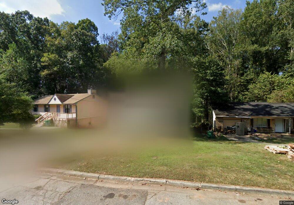
1347 Muirforest Way Unit 4B Stone Mountain, GA 30088
Estimated Value: $227,035 - $244,000
3
Beds
3
Baths
1,408
Sq Ft
$167/Sq Ft
Est. Value
About This Home
This home is located at 1347 Muirforest Way Unit 4B, Stone Mountain, GA 30088 and is currently estimated at $234,509, approximately $166 per square foot. 1347 Muirforest Way Unit 4B is a home located in DeKalb County with nearby schools including Shadow Rock Elementary School, Redan Middle School, and Redan High School.
Ownership History
Date
Name
Owned For
Owner Type
Purchase Details
Closed on
Mar 3, 2000
Sold by
Adams Roy A and Adams Bernice L
Bought by
Payne Brenda
Current Estimated Value
Home Financials for this Owner
Home Financials are based on the most recent Mortgage that was taken out on this home.
Original Mortgage
$86,815
Outstanding Balance
$28,992
Interest Rate
8.3%
Mortgage Type
New Conventional
Estimated Equity
$205,517
Create a Home Valuation Report for This Property
The Home Valuation Report is an in-depth analysis detailing your home's value as well as a comparison with similar homes in the area
Home Values in the Area
Average Home Value in this Area
Purchase History
| Date | Buyer | Sale Price | Title Company |
|---|---|---|---|
| Payne Brenda | $89,500 | -- |
Source: Public Records
Mortgage History
| Date | Status | Borrower | Loan Amount |
|---|---|---|---|
| Open | Payne Brenda | $86,815 |
Source: Public Records
Tax History Compared to Growth
Tax History
| Year | Tax Paid | Tax Assessment Tax Assessment Total Assessment is a certain percentage of the fair market value that is determined by local assessors to be the total taxable value of land and additions on the property. | Land | Improvement |
|---|---|---|---|---|
| 2025 | $2,836 | $86,840 | $20,000 | $66,840 |
| 2024 | $3,033 | $89,040 | $20,000 | $69,040 |
| 2023 | $3,033 | $84,960 | $20,000 | $64,960 |
| 2022 | $2,012 | $60,880 | $6,000 | $54,880 |
| 2021 | $1,698 | $51,760 | $6,000 | $45,760 |
| 2020 | $1,232 | $38,080 | $6,000 | $32,080 |
| 2019 | $1,178 | $36,840 | $6,000 | $30,840 |
| 2018 | $958 | $35,520 | $6,000 | $29,520 |
| 2017 | $1,123 | $34,280 | $6,000 | $28,280 |
| 2016 | $822 | $26,320 | $4,000 | $22,320 |
| 2014 | $701 | $22,640 | $4,000 | $18,640 |
Source: Public Records
Map
Nearby Homes
- 5295 Old Trail Cir
- 1480 Muirfield Dr
- 1175 Muirfield Dr
- 5219 Sweet Air Ln
- 5216 Sweet Air Ln
- 5406 Megan Rd
- 1459 Hidden Hills Pkwy
- 5091 Golfbrook Dr
- 5266 Long Green Ln Unit 2
- 5359 Bridgewater Trace
- 5323 Tracey Dr
- 5090 Plantation View Trail
- 5330 Tracey Dr
- 1144 Redan Trace
- 5141 Rocky Run
- 1481 Corn Crib Ct
- 2066 Crossing Rd
- 2072 Crossing Rd
- 2070 Crossing Rd
- 1312 Mill Lake Cir Unit 2A
- 1351 Muirforest Way
- 1343 Muirforest Way
- 1337 Muirforest Way
- 1349 Muirforest Dr
- 1361 Muirforest Way
- 1352 Muirforest Dr
- 1333 Muirforest Way
- 1352 Muirforest Way
- 1336 Muirforest Way
- 1346 Muirforest Dr
- 1356 Muirforest Way Unit 4B
- 1327 Muirforest Way
- 1328 Hidden Hills Pkwy
- 1322 Muirforest Way
- 1320 Hidden Hills Pkwy
- 1336 Hidden Hills Pkwy
- 1340 Muirforest Dr Unit 4B
- 1329 Muirforest Dr
- 1321 Muirforest Way Unit 58
- 1321 Muirforest Way