1347 Nevada Ridge Dr SW Unit 47 Byron Center, MI 49315
Estimated Value: $248,978 - $297,000
2
Beds
2
Baths
1,131
Sq Ft
$244/Sq Ft
Est. Value
About This Home
This home is located at 1347 Nevada Ridge Dr SW Unit 47, Byron Center, MI 49315 and is currently estimated at $276,245, approximately $244 per square foot. 1347 Nevada Ridge Dr SW Unit 47 is a home located in Kent County with nearby schools including Marshall Elementary School, Robert L. Nickels Intermediate School, and Byron Center West Middle School.
Ownership History
Date
Name
Owned For
Owner Type
Purchase Details
Closed on
Oct 26, 2007
Sold by
Lowe Sarah
Bought by
Neuman Frances T
Current Estimated Value
Purchase Details
Closed on
Jul 29, 2005
Sold by
Treviso Stacy Sue
Bought by
Lowe Sara
Home Financials for this Owner
Home Financials are based on the most recent Mortgage that was taken out on this home.
Original Mortgage
$115,400
Interest Rate
5.69%
Mortgage Type
Fannie Mae Freddie Mac
Purchase Details
Closed on
Dec 30, 2002
Sold by
Sierrafield Llc
Bought by
Treviso Stacy Sue
Home Financials for this Owner
Home Financials are based on the most recent Mortgage that was taken out on this home.
Original Mortgage
$85,600
Interest Rate
6.3%
Create a Home Valuation Report for This Property
The Home Valuation Report is an in-depth analysis detailing your home's value as well as a comparison with similar homes in the area
Home Values in the Area
Average Home Value in this Area
Purchase History
| Date | Buyer | Sale Price | Title Company |
|---|---|---|---|
| Neuman Frances T | $123,700 | None Available | |
| Lowe Sara | $119,000 | Chicago Title | |
| Treviso Stacy Sue | $107,089 | -- |
Source: Public Records
Mortgage History
| Date | Status | Borrower | Loan Amount |
|---|---|---|---|
| Previous Owner | Lowe Sara | $115,400 | |
| Previous Owner | Treviso Stacy Sue | $85,600 |
Source: Public Records
Tax History Compared to Growth
Tax History
| Year | Tax Paid | Tax Assessment Tax Assessment Total Assessment is a certain percentage of the fair market value that is determined by local assessors to be the total taxable value of land and additions on the property. | Land | Improvement |
|---|---|---|---|---|
| 2025 | $1,298 | $102,600 | $0 | $0 |
| 2024 | $1,298 | $92,900 | $0 | $0 |
| 2023 | $1,242 | $84,200 | $0 | $0 |
| 2022 | $1,706 | $78,900 | $0 | $0 |
| 2021 | $1,660 | $73,300 | $0 | $0 |
| 2020 | $1,143 | $69,200 | $0 | $0 |
| 2019 | $1,587 | $64,500 | $0 | $0 |
| 2018 | $1,587 | $62,300 | $5,000 | $57,300 |
| 2017 | $1,544 | $57,000 | $0 | $0 |
| 2016 | $1,488 | $53,700 | $0 | $0 |
| 2015 | $1,463 | $53,700 | $0 | $0 |
| 2013 | -- | $47,700 | $0 | $0 |
Source: Public Records
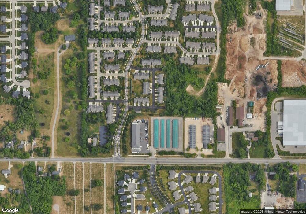
Map
Nearby Homes
- 7485 Crooked Creek Dr SW
- 7440 Navajo Valley Dr SW
- 7615 Sofia Dr SW Unit 60
- 7356 Cactus Cove SW
- 1228 Mesa Jct
- 1223 Madera Ct
- 1215 Madera Ct
- 1213 Madera Ct
- 1211 Madera Ct
- 1209 Madera Ct
- 1220 Kingman Ct SW
- 1757 Julienne Ct SW
- 1557 Marksbury Ct
- 7732 Burlingame Ave SW
- 7947 Verona Dr SW
- 1645 Springwind Dr SW
- 7074 Nantucket Dr SW
- 1752 Springwind Dr SW
- 1058 Amberwood West Dr SW
- 924 Amberwood West Dr SW
- 1349 Nevada Ridge Dr SW
- 1341 Nevada Ridge Dr SW Unit 45
- 1341 Nevada Ridge Dr SW Unit 15
- 1337 Nevada Ridge Dr SW Unit 44
- 1333 Nevada Ridge Dr SW Unit 43
- 7539 Crooked Creek Dr SW Unit 52
- 7535 Crooked Creek Dr SW Unit 51
- 7533 Crooked Creek Dr SW Unit 50
- 7544 Crooked Creek Dr SW Unit 85
- 7544 Crooked Creek Dr SW Unit 18
- 7548 Crooked Creek Dr SW
- 7540 Crooked Creek Dr SW Unit 80
- 7536 Crooked Creek Dr SW
- 7529 Crooked Creek Dr SW Unit 49
- 7532 Crooked Creek Dr SW Unit 82
- 7574 Navajo Valley Dr SW
- 7574 Navajo Valley Dr SW Unit 11
- 7489 Crooked Creek Dr SW Unit 73
- 7481 Crooked Creek Dr SW Unit 71
- 7485 Crooked Creek Dr SW Unit 72