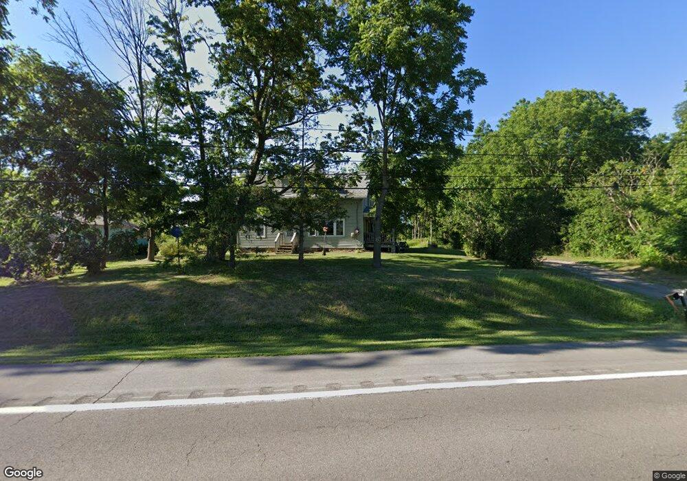
1347 State Route 31 Port Byron, NY 13140
Estimated Value: $193,385 - $341,000
3
Beds
2
Baths
1,616
Sq Ft
$146/Sq Ft
Est. Value
About This Home
This home is located at 1347 State Route 31, Port Byron, NY 13140 and is currently estimated at $235,846, approximately $145 per square foot. 1347 State Route 31 is a home located in Cayuga County with nearby schools including A.A. Gates Elementary School and Port Byron Senior High School.
Ownership History
Date
Name
Owned For
Owner Type
Purchase Details
Closed on
Apr 28, 2025
Sold by
Stoneburg Nancy L
Bought by
Maloney Joshua and Maloney Meghan
Current Estimated Value
Purchase Details
Closed on
Jan 13, 2025
Sold by
Hahn Lewellyn P
Bought by
Stoneburg Nancy L
Purchase Details
Closed on
Mar 30, 1994
Sold by
Mills Earl and Mills Gloria
Bought by
Hahn Lewellyn and Hahn Corinne
Create a Home Valuation Report for This Property
The Home Valuation Report is an in-depth analysis detailing your home's value as well as a comparison with similar homes in the area
Home Values in the Area
Average Home Value in this Area
Purchase History
| Date | Buyer | Sale Price | Title Company |
|---|---|---|---|
| Maloney Joshua | -- | None Listed On Document | |
| Stoneburg Nancy L | -- | None Listed On Document | |
| Stoneburg Nancy L | -- | None Listed On Document | |
| Hahn Lewellyn | $2,500 | -- |
Source: Public Records
Tax History Compared to Growth
Tax History
| Year | Tax Paid | Tax Assessment Tax Assessment Total Assessment is a certain percentage of the fair market value that is determined by local assessors to be the total taxable value of land and additions on the property. | Land | Improvement |
|---|---|---|---|---|
| 2024 | $2,201 | $99,300 | $15,900 | $83,400 |
| 2023 | $3,453 | $99,300 | $15,900 | $83,400 |
| 2022 | $3,557 | $99,300 | $15,900 | $83,400 |
| 2021 | $3,646 | $99,300 | $15,900 | $83,400 |
| 2020 | $2,313 | $99,300 | $15,900 | $83,400 |
| 2019 | $1,577 | $99,300 | $15,900 | $83,400 |
| 2018 | $2,301 | $99,300 | $15,900 | $83,400 |
| 2017 | $2,289 | $99,300 | $15,900 | $83,400 |
| 2016 | $2,237 | $99,300 | $15,900 | $83,400 |
| 2015 | -- | $87,000 | $15,900 | $71,100 |
| 2014 | -- | $87,000 | $15,900 | $71,100 |
Source: Public Records
Map
Nearby Homes
- 1 Curtis St
- 5 Canal St
- 11 Canal St
- 134 Main St
- 179 Main St
- 1756 New York Central Rd
- 7959 State Street Rd
- 8089 State Route 90
- 8129 High St
- 7410 Rice Rd
- 7639 State Street Rd
- 1274 Haiti Rd
- 7514 State Street Rd
- 7355 Powers Rd
- 7422 Robinson Rd
- 2659 Tanner Rd
- 7413 State Street Rd
- 9762 State Route 38
- 2653 Washington St
- 2223 Turnpike Rd
- 1391 State Route 31
- 8471 Trumble Rd
- 8315 Lasher Rd
- 8485 Trumble Rd
- 8300 Lasher Rd
- 1407 State Route 31
- 8509 Trumble Rd
- 8275 Lasher Rd
- 8527 Trumble Rd
- 1468 State Route 31
- 1473 State Route 31
- 1187 State Route 31
- 8573 Thompson Rd
- 8578 Thompson Rd
- 1263 Tow Path Rd
- 1161 State Route 31
- 8475 Baptist Hill Rd
- 1372 Heel Path Rd
- 1504 State Route 31
- 8409 Baptist Hill Rd