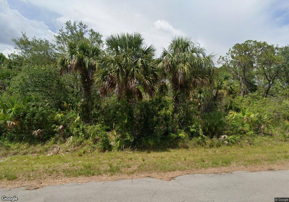
13472 Honeywood Ave Port Charlotte, FL 33953
Northwest Port Charlotte NeighborhoodEstimated Value: $18,000 - $249,000
--
Bed
--
Bath
--
Sq Ft
10,019
Sq Ft Lot
About This Home
This home is located at 13472 Honeywood Ave, Port Charlotte, FL 33953 and is currently estimated at $133,500. 13472 Honeywood Ave is a home located in Charlotte County with nearby schools including Liberty Elementary School, Murdock Middle School, and Port Charlotte High School.
Ownership History
Date
Name
Owned For
Owner Type
Purchase Details
Closed on
Jun 11, 2020
Sold by
Stanger Land Holdings Llc
Bought by
Marrero Fernando and Marrero Maria C
Current Estimated Value
Purchase Details
Closed on
Jun 15, 2011
Sold by
1224 Corp
Bought by
Stanger Land Holdings Llc
Purchase Details
Closed on
Apr 19, 2011
Sold by
1224 Corp
Bought by
Stanger Land Holdings Llc
Purchase Details
Closed on
Jan 20, 2005
Sold by
Aghassi Barbara
Bought by
1224 Corp
Create a Home Valuation Report for This Property
The Home Valuation Report is an in-depth analysis detailing your home's value as well as a comparison with similar homes in the area
Home Values in the Area
Average Home Value in this Area
Purchase History
| Date | Buyer | Sale Price | Title Company |
|---|---|---|---|
| Marrero Fernando | $3,300 | Florida Abstract & Security | |
| Stanger Land Holdings Llc | -- | None Available | |
| Stanger Land Holdings Llc | $1,200 | None Available | |
| 1224 Corp | $2,200 | -- | |
| 1224 Corp | $2,200 | -- | |
| 1224 Corp | $2,200 | -- |
Source: Public Records
Tax History Compared to Growth
Tax History
| Year | Tax Paid | Tax Assessment Tax Assessment Total Assessment is a certain percentage of the fair market value that is determined by local assessors to be the total taxable value of land and additions on the property. | Land | Improvement |
|---|---|---|---|---|
| 2023 | $449 | $3,806 | $0 | $0 |
| 2022 | $420 | $9,350 | $9,350 | $0 |
| 2021 | $378 | $3,145 | $3,145 | $0 |
| 2020 | $377 | $3,570 | $3,570 | $0 |
| 2019 | $375 | $3,570 | $3,570 | $0 |
| 2018 | $365 | $3,315 | $3,315 | $0 |
| 2017 | $361 | $3,196 | $3,196 | $0 |
| 2016 | $357 | $3,060 | $0 | $0 |
| 2015 | $353 | $2,788 | $0 | $0 |
| 2014 | $252 | $2,768 | $0 | $0 |
Source: Public Records
Map
Nearby Homes
- 2504 Lyric St
- 2432 Lyric St
- 13498 Fairbanks Ave
- 13506 Fairbanks Ave
- 13472 Augton Ave
- 2483 Mc Pherson Dr
- 2512 McPhearson Dr
- 2459 McPhearson Dr
- 2467 McPhearson Dr
- 2451 McPhearson Dr
- 2435 McPhearson Dr
- 2497 Hoover St
- 2505 Hoover St
- 2427 McPhearson Dr
- 2344 Vankeuren Dr
- 2352 Vankeuren Dr
- 2419 McPhearson Dr
- 2411 McPhearson Dr
- 2403 McPhearson Dr
- 2367 McPhearson Dr
- 13464 Honeywood Ave
- 13469 Fairbanks Ave
- 13488 Honeywood Ave
- 13485 Fairbanks Ave
- 13461 Fairbanks Ave
- 13479 Honeywood Ave
- 13487 Honeywood Ave
- 13496 Honeywood Ave
- 13448 Honeywood Ave
- 13495 Honeywood Ave
- 13478 Grealy Ave
- 2481, 2496 Lyric St
- 2481 Lyric St
- 2457 Lyric St
- 13458 Fairbanks Ave
- 13486 Grealy Ave
- 13503 Honeywood Ave
- 13494 Grealy Ave
- 13475 Dunlap Ave
- 13502 Crowley Ave