13476 Deer Ridge Rd Wisconsin Rapids, WI 54494
Estimated Value: $160,970 - $302,000
--
Bed
--
Bath
--
Sq Ft
3.88
Acres
About This Home
This home is located at 13476 Deer Ridge Rd, Wisconsin Rapids, WI 54494 and is currently estimated at $216,743. 13476 Deer Ridge Rd is a home located in Wood County with nearby schools including Woodside Elementary School, Wisconsin Rapids Area Middle School, and East Junior High School.
Ownership History
Date
Name
Owned For
Owner Type
Purchase Details
Closed on
Jan 5, 2006
Sold by
Citifinancial Inc
Bought by
Noth Joe K and Noth Molly L
Current Estimated Value
Home Financials for this Owner
Home Financials are based on the most recent Mortgage that was taken out on this home.
Original Mortgage
$47,700
Outstanding Balance
$25,167
Interest Rate
5.25%
Mortgage Type
Adjustable Rate Mortgage/ARM
Estimated Equity
$191,576
Purchase Details
Closed on
Sep 12, 2005
Sold by
Estate Of Betty J Miller
Bought by
Citifinancial Inc
Create a Home Valuation Report for This Property
The Home Valuation Report is an in-depth analysis detailing your home's value as well as a comparison with similar homes in the area
Home Values in the Area
Average Home Value in this Area
Purchase History
| Date | Buyer | Sale Price | Title Company |
|---|---|---|---|
| Noth Joe K | $49,900 | None Available | |
| Noth Jon K | $49,900 | -- | |
| Citifinancial Inc | $41,500 | None Available | |
| Citifinancial Inc | $41,500 | -- |
Source: Public Records
Mortgage History
| Date | Status | Borrower | Loan Amount |
|---|---|---|---|
| Open | Noth Jon K | $47,700 | |
| Closed | Noth Joe K | $47,700 |
Source: Public Records
Tax History Compared to Growth
Tax History
| Year | Tax Paid | Tax Assessment Tax Assessment Total Assessment is a certain percentage of the fair market value that is determined by local assessors to be the total taxable value of land and additions on the property. | Land | Improvement |
|---|---|---|---|---|
| 2024 | $1,172 | $87,900 | $19,100 | $68,800 |
| 2023 | $1,098 | $87,900 | $19,100 | $68,800 |
| 2022 | $1,113 | $87,900 | $19,100 | $68,800 |
| 2021 | $1,207 | $87,900 | $19,100 | $68,800 |
| 2020 | $1,343 | $72,600 | $19,100 | $53,500 |
| 2019 | $1,277 | $72,600 | $19,100 | $53,500 |
| 2018 | $1,261 | $72,600 | $19,100 | $53,500 |
| 2017 | $1,245 | $72,600 | $19,100 | $53,500 |
| 2016 | $1,296 | $72,600 | $19,100 | $53,500 |
| 2015 | $1,253 | $72,600 | $19,100 | $53,500 |
Source: Public Records
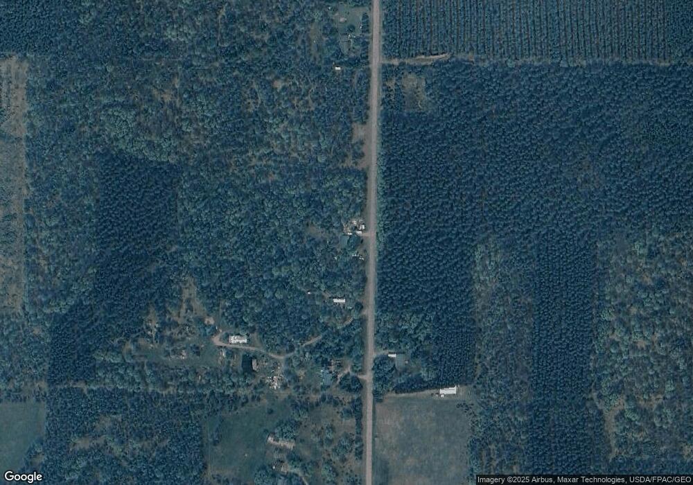
Map
Nearby Homes
- 4930 Wilderness Ln
- 57.71 AC County Line Rd
- 40 AC Akron Dr Acres
- 9820 State Highway 13 S
- 227 9th Ave
- 930 East Ct
- 7199 Mill Ave
- 229 Derby Ct
- 10140 S Young St
- 845 Kings Way
- 857 Kings Way
- 3630 Ranger Rd
- 273 Penhurst Way
- 765 Ten Mile Ave
- 1066 Church Ave
- 328 & 326 York Ct
- 10520 Rangeline Rd
- 841 & 847 Sterling Rd
- 932 Sussex Ct
- 928 Essex Ct
- 13538 Deer Ridge Rd
- 13575 Deer Ridge Rd
- 13590 Deer Ridge Rd
- 13318 Deer Ridge Rd
- 13706 Deer Ridge Rd
- 13712 Deer Ridge Rd
- 13180 Deer Ridge Rd
- 13144 Deer Ridge Rd
- 13978 Deer Ridge Rd
- 13080 Deer Ridge Rd
- 14084 Deer Ridge Rd
- 13016 Deer Ridge Rd
- 13016 Deer Ridge Rd
- 13911 Bell Rd
- 13831 Bell Rd
- 13951 Bell Rd
- 13621 Bell Rd
- 4731 Wilderness Ln
- 0 Bell Rd Unit 1631586
- 0 Bell Rd Unit 844189