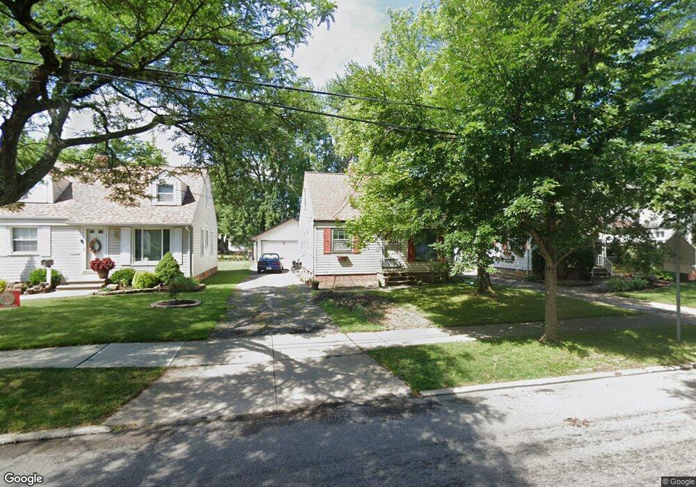
1348 Caryl Dr Bedford, OH 44146
Estimated Value: $103,000 - $153,000
3
Beds
1
Bath
1,092
Sq Ft
$118/Sq Ft
Est. Value
About This Home
This home is located at 1348 Caryl Dr, Bedford, OH 44146 and is currently estimated at $129,156, approximately $118 per square foot. 1348 Caryl Dr is a home located in Cuyahoga County with nearby schools including Heskett Middle School, Bedford High School, and Ohio College Preparatory School.
Ownership History
Date
Name
Owned For
Owner Type
Purchase Details
Closed on
Apr 29, 2022
Sold by
Bancy Limited Llc
Bought by
Menary Hunter M
Current Estimated Value
Purchase Details
Closed on
Jun 9, 2005
Sold by
Reid Robert R and Reid Nancy
Bought by
Bancy Ltd
Purchase Details
Closed on
Mar 16, 1979
Sold by
Ramsey James E
Bought by
Reid Robert R
Purchase Details
Closed on
Feb 13, 1978
Sold by
Mcmullen Edward J
Bought by
Ramsey James E
Purchase Details
Closed on
Jun 23, 1976
Sold by
Mcmullen Marie
Bought by
Mcmullen Edward J
Purchase Details
Closed on
Jan 1, 1975
Bought by
Mcmullen Marie
Create a Home Valuation Report for This Property
The Home Valuation Report is an in-depth analysis detailing your home's value as well as a comparison with similar homes in the area
Home Values in the Area
Average Home Value in this Area
Purchase History
| Date | Buyer | Sale Price | Title Company |
|---|---|---|---|
| Menary Hunter M | $45,000 | Enterprise Title | |
| Bancy Ltd | -- | -- | |
| Reid Robert R | $32,500 | -- | |
| Ramsey James E | $27,000 | -- | |
| Mcmullen Edward J | -- | -- | |
| Mcmullen Marie | -- | -- |
Source: Public Records
Tax History
| Year | Tax Paid | Tax Assessment Tax Assessment Total Assessment is a certain percentage of the fair market value that is determined by local assessors to be the total taxable value of land and additions on the property. | Land | Improvement |
|---|---|---|---|---|
| 2024 | $3,209 | $40,565 | $7,665 | $32,900 |
| 2023 | $2,747 | $29,650 | $6,550 | $23,100 |
| 2022 | $2,439 | $29,650 | $6,550 | $23,100 |
| 2021 | $2,365 | $29,650 | $6,550 | $23,100 |
| 2020 | $2,224 | $24,920 | $5,500 | $19,430 |
| 2019 | $2,169 | $71,200 | $15,700 | $55,500 |
| 2018 | $2,143 | $24,920 | $5,500 | $19,430 |
| 2017 | $2,151 | $23,490 | $5,040 | $18,450 |
| 2016 | $2,133 | $23,490 | $5,040 | $18,450 |
| 2015 | $2,122 | $23,490 | $5,040 | $18,450 |
| 2014 | $2,122 | $25,520 | $5,500 | $20,020 |
Source: Public Records
Map
Nearby Homes
- 1346 Caryl Dr
- 1352 Caryl Dr
- 1344 Caryl Dr
- 1356 Caryl Dr
- 1353 Broadway Ave
- 1349 Broadway Ave
- 1357 Broadway Ave
- 1336 Caryl Dr
- 1360 Caryl Dr
- 1345 Broadway Ave
- 1361 Broadway Ave
- 1347 Caryl Dr
- 1332 Caryl Dr
- 1341 Broadway Ave
- 1365 Broadway Ave
- 1343 Caryl Dr
- 1355 Caryl Dr
- 1359 Caryl Dr
- 1351 Caryl Dr
- 1339 Caryl Dr