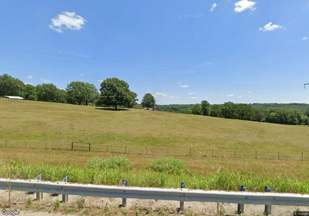
1348 Highway 5 Mansfield, MO 65704
Estimated Value: $340,000 - $462,509
--
Bed
--
Bath
2,448
Sq Ft
$171/Sq Ft
Est. Value
About This Home
This home is located at 1348 Highway 5, Mansfield, MO 65704 and is currently estimated at $418,836, approximately $171 per square foot. 1348 Highway 5 is a home located in Wright County with nearby schools including Wilder Elementary School, Mansfield Junior High School, and Mansfield High School.
Ownership History
Date
Name
Owned For
Owner Type
Purchase Details
Closed on
Jun 2, 2022
Sold by
Mansfield Towing Inc
Bought by
Hartley Samuel David
Current Estimated Value
Home Financials for this Owner
Home Financials are based on the most recent Mortgage that was taken out on this home.
Original Mortgage
$188,000
Outstanding Balance
$178,108
Interest Rate
5.11%
Mortgage Type
Credit Line Revolving
Estimated Equity
$240,728
Purchase Details
Closed on
Jan 10, 2022
Sold by
Irby Zachary T and Irby Shawn M
Bought by
Hartley Samuel and Hartley Alesha
Home Financials for this Owner
Home Financials are based on the most recent Mortgage that was taken out on this home.
Original Mortgage
$437,000
Interest Rate
3.11%
Mortgage Type
New Conventional
Purchase Details
Closed on
Nov 27, 2019
Sold by
Kingery Robert T and Kingery Karie Jean
Bought by
Irby Zachary T and Irby Shawn M
Home Financials for this Owner
Home Financials are based on the most recent Mortgage that was taken out on this home.
Original Mortgage
$280,708
Interest Rate
3.6%
Mortgage Type
VA
Purchase Details
Closed on
Feb 28, 2011
Sold by
Kingery Valerie
Bought by
Kingery Robert
Create a Home Valuation Report for This Property
The Home Valuation Report is an in-depth analysis detailing your home's value as well as a comparison with similar homes in the area
Home Values in the Area
Average Home Value in this Area
Purchase History
| Date | Buyer | Sale Price | Title Company |
|---|---|---|---|
| Hartley Samuel David | -- | Wright County Land Services | |
| Hartley Samuel | -- | Mct Title | |
| Irby Zachary T | -- | None Available | |
| Kingery Robert | -- | -- |
Source: Public Records
Mortgage History
| Date | Status | Borrower | Loan Amount |
|---|---|---|---|
| Open | Hartley Samuel David | $188,000 | |
| Previous Owner | Hartley Samuel | $437,000 | |
| Previous Owner | Irby Zachary T | $280,708 |
Source: Public Records
Tax History Compared to Growth
Tax History
| Year | Tax Paid | Tax Assessment Tax Assessment Total Assessment is a certain percentage of the fair market value that is determined by local assessors to be the total taxable value of land and additions on the property. | Land | Improvement |
|---|---|---|---|---|
| 2025 | $1,271 | $35,790 | $0 | $0 |
| 2024 | $12 | $31,660 | $0 | $0 |
| 2023 | $1,177 | $31,660 | $0 | $0 |
| 2022 | $1,071 | $28,490 | $0 | $0 |
| 2021 | $905 | $28,490 | $0 | $0 |
| 2020 | $1,198 | $27,160 | $0 | $0 |
| 2019 | $1,203 | $27,160 | $0 | $0 |
| 2018 | $1,127 | $25,450 | $0 | $0 |
| 2017 | $1,132 | $25,450 | $0 | $0 |
| 2016 | $1,101 | $24,820 | $0 | $0 |
| 2015 | -- | $39,870 | $0 | $0 |
| 2013 | -- | $39,870 | $0 | $0 |
Source: Public Records
Map
Nearby Homes
- 530 W Commercial St
- 305 S Rock Ave
- 204 W Maple St
- 1174 Old State Highway 5
- 202 N Ash Ave
- 508 N Broad Ave
- 515 N Broad Ave
- 409 N Cardinal Ln
- 1817 Highway B
- 812 N Highway 5
- 2952 Clearview Dr
- 807 State Highway U
- 1947 Hidden Pond Ln
- 1946 Hidden Pond Ln
- 000 Cravens Rd
- 635 State U Hwy
- 16719 Private Dr 1047
- 3500 State Route A
- 550 Panther Prowl Ln
- 2491 Amber Ln
- 1348 Highway 5
- 1899 Hwy Ee
- 400 Oak Ave
- 1320 Highway 5
- 0 Rt 2 #B815-13 Unit 11315463
- 1536 Missouri 5
- 1535 Highway 5
- 1177 Rock Rd
- 0 Rock Rd Unit 11103588
- 0 Rock Rd Unit 60018828
- 0 Rock Rd Unit 60048179
- 1190 Rock Rd
- Tbd Burlington Rd W Clark St
- 1148 Road
- 102 S Lois Ln
- 882 W Clark St
- 101 S Lois Ct
- 890 W Clark St
- 102 S Lois Ct
- 1314 Rock Rd