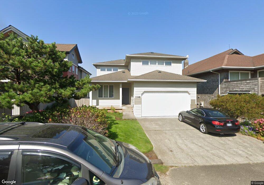
1348 Pacific Ave Cannon Beach, OR 97110
Estimated Value: $2,134,000 - $3,265,000
4
Beds
2
Baths
1,164
Sq Ft
$2,197/Sq Ft
Est. Value
About This Home
This home is located at 1348 Pacific Ave, Cannon Beach, OR 97110 and is currently estimated at $2,556,835, approximately $2,196 per square foot. 1348 Pacific Ave is a home with nearby schools including Seaside High School and The Cannon Beach Academy.
Ownership History
Date
Name
Owned For
Owner Type
Purchase Details
Closed on
Jun 2, 2025
Sold by
Clark Brittney M
Bought by
Clark Revocable Living Trust and Clark
Current Estimated Value
Purchase Details
Closed on
Jul 23, 2023
Sold by
Tracey A Clark 2017 Trust and Richard M Clark 2017 Trust
Bought by
Clark Brittney M
Purchase Details
Closed on
Jan 19, 2022
Sold by
Moquin Anthony L
Bought by
Anthony L Moquin And Betty A Moquin Revocable and Moquin Betty M
Purchase Details
Closed on
Dec 26, 2017
Sold by
Clark Richard M and Clark Tracey A
Bought by
Clark Richard M and The Richard M Clark 2017 Trust
Create a Home Valuation Report for This Property
The Home Valuation Report is an in-depth analysis detailing your home's value as well as a comparison with similar homes in the area
Home Values in the Area
Average Home Value in this Area
Purchase History
| Date | Buyer | Sale Price | Title Company |
|---|---|---|---|
| Clark Revocable Living Trust | -- | None Listed On Document | |
| Clark Brittney M | -- | None Listed On Document | |
| Anthony L Moquin And Betty A Moquin Revocable | -- | None Listed On Document | |
| Clark Richard M | -- | None Available |
Source: Public Records
Tax History Compared to Growth
Tax History
| Year | Tax Paid | Tax Assessment Tax Assessment Total Assessment is a certain percentage of the fair market value that is determined by local assessors to be the total taxable value of land and additions on the property. | Land | Improvement |
|---|---|---|---|---|
| 2024 | $15,927 | $1,261,763 | -- | -- |
| 2023 | $14,390 | $1,225,013 | $0 | $0 |
| 2022 | $14,016 | $1,189,334 | $0 | $0 |
| 2021 | $13,728 | $1,154,694 | $0 | $0 |
| 2020 | $13,490 | $1,121,063 | $0 | $0 |
| 2019 | $12,679 | $1,088,411 | $0 | $0 |
| 2018 | $12,014 | $1,056,710 | $0 | $0 |
| 2017 | $11,547 | $1,025,933 | $0 | $0 |
| 2016 | $9,931 | $996,053 | $540,332 | $455,721 |
| 2015 | $9,534 | $967,043 | $524,595 | $442,448 |
| 2014 | $9,226 | $938,878 | $0 | $0 |
| 2013 | -- | $911,533 | $0 | $0 |
Source: Public Records
Map
Nearby Homes
- 107 Sunset Blvd
- 0 E Elliott Way Unit 25-50
- 0 E Elliott Way Unit 6903
- 164 E Hills Ln
- 1631 S Hemlock St
- 1625 Forest Lawn Rd
- 1659 Forest Lawn Rd
- 264 E Elliott Way
- 264 Elliott Way
- 131 Arbor Ln
- 216 E Harrison St
- 1880 Pacific St
- 296 E Jackson St
- 3750 Pacific St
- 108 W Jefferson St
- 421 Elk Creek Rd
- 420 Elk Creek Rd Unit 503
- 123 W 1st Ave
- 123 W 1st St
- 123 S Hemlock St
- 1338 Pacific Ave
- 1360 Pacific St
- 1338 Pacific Dr
- 1360 Pacific Ave
- 1372 Pacific Ave
- 1316 Pacific Ave
- 1355 Pacific Ave
- 1347 Pacific Ave
- 1380 Pacific Ave
- 1331 Pacific Dr
- 1331 Pacific Ave
- 1296 Pacific Ave
- 1331 Pacific St
- 1371 Pacific Ave
- 1341 Rock Ct
- 175 W Dawes Ave
- 1420 Pacific Dr
- 1824 Pacific
- 1288 Pacific Ave
- 1288 Pacific Ave