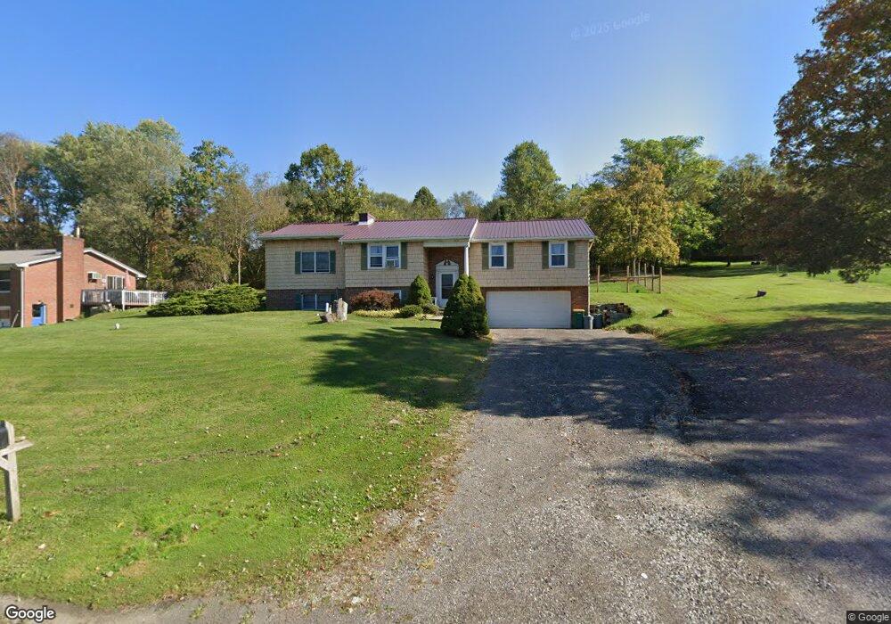
1348 Route 519 Eighty Four, PA 15330
Estimated Value: $377,301 - $535,000
5
Beds
2
Baths
2,402
Sq Ft
$192/Sq Ft
Est. Value
About This Home
This home is located at 1348 Route 519, Eighty Four, PA 15330 and is currently estimated at $460,575, approximately $191 per square foot. 1348 Route 519 is a home with nearby schools including Canon-Mcmillan Senior High School.
Ownership History
Date
Name
Owned For
Owner Type
Purchase Details
Closed on
Mar 16, 2015
Sold by
Bunting Judith D and Galati Janeen R
Bought by
Bunting Judith D and Galati Janeen R
Current Estimated Value
Purchase Details
Closed on
Feb 25, 2015
Sold by
Galati Paul S
Bought by
Galati Jeneen R
Create a Home Valuation Report for This Property
The Home Valuation Report is an in-depth analysis detailing your home's value as well as a comparison with similar homes in the area
Home Values in the Area
Average Home Value in this Area
Purchase History
| Date | Buyer | Sale Price | Title Company |
|---|---|---|---|
| Bunting Judith D | -- | -- | |
| Galati Jeneen R | -- | -- |
Source: Public Records
Tax History
| Year | Tax Paid | Tax Assessment Tax Assessment Total Assessment is a certain percentage of the fair market value that is determined by local assessors to be the total taxable value of land and additions on the property. | Land | Improvement |
|---|---|---|---|---|
| 2025 | $4,042 | $229,500 | $47,300 | $182,200 |
| 2024 | $3,663 | $229,500 | $47,300 | $182,200 |
| 2023 | $3,663 | $229,500 | $47,300 | $182,200 |
| 2022 | $3,652 | $229,500 | $47,300 | $182,200 |
| 2021 | $3,652 | $229,500 | $47,300 | $182,200 |
| 2020 | $3,468 | $229,500 | $47,300 | $182,200 |
| 2019 | $3,410 | $229,500 | $47,300 | $182,200 |
| 2018 | $3,339 | $229,500 | $47,300 | $182,200 |
| 2017 | $695 | $229,500 | $47,300 | $182,200 |
| 2016 | $695 | $19,927 | $1,033 | $18,894 |
| 2015 | $2,253 | $19,927 | $1,033 | $18,894 |
| 2014 | $725 | $19,927 | $1,033 | $18,894 |
| 2013 | $725 | $19,927 | $1,033 | $18,894 |
Source: Public Records
Map
Nearby Homes
- 9 Rose St
- 509 Kairy Ct
- 226 Regency Dr
- LOT 8 Thomas Eighty Four Rd
- 22 Belen Hill Cir
- 22 Belen Cir
- 1645 Route 519
- 190 Linnwood Rd
- 0 Route 519 Unit 1728830
- 0 Route 519 Unit 1706095
- 19 Old Monongahela Pike
- 2035 Majestic Dr
- 2076 Majestic Dr
- 139 Munntown Rd
- Lot 1 Withrow Rd
- 4019 Bentwood Dr
- 104 Linden Rd
- 124 Dyersstone Dr
- 215 Sierra Dr
- 332 Dana Dr
Your Personal Tour Guide
Ask me questions while you tour the home.