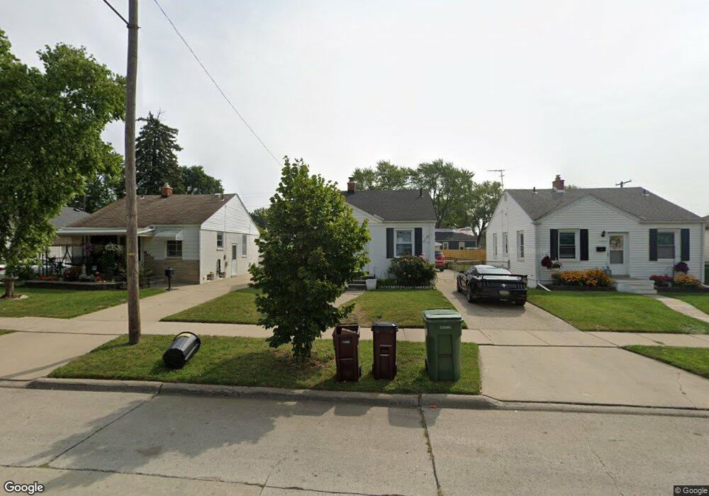
13481 Pearl St Southgate, MI 48195
Estimated Value: $130,000 - $146,000
2
Beds
1
Bath
734
Sq Ft
$186/Sq Ft
Est. Value
About This Home
This home is located at 13481 Pearl St, Southgate, MI 48195 and is currently estimated at $136,678, approximately $186 per square foot. 13481 Pearl St is a home located in Wayne County with nearby schools including Fordline Elementary School, Davidson Middle School, and Southgate Anderson High School.
Ownership History
Date
Name
Owned For
Owner Type
Purchase Details
Closed on
Oct 31, 2022
Sold by
Lafferty Robert
Bought by
Dhiman Kelly A
Current Estimated Value
Purchase Details
Closed on
May 15, 2015
Sold by
Policelli Mark
Bought by
Lafferty Robert
Purchase Details
Closed on
Sep 9, 2009
Sold by
Forgette Duane J and Forgette Jodi L
Bought by
Hsbc Bank Usa National Association
Purchase Details
Closed on
Mar 25, 2009
Sold by
Forgette Duane J and Forgette Jodi L
Bought by
Hsbc Bank Usa National Association
Purchase Details
Closed on
Aug 7, 2001
Sold by
Terry Joel S
Bought by
Forgette Duane J
Create a Home Valuation Report for This Property
The Home Valuation Report is an in-depth analysis detailing your home's value as well as a comparison with similar homes in the area
Home Values in the Area
Average Home Value in this Area
Purchase History
| Date | Buyer | Sale Price | Title Company |
|---|---|---|---|
| Dhiman Kelly A | -- | -- | |
| Lafferty Robert | $15,000 | Mi Title Ins Agency Inc | |
| Hsbc Bank Usa National Association | $1,500 | None Available | |
| Hsbc Bank Usa National Association | $123,839 | None Available | |
| Forgette Duane J | $94,900 | -- |
Source: Public Records
Tax History Compared to Growth
Tax History
| Year | Tax Paid | Tax Assessment Tax Assessment Total Assessment is a certain percentage of the fair market value that is determined by local assessors to be the total taxable value of land and additions on the property. | Land | Improvement |
|---|---|---|---|---|
| 2025 | $2,329 | $61,300 | $0 | $0 |
| 2024 | $2,329 | $56,800 | $0 | $0 |
| 2023 | $2,220 | $51,300 | $0 | $0 |
| 2022 | $2,444 | $46,200 | $0 | $0 |
| 2021 | $2,376 | $42,000 | $0 | $0 |
| 2020 | $2,338 | $37,700 | $0 | $0 |
| 2019 | $2,306 | $34,500 | $0 | $0 |
| 2018 | $1,875 | $30,900 | $0 | $0 |
| 2017 | $793 | $28,800 | $0 | $0 |
| 2016 | $2,145 | $28,600 | $0 | $0 |
| 2015 | $2,622 | $27,700 | $0 | $0 |
| 2013 | $2,540 | $25,600 | $0 | $0 |
| 2012 | $1,648 | $25,000 | $4,600 | $20,400 |
Source: Public Records
Map
Nearby Homes
- 13546 Trenton Rd
- 13632 Pearl St
- 13728 Agnes St
- 13367 Fordline St
- 13787 Irene St
- 13543 Poplar St
- 13847 Helen St
- 13650 Jobin St
- 12750 Longtin St
- 0 Poplar St
- 12685 Fordline St
- 13550 Karl St
- 13459 Jobin St
- 13395 Pullman St
- 14268 Trenton Rd
- 13371 Walnut St
- 13335 Pullman St
- 14370 Pearl St
- 13311 Castle St
- 12792 Elaine Dr
- 13469 Pearl St
- 13493 Pearl St
- 13505 Pearl St
- 13455 Pearl St
- 13470 Agnes St
- 13458 Agnes St
- 13482 Agnes St
- 13446 Agnes St
- 13441 Pearl St
- 13494 Agnes St
- 13529 Pearl St
- 13456 Pearl St
- 13480 Pearl St
- 13468 Pearl St
- 13492 Pearl St
- 13434 Agnes St
- 13506 Agnes St
- 13429 Pearl St Unit Bldg-Unit
- 13429 Pearl St
- 13504 Pearl St