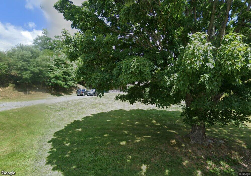
1349 Clear Fork Rd Tazewell, VA 24651
Estimated Value: $178,000 - $271,000
3
Beds
2
Baths
1,232
Sq Ft
$182/Sq Ft
Est. Value
About This Home
This home is located at 1349 Clear Fork Rd, Tazewell, VA 24651 and is currently estimated at $224,495, approximately $182 per square foot. 1349 Clear Fork Rd is a home located in Tazewell County.
Ownership History
Date
Name
Owned For
Owner Type
Purchase Details
Closed on
Oct 4, 2006
Sold by
Leffel Stephen Ray
Bought by
Shirley Brian and Shirley Sarah
Current Estimated Value
Home Financials for this Owner
Home Financials are based on the most recent Mortgage that was taken out on this home.
Original Mortgage
$20,800
Outstanding Balance
$12,273
Interest Rate
6.54%
Mortgage Type
Credit Line Revolving
Estimated Equity
$212,222
Create a Home Valuation Report for This Property
The Home Valuation Report is an in-depth analysis detailing your home's value as well as a comparison with similar homes in the area
Home Values in the Area
Average Home Value in this Area
Purchase History
| Date | Buyer | Sale Price | Title Company |
|---|---|---|---|
| Shirley Brian | $25,000 | -- |
Source: Public Records
Mortgage History
| Date | Status | Borrower | Loan Amount |
|---|---|---|---|
| Open | Shirley Brian | $20,800 |
Source: Public Records
Tax History Compared to Growth
Tax History
| Year | Tax Paid | Tax Assessment Tax Assessment Total Assessment is a certain percentage of the fair market value that is determined by local assessors to be the total taxable value of land and additions on the property. | Land | Improvement |
|---|---|---|---|---|
| 2025 | $952 | $164,200 | $40,900 | $123,300 |
| 2023 | $819 | $141,200 | $34,500 | $106,700 |
| 2022 | $819 | $141,200 | $34,500 | $106,700 |
| 2021 | $819 | $141,200 | $34,500 | $106,700 |
| 2020 | $819 | $141,200 | $34,500 | $106,700 |
| 2019 | $819 | $141,200 | $34,500 | $106,700 |
| 2018 | $672 | $141,200 | $34,500 | $106,700 |
| 2017 | $672 | $122,200 | $34,500 | $87,700 |
| 2016 | -- | $122,200 | $34,500 | $87,700 |
| 2015 | -- | $122,200 | $34,500 | $87,700 |
| 2014 | -- | $122,200 | $34,500 | $87,700 |
| 2013 | -- | $122,200 | $34,500 | $87,700 |
Source: Public Records
Map
Nearby Homes
- 214 Kelley St
- TBD Laredo St
- 365 Olympic Dr
- 335 Tacoma Rd
- 2059 Clearfork Rd
- 340 Foxborough St
- 3225 Lynn Hollow Rd
- TBD Burkes Garden Rd
- TBA Tba Beverly Hills Dr
- 1665 Tiptop Rd
- 135 Tickle St
- 379 Freedom Ave
- 561 Hillsboro Dr
- 481 Hill St
- TBD Kulchar Ln
- 1353 Fincastle Turnpike
- 412 Yorkshire Rd
- 7688 Mud Fork Rd
- Lot 88 Nye Valley Rd - Cove Creek
- 127 Anns Ln
- 1315 Clear Fork Rd
- 1419 Clear Fork Rd
- 1381 Clear Fork Rd
- 1235 Clear Fork Rd
- 1224 Clear Fork Rd
- 1245 Clear Fork Rd
- 1111 Clear Fork Rd
- 1118 Clear Fork Rd
- 211 Melvin Ln
- 1053 Clear Fork Rd
- 346 Stowers Dr
- 989 Clear Fork Rd
- 1762 Clearfork Rd
- 883 Clear Fork Rd
- 197 Puckett Hollow Rd
- 128 Stowers Dr
- 337 Puckett Hollow Rd
- 717 Clear Fork Rd
- 364 Puckett Hollow Rd
- 1965 Clear Fork Rd
