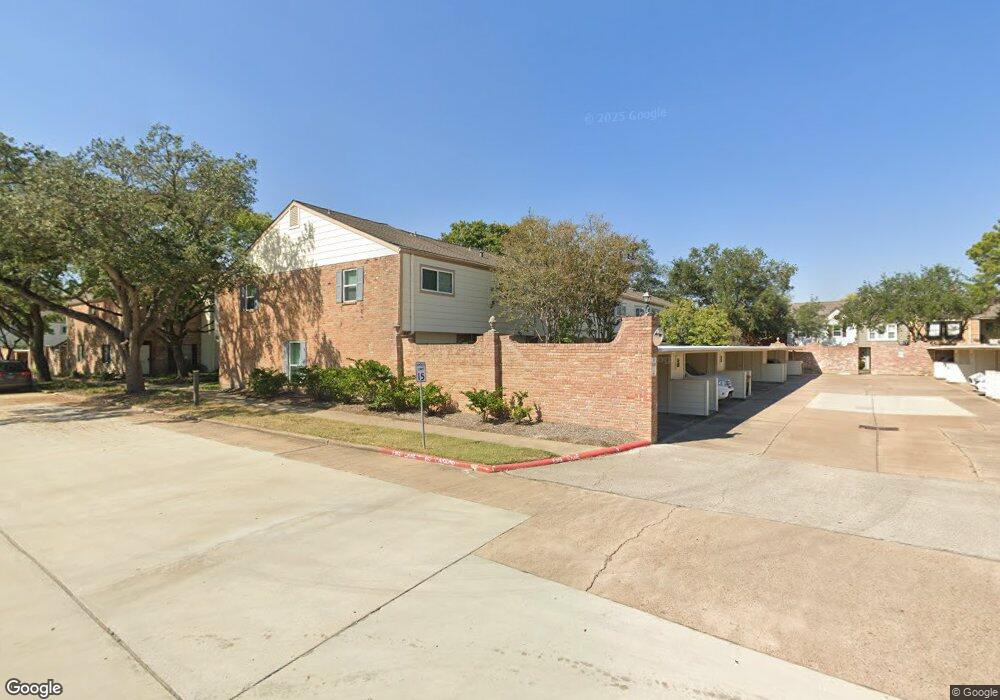
1349 Country Place Dr Unit 10/3 Houston, TX 77079
Energy Corridor NeighborhoodEstimated Value: $238,000 - $276,000
3
Beds
3
Baths
1,886
Sq Ft
$135/Sq Ft
Est. Value
About This Home
This home is located at 1349 Country Place Dr Unit 10/3, Houston, TX 77079 and is currently estimated at $254,891, approximately $135 per square foot. 1349 Country Place Dr Unit 10/3 is a home located in Harris County with nearby schools including Thornwood Elementary School, Spring Forest Middle School, and Stratford High School.
Ownership History
Date
Name
Owned For
Owner Type
Purchase Details
Closed on
Oct 5, 2022
Sold by
Gil/Royere Living Trust
Bought by
Gil Dominique Christian and Royere Anne
Current Estimated Value
Purchase Details
Closed on
May 25, 2021
Sold by
Gil Dominique Christian and Royere Anne
Bought by
Gil Dominique Christian and Royere Anne
Purchase Details
Closed on
Aug 22, 2014
Sold by
Saltgrass Investments Llc
Bought by
Royere Gil Dominique Christine and Royere Gil Anne
Purchase Details
Closed on
Mar 28, 2014
Sold by
Soape Mary C and Soape Mary Corrane
Bought by
Saltgrass Investments Llc
Home Financials for this Owner
Home Financials are based on the most recent Mortgage that was taken out on this home.
Original Mortgage
$113,750
Interest Rate
4.38%
Mortgage Type
New Conventional
Create a Home Valuation Report for This Property
The Home Valuation Report is an in-depth analysis detailing your home's value as well as a comparison with similar homes in the area
Home Values in the Area
Average Home Value in this Area
Purchase History
| Date | Buyer | Sale Price | Title Company |
|---|---|---|---|
| Gil Dominique Christian | -- | -- | |
| Gil Dominique Christian | -- | None Available | |
| Royere Gil Dominique Christine | -- | Stewart Title | |
| Saltgrass Investments Llc | -- | Stewart Title |
Source: Public Records
Mortgage History
| Date | Status | Borrower | Loan Amount |
|---|---|---|---|
| Previous Owner | Saltgrass Investments Llc | $113,750 |
Source: Public Records
Tax History Compared to Growth
Tax History
| Year | Tax Paid | Tax Assessment Tax Assessment Total Assessment is a certain percentage of the fair market value that is determined by local assessors to be the total taxable value of land and additions on the property. | Land | Improvement |
|---|---|---|---|---|
| 2025 | $5,497 | $261,790 | $65,772 | $196,018 |
| 2024 | $5,497 | $249,399 | $65,772 | $183,627 |
| 2023 | $5,497 | $269,197 | $65,772 | $203,425 |
| 2022 | $5,392 | $220,127 | $65,772 | $154,355 |
| 2021 | $4,727 | $193,625 | $65,772 | $127,853 |
| 2020 | $4,886 | $195,000 | $64,620 | $130,380 |
| 2019 | $5,498 | $210,000 | $51,696 | $158,304 |
| 2018 | $2,545 | $208,000 | $51,696 | $156,304 |
| 2017 | $5,494 | $210,000 | $51,696 | $158,304 |
| 2016 | $5,045 | $192,850 | $51,696 | $141,154 |
| 2015 | $3,723 | $183,133 | $51,696 | $131,437 |
| 2014 | $3,723 | $139,865 | $25,848 | $114,017 |
Source: Public Records
Map
Nearby Homes
- 1310 Country Place Dr
- 1381 Country Place Dr Unit 23
- 14407 Still Meadow Dr
- 1334 Country Place Dr
- 14322 Misty Meadow Ln
- 14435 Misty Meadow Ln
- 1147 Country Place Dr
- 14387 Misty Meadow Ln
- 14311 Misty Meadow Ln
- 14325 Lost Meadow Ln
- 14507 Misty Meadow Ln
- 1071 Country Place Dr Unit 1071
- 14571 Misty Meadow Ln
- 14535 Misty Meadow Ln
- 14228 Misty Meadow Ln
- 14226 Misty Meadow Ln
- 14213 Lost Meadow Ln
- 14143 Lost Meadow Ln
- 14151 Lost Meadow Ln
- 14171 Misty Meadow Ln
- 1351 Country Place Dr
- 1353 Country Place Dr
- 1349 Country Place Dr Unit 10
- 1347 Country Place Dr
- 1345 Country Place Dr
- 1343 Country Place Dr
- 1325 Country Place Dr
- 1327 Country Place Dr
- 1323 Country Place Dr
- 1329 Country Place Dr
- 1331 Country Place Dr
- 1341 Country Place Dr
- 1333 Country Place Dr Unit 11
- 1335 Country Place Dr
- 1357 Country Place Dr
- 1227 Country Place Dr
- 1355 Country Place Dr
- 1359 Country Place Dr
- 1361 Country Place Dr Unit 94
- 1363 Country Place Dr