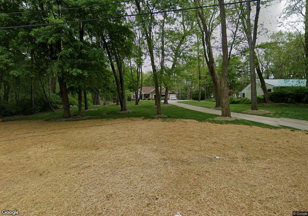
13492 Mogadore Ave NW Uniontown, OH 44685
Estimated Value: $342,000 - $463,257
3
Beds
2
Baths
2,064
Sq Ft
$196/Sq Ft
Est. Value
About This Home
This home is located at 13492 Mogadore Ave NW, Uniontown, OH 44685 and is currently estimated at $403,752, approximately $195 per square foot. 13492 Mogadore Ave NW is a home with nearby schools including Lake Middle/High School.
Ownership History
Date
Name
Owned For
Owner Type
Purchase Details
Closed on
Dec 27, 2019
Sold by
Zito Ryan D and Zito Susan E
Bought by
Zito Ryan D and Zito Susan E
Current Estimated Value
Purchase Details
Closed on
Oct 21, 2015
Sold by
Jeromin Vivian D
Bought by
Zito Ryan D and Zito Susan E
Home Financials for this Owner
Home Financials are based on the most recent Mortgage that was taken out on this home.
Original Mortgage
$43,500
Interest Rate
3.87%
Mortgage Type
New Conventional
Purchase Details
Closed on
Jun 15, 2006
Sold by
Jeromin Joseph A and Jeromin Vivian D
Bought by
Jeromin Joseph A and Jeromin Vivian D
Create a Home Valuation Report for This Property
The Home Valuation Report is an in-depth analysis detailing your home's value as well as a comparison with similar homes in the area
Home Values in the Area
Average Home Value in this Area
Purchase History
| Date | Buyer | Sale Price | Title Company |
|---|---|---|---|
| Zito Ryan D | -- | None Available | |
| Zito Ryan D | $58,000 | Buckeye Reserve Title Agency | |
| Jeromin Joseph A | -- | None Available |
Source: Public Records
Mortgage History
| Date | Status | Borrower | Loan Amount |
|---|---|---|---|
| Closed | Zito Ryan D | $43,500 |
Source: Public Records
Tax History Compared to Growth
Tax History
| Year | Tax Paid | Tax Assessment Tax Assessment Total Assessment is a certain percentage of the fair market value that is determined by local assessors to be the total taxable value of land and additions on the property. | Land | Improvement |
|---|---|---|---|---|
| 2022 | $7,182 | $140,360 | $14,600 | $125,760 |
| 2021 | $7,259 | $140,360 | $14,600 | $125,760 |
| 2020 | $6,858 | $118,480 | $12,600 | $105,880 |
| 2019 | $6,958 | $118,480 | $12,600 | $105,880 |
| 2018 | $6,971 | $118,480 | $12,600 | $105,880 |
| 2017 | $497 | $7,810 | $7,810 | $0 |
| 2016 | $498 | $7,810 | $7,810 | $0 |
| 2015 | $498 | $7,810 | $7,810 | $0 |
| 2014 | $457 | $7,350 | $7,350 | $0 |
| 2013 | $229 | $7,350 | $7,350 | $0 |
Source: Public Records
Map
Nearby Homes
- 13341 Sugar Bush Ave NW
- 2944 Pontius St NW
- 3100 Linden St NW
- 91 Pontius Rd
- 2498 Foxfire St NW
- 3310 Linden St NW
- 0 Pontius Rd Unit 5163828
- 2025 Portage Line Rd
- 0 Pine St NW
- 2693 Ledgestone Dr NW
- 13792 Amodio Ave NW
- 12494 Bridgemont Ave NW
- 2399 Ledgestone Dr NW
- 2455 Ledgestone Dr NW
- 2439 Ledgestone Dr NW
- 2411 Ledgestone Dr NW
- 3796 Sweitzer St NW
- 835 Brodie Ct
- 843 Brodie Ct
- 1905 Hampshire Cir NW
- 13484 Mogadore Ave NW
- 13495 Mogadore Ave NW
- 13527 Mogadore Ave NW
- 13477 Mogadore Ave NW
- 2880 Linden St NW
- 13442 Mogadore Ave NW
- 13559 Mogadore Ave NW
- 13518 Theeland Ave NW
- 2888 Linden St NW
- 13414 Mogadore Ave NW
- 13443 Tippecanoe Ave NW
- 13616 Mogadore Ave NW
- 13514 Theeland Ave NW
- 13417 Tippecanoe Ave NW
- 13579 Mogadore Ave NW
- 2895 Linden St NW
- 13411 Mogadore Ave NW
- 2904 Linden St NW
- 13540 Mogadore Ave NW
- 13620 Mogadore Ave NW