134R Tremont St Rehoboth, MA 02769
Estimated Value: $617,686 - $719,000
3
Beds
1
Bath
2,412
Sq Ft
$278/Sq Ft
Est. Value
About This Home
This home is located at 134R Tremont St, Rehoboth, MA 02769 and is currently estimated at $671,172, approximately $278 per square foot. 134R Tremont St is a home located in Bristol County with nearby schools including Dighton-Rehoboth Regional High School, Grace Baptist Christian Academy, and Cedar Brook School.
Ownership History
Date
Name
Owned For
Owner Type
Purchase Details
Closed on
Jan 16, 2024
Sold by
Roy Holly -
Bought by
Holly-Ann Ret and Roy
Current Estimated Value
Purchase Details
Closed on
Jul 7, 2023
Sold by
Roy Daniel J
Bought by
Roy Holly-Ann
Purchase Details
Closed on
Mar 8, 1994
Sold by
Roy Normand E
Bought by
Roy Daniel J
Create a Home Valuation Report for This Property
The Home Valuation Report is an in-depth analysis detailing your home's value as well as a comparison with similar homes in the area
Home Values in the Area
Average Home Value in this Area
Purchase History
| Date | Buyer | Sale Price | Title Company |
|---|---|---|---|
| Holly-Ann Ret | -- | None Available | |
| Holly-Ann Ret | -- | None Available | |
| Roy Holly-Ann | -- | None Available | |
| Roy Holly-Ann | -- | None Available | |
| Roy Daniel J | $134,000 | -- | |
| Roy Daniel J | $134,000 | -- |
Source: Public Records
Mortgage History
| Date | Status | Borrower | Loan Amount |
|---|---|---|---|
| Previous Owner | Roy Daniel J | $169,000 | |
| Previous Owner | Roy Daniel J | $118,000 | |
| Previous Owner | Roy Daniel J | $24,000 |
Source: Public Records
Tax History Compared to Growth
Tax History
| Year | Tax Paid | Tax Assessment Tax Assessment Total Assessment is a certain percentage of the fair market value that is determined by local assessors to be the total taxable value of land and additions on the property. | Land | Improvement |
|---|---|---|---|---|
| 2025 | $5,828 | $522,700 | $168,200 | $354,500 |
| 2024 | $5,485 | $482,800 | $151,700 | $331,100 |
| 2023 | $5,315 | $459,000 | $148,700 | $310,300 |
| 2022 | $5,158 | $407,100 | $148,700 | $258,400 |
| 2021 | $4,856 | $366,800 | $134,300 | $232,500 |
| 2020 | $4,373 | $333,300 | $119,000 | $214,300 |
| 2018 | $4,035 | $337,100 | $128,000 | $209,100 |
| 2017 | $3,739 | $297,700 | $135,300 | $162,400 |
| 2016 | $3,592 | $295,600 | $128,000 | $167,600 |
Source: Public Records
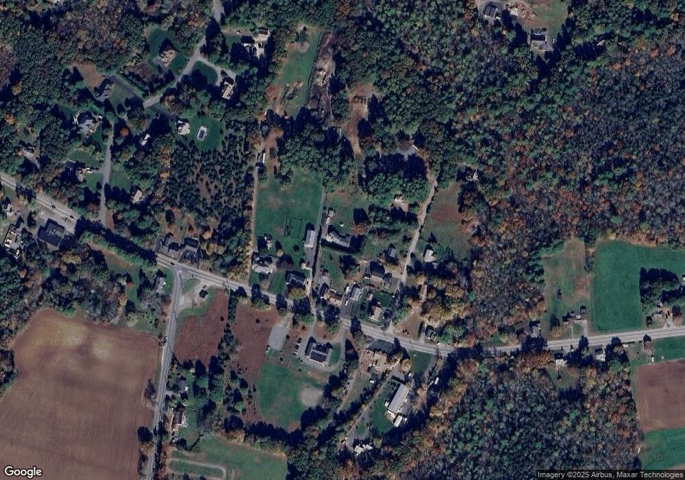
Map
Nearby Homes
- 2 Round Farm Rd
- 1 Round Farm Rd
- 48 Round Farm Rd
- 58 Peck St
- 99 Brigham Hill Rd
- 240 Smith St
- 14 Tremont St
- 29 & 43 Francis St
- 8 Kasmira Way
- 27 Run Brook Cir
- 4 Colonial Dr Unit 4
- 70 Forest Hill Dr
- 84 Fairview Ave
- 3 Gilberts Way
- 1120 Glebe St
- 45 Spruce Ln
- 470 Hodges St
- 3 Wilmarth St
- 127 John Scott Blvd
- 125 John Scott Blvd
- 68 Great Cedar Swamp Rd
- 10 Great Cedar Swamp Rd
- 136 Tremont St
- 4 Great Cedar Swamp Rd
- 132 Tremont St
- 140 Tremont St
- 5 Great Cedar Swamp Rd
- 134 Tremont St
- 130 Tremont St
- 126 Tremont St
- 9 Great Cedar Swamp Rd
- 133 Tremont St
- 124 Tremont St
- 146 Tremont St
- 15 Birchwood Dr
- 9 Birchwood Dr
- 19 Birchwood Dr
- 125 Tremont St
- 125 Tremont St Unit 2
- 125 Tremont St Unit 1