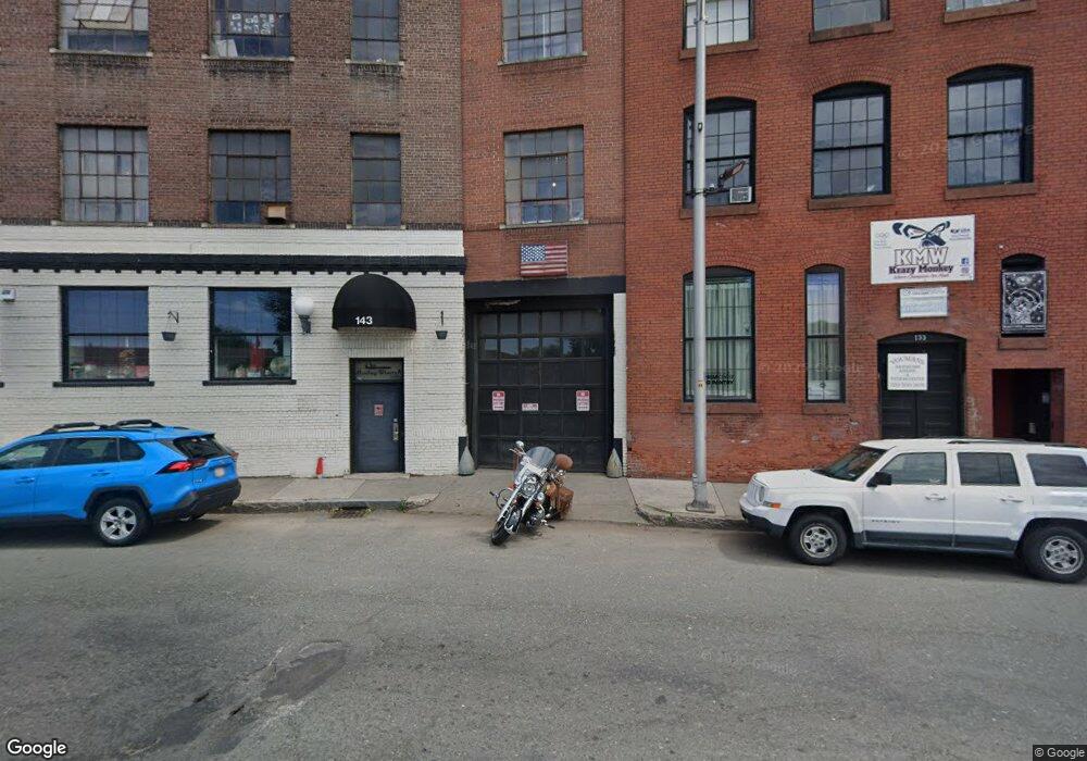
135 1/2 Main St Springfield, MA 01105
Forest Park NeighborhoodEstimated Value: $293,885 - $450,000
8
Beds
3
Baths
2,098
Sq Ft
$169/Sq Ft
Est. Value
About This Home
This home is located at 135 1/2 Main St, Springfield, MA 01105 and is currently estimated at $353,971, approximately $168 per square foot. 135 1/2 Main St is a home located in Hampden County with nearby schools including Daniel B Brunton, South End Middle School, and High School Of Commerce.
Ownership History
Date
Name
Owned For
Owner Type
Purchase Details
Closed on
Jul 10, 2020
Sold by
Nemphos Stephen and Deroche David J
Bought by
Recovery Housing Llc
Current Estimated Value
Home Financials for this Owner
Home Financials are based on the most recent Mortgage that was taken out on this home.
Original Mortgage
$413,000
Outstanding Balance
$366,221
Interest Rate
3.1%
Mortgage Type
New Conventional
Estimated Equity
-$12,250
Create a Home Valuation Report for This Property
The Home Valuation Report is an in-depth analysis detailing your home's value as well as a comparison with similar homes in the area
Home Values in the Area
Average Home Value in this Area
Purchase History
| Date | Buyer | Sale Price | Title Company |
|---|---|---|---|
| Recovery Housing Llc | $600,000 | None Available |
Source: Public Records
Mortgage History
| Date | Status | Borrower | Loan Amount |
|---|---|---|---|
| Open | Recovery Housing Llc | $413,000 |
Source: Public Records
Tax History Compared to Growth
Tax History
| Year | Tax Paid | Tax Assessment Tax Assessment Total Assessment is a certain percentage of the fair market value that is determined by local assessors to be the total taxable value of land and additions on the property. | Land | Improvement |
|---|---|---|---|---|
| 2025 | $3,050 | $194,500 | $40,500 | $154,000 |
| 2024 | $2,735 | $170,300 | $37,900 | $132,400 |
| 2023 | $2,447 | $143,500 | $31,000 | $112,500 |
| 2022 | $2,691 | $143,000 | $29,000 | $114,000 |
| 2021 | $2,669 | $141,200 | $26,400 | $114,800 |
| 2020 | $2,412 | $123,500 | $26,400 | $97,100 |
| 2019 | $2,373 | $120,600 | $27,300 | $93,300 |
| 2018 | $2,181 | $110,800 | $27,300 | $83,500 |
| 2017 | $1,968 | $100,100 | $23,200 | $76,900 |
| 2016 | $1,817 | $92,400 | $23,200 | $69,200 |
| 2015 | $1,735 | $88,200 | $23,200 | $65,000 |
Source: Public Records
Map
Nearby Homes
- 67 Fort Pleasant Ave
- 44 Belmont Ave
- 41 Belmont Ave
- 220-222 Fort Pleasant Ave
- 29 Warriner Ave
- 118 Longhill St Unit 3
- 51 Acushnet Ave
- 120 Mill St
- 128 Mill St
- 226 Fort Pleasant Ave
- 34 Sumner Ave Unit 314
- 34 Sumner Ave Unit 302
- 34 Sumner Ave Unit 208
- 570-582 Main St
- 28 Mountainview St
- 21 Mountainview St
- 228 Belmont Ave
- 88 Marble St
- 49 Euclid Ave
- 122 Bellevue Ave
- 137 Main St
- 139 Main St
- 137 Main St Unit 1
- 135 1/2 Main St Unit 1
- 135 1/2 Main St Unit 2
- 125 Main St
- 139-143 Main (Indian Orchard)
- 125-143 Main St Unit 332
- 125-143 Main St Unit 331
- 125-143 Main St Unit 314C
- 125 Main St Unit 304
- 125 Main St Unit 301
- 125 Main St Unit 125E
- 125 Main St Unit 1
- 70 Leete St
- 50 Leete St Unit 52
- 58 Leete St
- 100 Main St
- 50-52 Leete St
- 40 Leete St