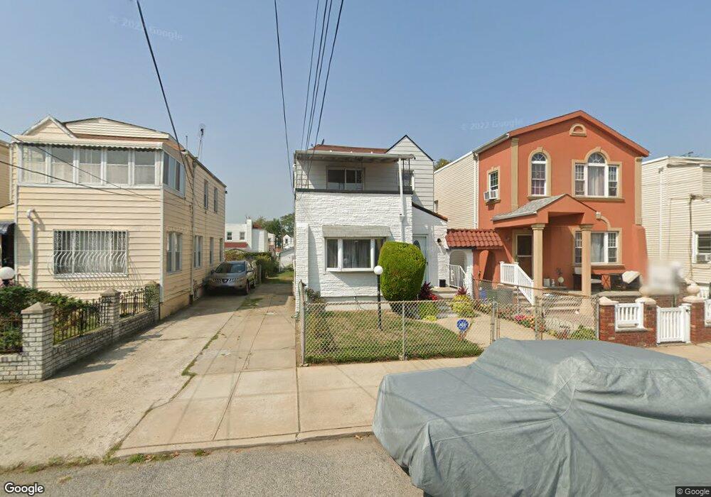
135-20 231st St Springfield Gardens, NY 11413
Laurelton NeighborhoodEstimated Value: $591,000 - $790,000
2
Beds
2
Baths
1,344
Sq Ft
$513/Sq Ft
Est. Value
About This Home
This home is located at 135-20 231st St, Springfield Gardens, NY 11413 and is currently estimated at $689,414, approximately $512 per square foot. 135-20 231st St is a home located in Queens County with nearby schools including P.S. 156 Laurelton, Collaborative Arts Middle School, and Mona Prep.
Ownership History
Date
Name
Owned For
Owner Type
Purchase Details
Closed on
Nov 15, 2016
Sold by
Bernard Peter
Bought by
Sharpe Maulin Rita and Sharpe Phil
Current Estimated Value
Home Financials for this Owner
Home Financials are based on the most recent Mortgage that was taken out on this home.
Original Mortgage
$495,853
Outstanding Balance
$398,711
Interest Rate
3.47%
Mortgage Type
Purchase Money Mortgage
Estimated Equity
$290,703
Purchase Details
Closed on
Jan 9, 2014
Sold by
Bernard Meriza and Bernard Peter
Bought by
Bernard Peter
Purchase Details
Closed on
Oct 9, 2013
Sold by
Seniag 2 Llc
Bought by
Bernard Meriza and Bernard Peter
Home Financials for this Owner
Home Financials are based on the most recent Mortgage that was taken out on this home.
Original Mortgage
$331,877
Interest Rate
4.25%
Mortgage Type
New Conventional
Create a Home Valuation Report for This Property
The Home Valuation Report is an in-depth analysis detailing your home's value as well as a comparison with similar homes in the area
Home Values in the Area
Average Home Value in this Area
Purchase History
| Date | Buyer | Sale Price | Title Company |
|---|---|---|---|
| Sharpe Maulin Rita | $505,000 | -- | |
| Bernard Peter | -- | -- | |
| Bernard Meriza | -- | -- |
Source: Public Records
Mortgage History
| Date | Status | Borrower | Loan Amount |
|---|---|---|---|
| Open | Sharpe Maulin Rita | $495,853 | |
| Previous Owner | Bernard Meriza | $331,877 |
Source: Public Records
Tax History Compared to Growth
Tax History
| Year | Tax Paid | Tax Assessment Tax Assessment Total Assessment is a certain percentage of the fair market value that is determined by local assessors to be the total taxable value of land and additions on the property. | Land | Improvement |
|---|---|---|---|---|
| 2025 | $6,563 | $34,436 | $10,490 | $23,946 |
| 2024 | $6,563 | $32,674 | $11,932 | $20,742 |
| 2023 | $6,357 | $31,649 | $11,522 | $20,127 |
| 2022 | $5,961 | $35,460 | $14,220 | $21,240 |
| 2021 | $6,116 | $29,400 | $14,220 | $15,180 |
| 2020 | $6,074 | $31,440 | $14,220 | $17,220 |
| 2019 | $5,696 | $34,620 | $14,220 | $20,400 |
| 2018 | $5,376 | $26,374 | $12,090 | $14,284 |
| 2017 | $5,072 | $24,883 | $12,159 | $12,724 |
| 2016 | $4,841 | $24,883 | $12,159 | $12,724 |
| 2015 | $2,611 | $23,914 | $14,425 | $9,489 |
| 2014 | $2,611 | $22,690 | $12,697 | $9,993 |
Source: Public Records
Map
Nearby Homes
- 135-01 232nd St
- 134-24 230th St
- 13315 231st St
- 234-16 134th Rd
- 13318 233rd St
- 135-47 229th St
- 137-09 231st St
- 135-50 234th St
- 229-09 137th Ave
- 133-18 233rd St
- 135-06 228th St
- 137-29 231st St
- 13315 228th St
- 137-41 232nd St
- 131-74 234th St Unit 1
- 137-47 232nd St
- 234-5 133rd Ave Unit Lower
- 131-66 234th St Unit Lower
- 13144 Francis Lewis Blvd
- 23432 133rd Ave Unit LOWER
- 135-20 231
- 13512 231st St
- 13508 231st St
- 135-16 231st St
- 13516 231st St
- 13506 231st St
- 13518 231st St
- 13502 231st St
- 13509 231st St Unit 1Fl&2F
- 13509 231st St
- 135-19 231st St
- 13520 231st St
- 135-11 231st St
- 135-09 231st St Unit 1Fl&2F
- 135-09 231st St
- 13507 231st St
- 13509 231st St
- 13507 Francis Lewis Blvd
- 13511 Francis Lewis Blvd
- 13505 231st St