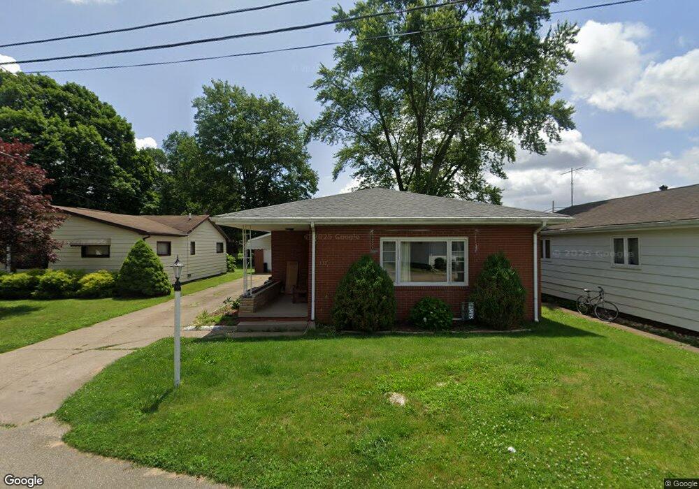
135 7th Dr SE New Philadelphia, OH 44663
Estimated Value: $136,000 - $173,000
3
Beds
2
Baths
1,212
Sq Ft
$126/Sq Ft
Est. Value
About This Home
This home is located at 135 7th Dr SE, New Philadelphia, OH 44663 and is currently estimated at $152,251, approximately $125 per square foot. 135 7th Dr SE is a home located in Tuscarawas County with nearby schools including New Philadelphia High School, Quaker Preparatory Academy, and Quaker Digital Academy.
Ownership History
Date
Name
Owned For
Owner Type
Purchase Details
Closed on
Aug 24, 2005
Sold by
Taitt Katherine and The Estate Of Beulah Ann Marti
Bought by
Makepeace Alan B and Makepeace Jessica A
Current Estimated Value
Home Financials for this Owner
Home Financials are based on the most recent Mortgage that was taken out on this home.
Original Mortgage
$95,000
Outstanding Balance
$50,353
Interest Rate
5.8%
Mortgage Type
Fannie Mae Freddie Mac
Estimated Equity
$101,898
Create a Home Valuation Report for This Property
The Home Valuation Report is an in-depth analysis detailing your home's value as well as a comparison with similar homes in the area
Home Values in the Area
Average Home Value in this Area
Purchase History
| Date | Buyer | Sale Price | Title Company |
|---|---|---|---|
| Makepeace Alan B | $190,000 | -- |
Source: Public Records
Mortgage History
| Date | Status | Borrower | Loan Amount |
|---|---|---|---|
| Open | Makepeace Alan B | $95,000 |
Source: Public Records
Tax History Compared to Growth
Tax History
| Year | Tax Paid | Tax Assessment Tax Assessment Total Assessment is a certain percentage of the fair market value that is determined by local assessors to be the total taxable value of land and additions on the property. | Land | Improvement |
|---|---|---|---|---|
| 2024 | $1,483 | $38,500 | $7,710 | $30,790 |
| 2023 | $1,483 | $110,010 | $22,030 | $87,980 |
| 2022 | $1,494 | $38,504 | $7,711 | $30,793 |
| 2021 | $1,298 | $31,469 | $5,397 | $26,072 |
| 2020 | $1,305 | $31,469 | $5,397 | $26,072 |
| 2019 | $1,304 | $31,469 | $5,397 | $26,072 |
| 2018 | $1,203 | $27,480 | $4,710 | $22,770 |
| 2017 | $1,184 | $27,480 | $4,710 | $22,770 |
| 2016 | $1,209 | $27,480 | $4,710 | $22,770 |
| 2014 | $1,122 | $24,700 | $4,280 | $20,420 |
| 2013 | $928 | $24,700 | $4,280 | $20,420 |
Source: Public Records
Map
Nearby Homes
- 231 4th St SE
- 221 Sea Gull Dr SE
- 451 Mill Ave SE
- 239 E High Ave Unit A
- 641 Crider Ave NE
- 428 Kaserman Ave NE
- 240 3rd St NE
- 1451 Ridge Rd NE
- 416 2nd Dr NE
- 132 North Ave NE
- 241 Saint Clair Ave SW
- 348 N Broadway St
- 217 Minnich Ave NE
- 1577 State Route 39 NE
- 405 Front Ave SW
- 344 Fair Ave NW
- 221 Dale Ln NW
- 360 3rd St NW
- 419 3rd St NW
- 206 Watson Cir NE
- 129 7th Dr SE
- 139 7th Dr SE
- 143 7th Dr SE
- 125 7th Dr SE
- 134 7th Dr SE Unit B
- 128 7th Dr SE
- 138 7th Dr SE
- 117 7th Dr SE
- 118 7th Dr SE
- 144 7th Dr SE
- 0 Allen Ln SE
- 111 7th Dr SE
- 754 Allen Ln SE
- 708 E High Ave Unit 2
- 734 E High Ave
- 718 E High Ave
- 728 E High Ave
- 702 E High Ave
- 700 E High Ave
- 740 E High Ave