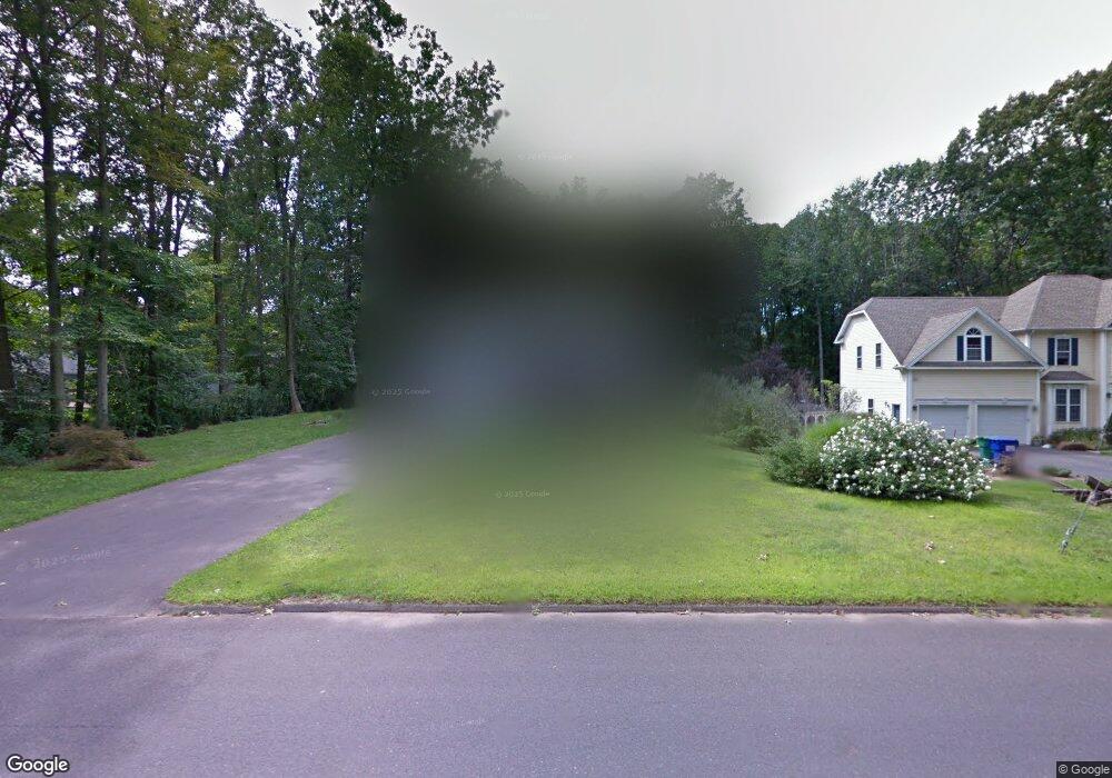
135 Abbe Rd South Windsor, CT 06074
Estimated Value: $594,000 - $640,000
4
Beds
3
Baths
2,291
Sq Ft
$267/Sq Ft
Est. Value
About This Home
This home is located at 135 Abbe Rd, South Windsor, CT 06074 and is currently estimated at $611,917, approximately $267 per square foot. 135 Abbe Rd is a home located in Hartford County with nearby schools including Timothy Edwards School and South Windsor High School.
Ownership History
Date
Name
Owned For
Owner Type
Purchase Details
Closed on
Oct 19, 2001
Sold by
Foran Bros Contr Inc
Bought by
Moss Jeffrey and Moss Lisa
Current Estimated Value
Home Financials for this Owner
Home Financials are based on the most recent Mortgage that was taken out on this home.
Original Mortgage
$75,200
Interest Rate
6.92%
Purchase Details
Closed on
Sep 9, 1999
Sold by
Ahearn Frank E
Bought by
Contr Foran Brothers
Create a Home Valuation Report for This Property
The Home Valuation Report is an in-depth analysis detailing your home's value as well as a comparison with similar homes in the area
Home Values in the Area
Average Home Value in this Area
Purchase History
| Date | Buyer | Sale Price | Title Company |
|---|---|---|---|
| Moss Jeffrey | $94,000 | -- | |
| Contr Foran Brothers | $75,000 | -- |
Source: Public Records
Mortgage History
| Date | Status | Borrower | Loan Amount |
|---|---|---|---|
| Closed | Contr Foran Brothers | $246,800 | |
| Closed | Contr Foran Brothers | $250,000 | |
| Closed | Contr Foran Brothers | $75,200 |
Source: Public Records
Tax History Compared to Growth
Tax History
| Year | Tax Paid | Tax Assessment Tax Assessment Total Assessment is a certain percentage of the fair market value that is determined by local assessors to be the total taxable value of land and additions on the property. | Land | Improvement |
|---|---|---|---|---|
| 2025 | $11,573 | $325,000 | $97,000 | $228,000 |
| 2024 | $11,200 | $325,000 | $97,000 | $228,000 |
| 2023 | $10,771 | $325,000 | $97,000 | $228,000 |
| 2022 | $9,359 | $241,400 | $90,000 | $151,400 |
| 2021 | $9,139 | $241,400 | $90,000 | $151,400 |
| 2020 | $9,144 | $241,400 | $90,000 | $151,400 |
| 2019 | $9,294 | $241,400 | $90,000 | $151,400 |
| 2018 | $9,094 | $241,400 | $90,000 | $151,400 |
| 2017 | $8,701 | $228,500 | $90,000 | $138,500 |
| 2016 | $8,532 | $228,500 | $90,000 | $138,500 |
| 2015 | $8,349 | $228,500 | $90,000 | $138,500 |
| 2014 | $8,114 | $228,500 | $90,000 | $138,500 |
Source: Public Records
Map
Nearby Homes
- 59 Saginaw St
- 88 Andreis Trail
- 50 High St
- 835 Foster Street Extension
- 76 Griffin Rd
- 2719 Ellington Rd
- 2560 Ellington Rd
- 2773 Ellington Rd
- 51 Carriage Dr
- 31 Wendy Dr
- 40 Barber Hill Rd
- 178 Beelzebub Rd
- 68 Kent Ln
- 11 Kupchunos Rd
- 668 Sullivan Ave
- 387 Foster St
- 816 Sand Stone Dr Unit 816
- 360 Felt Rd
- 178 Scott Dr
- 74 Alison Dr
- 145 Abbe Rd
- 183 Wood Pond Rd
- 195 Wood Pond Rd
- 175 Wood Pond Rd
- 155 Abbe Rd
- 163 Wood Pond Rd
- 20 Rockledge Dr
- 28 Rockledge Dr
- 165 Abbe Rd
- 150 Abbe Rd
- 176 Wood Pond Rd
- 198 Wood Pond Rd
- 155 Wood Pond Rd
- 38 Rockledge Dr
- 166 Wood Pond Rd
- 46 Rockledge Dr
- 154 Wood Pond Rd
- 21 Rockledge Dr
- 139 Wood Pond Rd
- 29 Rockledge Dr