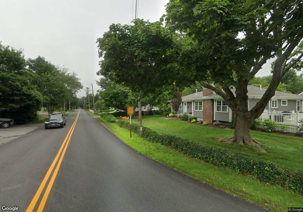
135 Allen Neck Rd South Dartmouth, MA 02748
Great Neck NeighborhoodEstimated Value: $1,188,000 - $3,013,000
4
Beds
3
Baths
5,838
Sq Ft
$373/Sq Ft
Est. Value
About This Home
This home is located at 135 Allen Neck Rd, South Dartmouth, MA 02748 and is currently estimated at $2,179,533, approximately $373 per square foot. 135 Allen Neck Rd is a home located in Bristol County with nearby schools including Dartmouth High School.
Ownership History
Date
Name
Owned For
Owner Type
Purchase Details
Closed on
Dec 13, 2017
Sold by
Darosa Fernando
Bought by
Darosa Fernando L and Darosa Catherine
Current Estimated Value
Purchase Details
Closed on
Aug 22, 2001
Sold by
Est Isaacs Kenneth L and Isaacs Kenneth Ca
Bought by
Darosa Fernando L
Create a Home Valuation Report for This Property
The Home Valuation Report is an in-depth analysis detailing your home's value as well as a comparison with similar homes in the area
Home Values in the Area
Average Home Value in this Area
Purchase History
| Date | Buyer | Sale Price | Title Company |
|---|---|---|---|
| Darosa Fernando L | -- | -- | |
| Darosa Fernando L | $235,000 | -- |
Source: Public Records
Mortgage History
| Date | Status | Borrower | Loan Amount |
|---|---|---|---|
| Previous Owner | Darosa Fernando L | $914,200 | |
| Previous Owner | Darosa Fernando L | $141,000 | |
| Previous Owner | Darosa Fernando L | $500,000 | |
| Previous Owner | Darosa Fernando L | $985,000 |
Source: Public Records
Tax History Compared to Growth
Tax History
| Year | Tax Paid | Tax Assessment Tax Assessment Total Assessment is a certain percentage of the fair market value that is determined by local assessors to be the total taxable value of land and additions on the property. | Land | Improvement |
|---|---|---|---|---|
| 2025 | $18,708 | $2,029,100 | $572,200 | $1,456,900 |
| 2024 | $17,735 | $1,915,200 | $496,300 | $1,418,900 |
| 2023 | $16,587 | $1,675,500 | $351,600 | $1,323,900 |
| 2022 | $15,256 | $1,419,200 | $351,600 | $1,067,600 |
| 2021 | $14,904 | $1,340,300 | $343,100 | $997,200 |
| 2020 | $14,705 | $1,315,300 | $325,500 | $989,800 |
| 2019 | $14,089 | $1,263,600 | $309,900 | $953,700 |
| 2018 | $13,074 | $1,174,300 | $296,300 | $878,000 |
| 2017 | $12,489 | $1,147,900 | $289,300 | $858,600 |
| 2016 | $12,526 | $1,136,700 | $288,300 | $848,400 |
| 2015 | $12,433 | $1,130,300 | $272,600 | $857,700 |
| 2014 | $12,337 | $1,117,500 | $280,800 | $836,700 |
Source: Public Records
Map
Nearby Homes
- Lot 2 Horseneck Rd
- Lot 2E Horseneck Rd
- Lot 1 Rafael Rd
- 61 Pardon Hill Rd
- 99 Sylvia Ln
- 238-242 E Beach Rd
- 158 Little River Rd
- 2 Slades Farm Ln
- 1702 Drift Rd
- 1702J Drift Rd
- 24 White Alder Way
- 1150 Russells Mills Rd
- 0 Reed Rd (Ss)
- 482 Smith Neck Rd
- 105 Rock Odundee Rd
- 1881 Main Rd
- 12 Meadow Shores Rd
- 24 Eagle Dr
- 248 Bakerville Rd
- 1580 Main Rd
- 115 Allen Neck Rd
- 643 Horseneck Rd
- 635 Horseneck Rd
- 90 Allens Neck Rd
- 101 Allen Neck Rd
- 649 Horseneck Rd
- 656 Horseneck Rd
- 660 Horseneck Rd
- 600 Horseneck Rd
- Lot 1 Horseneck Rd
- 664 Horseneck Rd
- 629 Horseneck Rd
- 666 Horseneck Rd
- 605 Horseneck Rd
- 619 Horseneck Rd
- 669 Horseneck Rd
- 665 Horseneck Rd
- 35 Allen Neck Rd
- 683 Horseneck Rd
- 555 Horseneck Rd