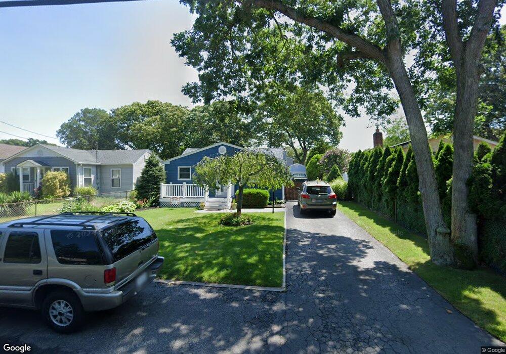
135 Blue Point Rd Selden, NY 11784
Estimated Value: $431,000 - $488,000
2
Beds
1
Bath
1,072
Sq Ft
$431/Sq Ft
Est. Value
About This Home
This home is located at 135 Blue Point Rd, Selden, NY 11784 and is currently estimated at $462,551, approximately $431 per square foot. 135 Blue Point Rd is a home located in Suffolk County.
Ownership History
Date
Name
Owned For
Owner Type
Purchase Details
Closed on
Jun 27, 2007
Sold by
Nofer Richard
Bought by
Miller Michael
Current Estimated Value
Purchase Details
Closed on
Jun 28, 2000
Sold by
Mckinley James and Mckinley Julie
Bought by
Nofer Richard and Ross Janet L
Home Financials for this Owner
Home Financials are based on the most recent Mortgage that was taken out on this home.
Original Mortgage
$123,200
Interest Rate
8.55%
Mortgage Type
FHA
Create a Home Valuation Report for This Property
The Home Valuation Report is an in-depth analysis detailing your home's value as well as a comparison with similar homes in the area
Home Values in the Area
Average Home Value in this Area
Purchase History
| Date | Buyer | Sale Price | Title Company |
|---|---|---|---|
| Miller Michael | $285,000 | Kenneth Grabie | |
| Nofer Richard | $127,000 | Venture Title Agency Inc |
Source: Public Records
Mortgage History
| Date | Status | Borrower | Loan Amount |
|---|---|---|---|
| Previous Owner | Nofer Richard | $123,200 |
Source: Public Records
Tax History Compared to Growth
Tax History
| Year | Tax Paid | Tax Assessment Tax Assessment Total Assessment is a certain percentage of the fair market value that is determined by local assessors to be the total taxable value of land and additions on the property. | Land | Improvement |
|---|---|---|---|---|
| 2024 | $6,509 | $1,650 | $100 | $1,550 |
| 2023 | $6,509 | $1,650 | $100 | $1,550 |
| 2022 | $5,701 | $1,650 | $100 | $1,550 |
| 2021 | $5,701 | $1,650 | $100 | $1,550 |
| 2020 | $5,864 | $1,650 | $100 | $1,550 |
| 2019 | $5,864 | $0 | $0 | $0 |
| 2018 | $5,573 | $1,650 | $100 | $1,550 |
| 2017 | $5,573 | $1,650 | $100 | $1,550 |
| 2016 | $5,565 | $1,650 | $100 | $1,550 |
| 2015 | -- | $1,650 | $100 | $1,550 |
| 2014 | -- | $1,650 | $100 | $1,550 |
Source: Public Records
Map
Nearby Homes
- 16 Daisy Place
- 90 Blue Point Rd
- 1 Ferndale Ave
- 59 Maplewood Ave
- 27 Inwood Ave
- 40 Inwood Ave
- 27 Laurelton Ave
- 44 Oakdale Ave
- 36 Kensington Ave
- 54 Oakdale Ave
- 10 Cedarhurst Ave
- 47 Iroquois Ave
- 60 Cedarhurst Ave
- 16 Hillside Rd
- 99 Elmwood Ave
- 128 S Bicycle Path
- 101 Elmwood Ave
- 534 Middle Country Rd
- 6 Linden St
- 59 Lidge Dr
- 133 Blue Point Rd
- 137 Blue Point Rd
- 129 Blue Point Rd
- 139 Blue Point Rd
- 20 Rose Place
- 22 Rose Place
- 18 Rose Place
- 141 Blue Point Rd
- 16 Rose Place
- 24 Rose Place
- 50 Sunset Ave
- 14 Rose Place
- 142 Blue Point Rd
- 127 Blue Point Rd
- 145 Blue Point Rd
- 12 Rose Place
- 26 Rose Place
- 51 Sunset Ave
- 10 Rose Place
- 146 Blue Point Rd