135 Boreen Rd Eastham, MA 02642
Estimated Value: $1,136,000 - $1,609,000
4
Beds
2
Baths
2,895
Sq Ft
$488/Sq Ft
Est. Value
About This Home
This home is located at 135 Boreen Rd, Eastham, MA 02642 and is currently estimated at $1,411,786, approximately $487 per square foot. 135 Boreen Rd is a home located in Barnstable County with nearby schools including Eastham Elementary School, Nauset Regional Middle School, and Nauset Regional High School.
Ownership History
Date
Name
Owned For
Owner Type
Purchase Details
Closed on
Apr 21, 2021
Sold by
Andrews Mark R and Andrews Suzanne M
Bought by
Skm Andrews Family Llc
Current Estimated Value
Purchase Details
Closed on
Jul 28, 2008
Sold by
Andrews Anne Marie K
Bought by
Andrews Anne Marie K and Andrews Kristen M
Create a Home Valuation Report for This Property
The Home Valuation Report is an in-depth analysis detailing your home's value as well as a comparison with similar homes in the area
Home Values in the Area
Average Home Value in this Area
Purchase History
| Date | Buyer | Sale Price | Title Company |
|---|---|---|---|
| Skm Andrews Family Llc | -- | None Available | |
| Andrews Anne Marie K | -- | -- |
Source: Public Records
Tax History
| Year | Tax Paid | Tax Assessment Tax Assessment Total Assessment is a certain percentage of the fair market value that is determined by local assessors to be the total taxable value of land and additions on the property. | Land | Improvement |
|---|---|---|---|---|
| 2025 | $9,397 | $1,218,800 | $431,000 | $787,800 |
| 2024 | $8,292 | $1,182,900 | $418,400 | $764,500 |
| 2023 | $7,505 | $1,036,600 | $361,600 | $675,000 |
| 2022 | $6,962 | $811,400 | $322,900 | $488,500 |
| 2021 | $6,823 | $743,200 | $293,400 | $449,800 |
| 2020 | $6,331 | $726,000 | $299,500 | $426,500 |
| 2019 | $5,863 | $710,700 | $290,800 | $419,900 |
| 2018 | $5,808 | $695,600 | $282,300 | $413,300 |
| 2017 | $5,430 | $687,300 | $276,800 | $410,500 |
| 2016 | $5,017 | $674,300 | $257,000 | $417,300 |
| 2015 | $4,705 | $662,700 | $252,000 | $410,700 |
Source: Public Records
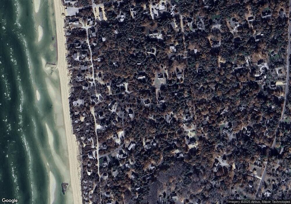
Map
Nearby Homes
- 600 Kingsbury Beach Rd
- 20 Billingsgate Ave
- 85 Huckleberry Ln
- 255 Massasoit Rd
- 10 Bradford Ln
- 82 Old Orchard Rd
- 20 Oak Rd
- 300 School House Rd
- 2705 State Hwy
- 2705 State Hwy Unit 1-8
- 25 Forrest Ave
- 70 Deerfield Ln
- 18 Jay Dee Ln
- 10 Cartway N
- 315 Candlewood Dr
- 340 Salt Works Rd
- 55 Grandfathers Way
- 5470 State Hwy
- 330 Hay Rd
- 100 Gigi Ln
- 50 Boundary Ln
- 180 Swift Rd
- 125 Boreen Rd
- 40 Cranberry Cir
- 50 Cranberry Cir
- 130 Boreen Rd
- 170 Swift Rd
- 30 Cranberry Cir
- 120 Boreen Rd
- 105 Boreen Rd
- 140 Boreen Rd
- 35 Cranberry Cir
- 15 Sand Dollar Ln
- 145 Maria Rd
- 185 Swift Rd
- 5 Sand Dollar Ln
- 100 Boreen Rd
- 10 Cranberry Cir
- 44 Cranberry Cir
- 50 Longstreet Ln
Your Personal Tour Guide
Ask me questions while you tour the home.