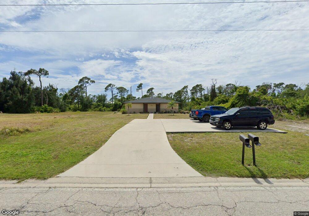
135 Boundary Blvd Unit A & B Rotonda West, FL 33947
Estimated Value: $275,000 - $379,000
4
Beds
4
Baths
2,107
Sq Ft
$154/Sq Ft
Est. Value
About This Home
This home is located at 135 Boundary Blvd Unit A & B, Rotonda West, FL 33947 and is currently estimated at $324,419, approximately $153 per square foot. 135 Boundary Blvd Unit A & B is a home located in Charlotte County with nearby schools including Vineland Elementary School, L.A. Ainger Middle School, and Lemon Bay High School.
Ownership History
Date
Name
Owned For
Owner Type
Purchase Details
Closed on
Sep 24, 2015
Sold by
Flatt Wayne V and Flatt Lynn I
Bought by
Panaro Robert
Current Estimated Value
Purchase Details
Closed on
Feb 12, 2004
Sold by
Flatt Wayne V and Flatt W
Bought by
Flatt Wayne V and Flatt Lynn I
Purchase Details
Closed on
Nov 26, 2001
Sold by
Livingston Ellen M and Wagasy Beverly Livingston
Bought by
Flatt Wayne V and Flatt Lynn I
Home Financials for this Owner
Home Financials are based on the most recent Mortgage that was taken out on this home.
Original Mortgage
$68,250
Interest Rate
6.59%
Purchase Details
Closed on
Jan 7, 1998
Sold by
Sterkel Stanley C and Sterkel Charmaine R
Bought by
Livingston Kenneth C and Livingston Ellen M
Create a Home Valuation Report for This Property
The Home Valuation Report is an in-depth analysis detailing your home's value as well as a comparison with similar homes in the area
Home Values in the Area
Average Home Value in this Area
Purchase History
| Date | Buyer | Sale Price | Title Company |
|---|---|---|---|
| Panaro Robert | $128,800 | First Intl Title Inc | |
| Flatt Wayne V | -- | -- | |
| Flatt Wayne V | $97,500 | -- | |
| Livingston Kenneth C | $85,000 | -- |
Source: Public Records
Mortgage History
| Date | Status | Borrower | Loan Amount |
|---|---|---|---|
| Previous Owner | Flatt Wayne V | $68,250 |
Source: Public Records
Tax History Compared to Growth
Tax History
| Year | Tax Paid | Tax Assessment Tax Assessment Total Assessment is a certain percentage of the fair market value that is determined by local assessors to be the total taxable value of land and additions on the property. | Land | Improvement |
|---|---|---|---|---|
| 2023 | $5,777 | $184,509 | $0 | $0 |
| 2022 | $4,878 | $206,445 | $35,700 | $170,745 |
| 2021 | $4,515 | $165,123 | $17,000 | $148,123 |
| 2020 | $3,941 | $163,065 | $13,600 | $149,465 |
| 2019 | $3,357 | $163,168 | $13,600 | $149,568 |
| 2018 | $3,047 | $158,180 | $11,900 | $146,280 |
| 2017 | $2,772 | $128,104 | $11,220 | $116,884 |
| 2016 | $2,478 | $94,682 | $0 | $0 |
| 2015 | $2,192 | $69,369 | $0 | $0 |
| 2014 | $2,044 | $63,063 | $0 | $0 |
Source: Public Records
Map
Nearby Homes
- 137 Boundary Blvd
- 139 Boundary Blvd
- 143 Boundary Blvd
- 9232 Spring Valley Rd
- 141 Rotonda Cir
- 145 Rotonda Cir
- 140 Rotonda Cir
- 142 Rotonda Cir
- 144 Rotonda Cir
- 964 Boundary Blvd
- 142 & 144 Boundary Blvd
- 1057 Boundary Blvd
- 833 & 835 Boundary Blvd
- 195 Boundary Blvd
- 121 & 123 Boundary Blvd
- 141 Boundary Blvd
- 470 & 472 Boundary Blvd
- 146 Rotonda Cir
- 150 Rotonda Cir
- 169 Boundary Blvd Unit 169P
- 135 Boundary Blvd
- 133 Boundary Blvd
- 133 Boundary Blvd Unit 1 & 2
- 131 Boundary Blvd
- 131 Boundary Blvd Unit A & B
- 131 Boundary Blvd Unit B
- 134 Boundary Blvd Unit A & B
- 134 Boundary Blvd Unit B
- 134 Boundary Blvd
- 129 Boundary Blvd Unit 2
- 129 Boundary Blvd
- 130 Boundary Blvd Unit A & B
- 130 Boundary Blvd
- 132 Boundary Blvd
- 136 Boundary Blvd Unit C
- 136 Boundary Blvd
- 136 Boundary Blvd Unit B
- 138 Boundary Blvd
- 127 Boundary Blvd
- 127 Boundary Blvd Unit 2