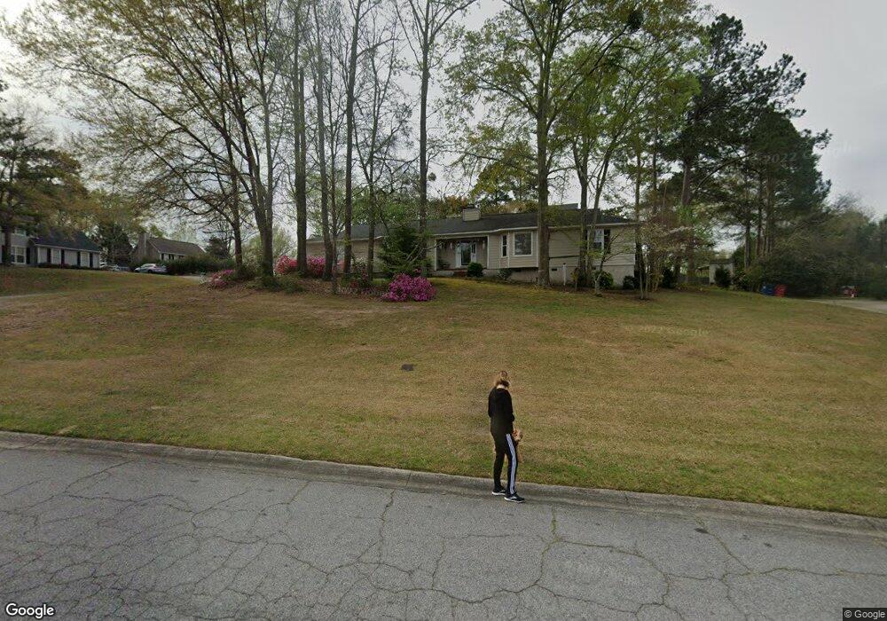
135 Brandon Way Macon, GA 31210
Estimated Value: $232,000 - $266,000
3
Beds
2
Baths
2,025
Sq Ft
$122/Sq Ft
Est. Value
About This Home
This home is located at 135 Brandon Way, Macon, GA 31210 and is currently estimated at $246,775, approximately $121 per square foot. 135 Brandon Way is a home located in Bibb County with nearby schools including Lane Elementary School, Howard Middle School, and Howard High School.
Ownership History
Date
Name
Owned For
Owner Type
Purchase Details
Closed on
Sep 17, 2014
Sold by
Hutchins Robert W
Bought by
Hutchins Sheryl B and Tittle Susan D
Current Estimated Value
Purchase Details
Closed on
Sep 28, 2007
Sold by
Neisler Jeff and Dixon Donna
Bought by
Hutchens Robert and Hutchens Sheryl
Purchase Details
Closed on
Aug 16, 2006
Sold by
Sec Of Veterans Affairs
Bought by
Neisler Jeff
Purchase Details
Closed on
Dec 7, 2004
Sold by
Bank Of New York
Bought by
Veterans Affairs
Create a Home Valuation Report for This Property
The Home Valuation Report is an in-depth analysis detailing your home's value as well as a comparison with similar homes in the area
Home Values in the Area
Average Home Value in this Area
Purchase History
| Date | Buyer | Sale Price | Title Company |
|---|---|---|---|
| Hutchins Sheryl B | -- | -- | |
| Hutchens Robert | $99,000 | None Available | |
| Neisler Jeff | -- | -- | |
| Neisler Jeff | $92,500 | None Available | |
| Veterans Affairs | -- | -- | |
| Bank Of New York | $86,500 | -- |
Source: Public Records
Tax History Compared to Growth
Tax History
| Year | Tax Paid | Tax Assessment Tax Assessment Total Assessment is a certain percentage of the fair market value that is determined by local assessors to be the total taxable value of land and additions on the property. | Land | Improvement |
|---|---|---|---|---|
| 2025 | $1,413 | $72,083 | $14,000 | $58,083 |
| 2024 | $1,463 | $72,083 | $14,000 | $58,083 |
| 2023 | $1,006 | $72,083 | $14,000 | $58,083 |
| 2022 | $1,970 | $70,802 | $11,579 | $59,223 |
| 2021 | $1,711 | $58,894 | $10,247 | $48,647 |
| 2020 | $1,748 | $58,894 | $10,247 | $48,647 |
| 2019 | $1,514 | $52,549 | $10,247 | $42,302 |
| 2018 | $2,497 | $52,549 | $10,247 | $42,302 |
| 2017 | $1,438 | $52,549 | $10,247 | $42,302 |
| 2016 | $1,318 | $52,549 | $10,247 | $42,302 |
| 2015 | $1,870 | $52,549 | $10,247 | $42,302 |
| 2014 | $2,238 | $52,549 | $10,247 | $42,302 |
Source: Public Records
Map
Nearby Homes
- 106 Brandon Way
- 556 Commanche Place
- 673 Commanche Dr
- 602 Commanche Dr
- 627 Lokchapee Ridge
- 636 Lokchapee Ridge
- 731 Lokchapee Dr
- 753 Lokchapee Dr
- 121 Brookstone Way
- 668 Monticlair Dr
- 750 Stonington Place
- 4227 Wood Forest Place
- 825 Forest Lake Dr S
- 938 Lundy Terrace
- 1224 Timberlane Dr
- 859 Forest Lake Dr S
- 621 Forest Hill Rd
- 4511 Rivoli Dr
- 107 Kells Ct
- 0 Kells Ct Unit 7299322
- 0 Kells Ct Unit 8685895
- 0 Kells Ct Unit 8660529
- 0 Kells Ct Unit 7297006
- 0 Kells Ct
- 129 Brandon Way
- 134 Brandon Way
- 102 Kells Ct
- 102 Kells Ct Unit 13
- 121 Brandon Way
- 128 Brandon Way
- 106 Kells Ct
- 140 Brandon Way
- 122 Brandon Way
- 153 Brandon Way
- 148 Brandon Way
- 144 Brandon Way
- 115 Brandon Way
- 111 Kells Ct