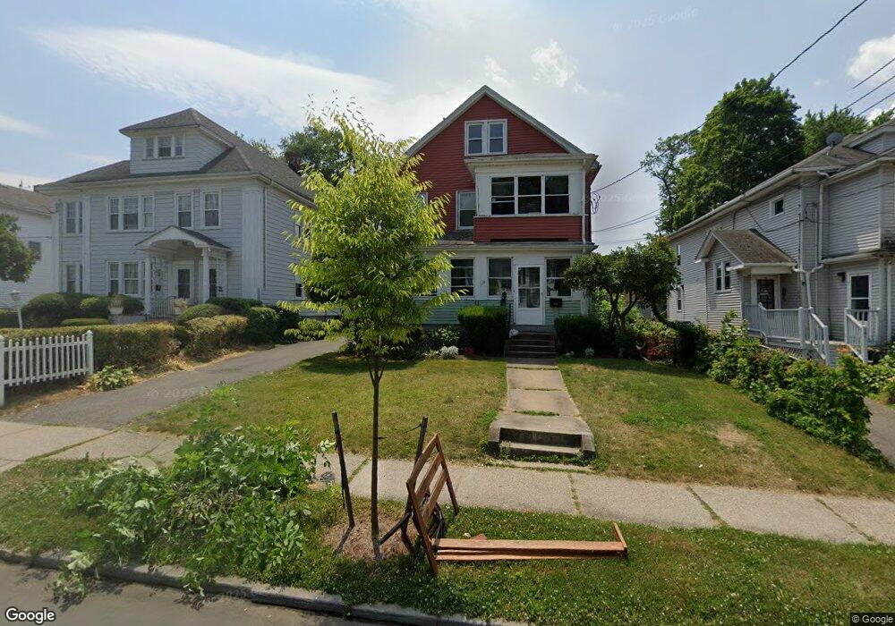
135 Branford St Unit 137 Hartford, CT 06112
Blue Hills NeighborhoodEstimated Value: $254,000 - $422,000
4
Beds
2
Baths
2,336
Sq Ft
$145/Sq Ft
Est. Value
About This Home
This home is located at 135 Branford St Unit 137, Hartford, CT 06112 and is currently estimated at $339,556, approximately $145 per square foot. 135 Branford St Unit 137 is a home located in Hartford County with nearby schools including Rawson School, Breakthrough Magnet School - North Campus, and West Middle School.
Ownership History
Date
Name
Owned For
Owner Type
Purchase Details
Closed on
Feb 17, 2011
Sold by
Us Bank Na
Bought by
Harris I M
Current Estimated Value
Purchase Details
Closed on
Nov 4, 2010
Sold by
Mitchell Paulette
Bought by
Us Bk
Purchase Details
Closed on
Nov 1, 2005
Sold by
Gray Bobbie
Bought by
Mitchell Paulette and Clark Viola
Home Financials for this Owner
Home Financials are based on the most recent Mortgage that was taken out on this home.
Original Mortgage
$173,600
Interest Rate
6%
Mortgage Type
Purchase Money Mortgage
Create a Home Valuation Report for This Property
The Home Valuation Report is an in-depth analysis detailing your home's value as well as a comparison with similar homes in the area
Home Values in the Area
Average Home Value in this Area
Purchase History
| Date | Buyer | Sale Price | Title Company |
|---|---|---|---|
| Harris I M | $116,000 | -- | |
| Us Bk | -- | -- | |
| Mitchell Paulette | $217,000 | -- |
Source: Public Records
Mortgage History
| Date | Status | Borrower | Loan Amount |
|---|---|---|---|
| Previous Owner | Mitchell Paulette | $173,600 | |
| Previous Owner | Mitchell Paulette | $43,400 |
Source: Public Records
Tax History Compared to Growth
Tax History
| Year | Tax Paid | Tax Assessment Tax Assessment Total Assessment is a certain percentage of the fair market value that is determined by local assessors to be the total taxable value of land and additions on the property. | Land | Improvement |
|---|---|---|---|---|
| 2024 | $6,525 | $94,631 | $6,578 | $88,053 |
| 2023 | $6,525 | $94,631 | $6,578 | $88,053 |
| 2022 | $4,379 | $94,631 | $6,578 | $88,053 |
| 2021 | $4,379 | $58,940 | $7,770 | $51,170 |
| 2020 | $4,379 | $58,940 | $7,770 | $51,170 |
| 2019 | $4,379 | $58,940 | $7,770 | $51,170 |
| 2018 | $4,231 | $56,953 | $7,508 | $49,445 |
| 2016 | $3,692 | $49,700 | $7,151 | $42,549 |
| 2015 | $3,517 | $47,339 | $6,811 | $40,528 |
| 2014 | $3,431 | $46,182 | $6,644 | $39,538 |
Source: Public Records
Map
Nearby Homes
- 355 Cornwall St Unit 357
- 211 Holcomb St Unit 213
- 90 Manchester St
- 86 Hartland St
- 11 Pershing St Unit 13
- 179 Manchester St
- 157 Pembroke St Unit 159
- 36 Baltic St Unit 38
- 144 Thomaston St
- 70 Burnham St Unit 72
- 152 Burnham St
- 97 E Burnham St
- 117 E Pershing St
- 175 E Pershing St
- 181 Westbourne Pkwy
- 171 N Canaan St
- 111 Westbourne Pkwy Unit 113
- 287 Westland St
- 25 Cornwall St
- 34 Gilbert Ave
- 139 Branford St Unit 141
- 131 Branford St Unit 133
- 143 Branford St Unit 145
- 127 Branford St Unit 129
- 32 Westminster St
- 125 Branford St
- 26 Westminster St
- 123 Branford St Unit 125
- 38 Westminster St
- 20 Westminster St
- 136 Branford St Unit 138
- 134 Branford St
- 119 Branford St Unit 121
- 140 Branford St Unit 142
- 44 Westminster St
- 326 Cornwall St Unit 328
- 330 Cornwall St Unit 332
- 144 Branford St Unit 146
- 322 Cornwall St Unit 324
- 16 Westminster St