135 Bull Hill Rd Lancaster, MA 01523
Estimated Value: $790,000 - $1,107,216
3
Beds
4
Baths
3,216
Sq Ft
$288/Sq Ft
Est. Value
About This Home
This home is located at 135 Bull Hill Rd, Lancaster, MA 01523 and is currently estimated at $924,804, approximately $287 per square foot. 135 Bull Hill Rd is a home located in Worcester County with nearby schools including Mary Rowlandson Elementary School, Luther Burbank Middle School, and Nashoba Regional High School.
Ownership History
Date
Name
Owned For
Owner Type
Purchase Details
Closed on
Jan 30, 2014
Sold by
Nathaniel T Dexter T
Bought by
Csm Rt
Current Estimated Value
Home Financials for this Owner
Home Financials are based on the most recent Mortgage that was taken out on this home.
Original Mortgage
$450,000
Outstanding Balance
$341,765
Interest Rate
4.47%
Mortgage Type
Purchase Money Mortgage
Estimated Equity
$583,039
Purchase Details
Closed on
Sep 17, 1997
Sold by
Dexter Nathaniel T
Bought by
Liberty Hill Llc
Create a Home Valuation Report for This Property
The Home Valuation Report is an in-depth analysis detailing your home's value as well as a comparison with similar homes in the area
Home Values in the Area
Average Home Value in this Area
Purchase History
| Date | Buyer | Sale Price | Title Company |
|---|---|---|---|
| Csm Rt | $565,000 | -- | |
| Liberty Hill Llc | $44,000 | -- |
Source: Public Records
Mortgage History
| Date | Status | Borrower | Loan Amount |
|---|---|---|---|
| Open | Csm Rt | $450,000 | |
| Previous Owner | Liberty Hill Llc | $25,000 | |
| Previous Owner | Liberty Hill Llc | $115,000 | |
| Previous Owner | Liberty Hill Llc | $175,000 | |
| Previous Owner | Liberty Hill Llc | $175,000 |
Source: Public Records
Tax History Compared to Growth
Tax History
| Year | Tax Paid | Tax Assessment Tax Assessment Total Assessment is a certain percentage of the fair market value that is determined by local assessors to be the total taxable value of land and additions on the property. | Land | Improvement |
|---|---|---|---|---|
| 2025 | $13,584 | $840,600 | $264,300 | $576,300 |
| 2024 | $13,554 | $776,300 | $255,300 | $521,000 |
| 2023 | $12,470 | $725,400 | $244,300 | $481,100 |
| 2022 | $14,650 | $753,200 | $234,300 | $518,900 |
| 2021 | $13,914 | $696,400 | $234,300 | $462,100 |
| 2020 | $14,504 | $730,700 | $234,300 | $496,400 |
| 2019 | $13,811 | $699,300 | $234,300 | $465,000 |
| 2018 | $13,383 | $669,800 | $234,300 | $435,500 |
| 2016 | $12,694 | $649,300 | $255,300 | $394,000 |
| 2015 | $12,003 | $639,800 | $254,000 | $385,800 |
| 2014 | $11,667 | $617,000 | $254,000 | $363,000 |
Source: Public Records
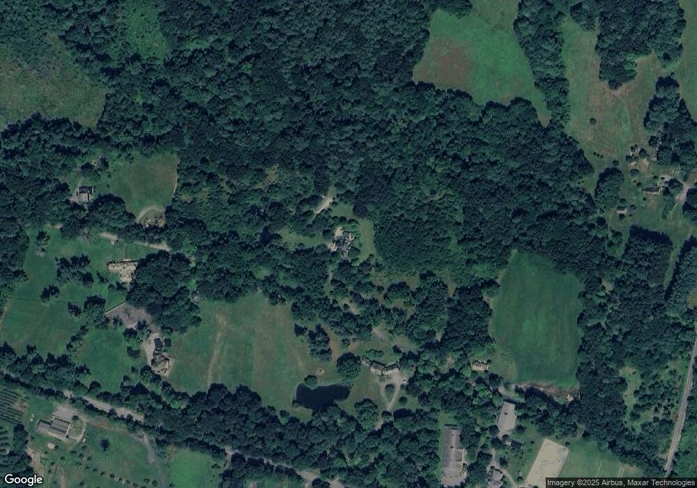
Map
Nearby Homes
- 85 Prescott St
- 23 Bennett Ln
- 29 Bennett Ln
- 92 Mill St
- 1116 George Hill Rd
- 132 Kilbourn Rd
- 136 Mill St
- 0 Parker Rd
- 453 Blue Heron Dr Unit 453
- 0 Brockelman Rd Unit 73424117
- 765 Brockelman Road Lot C
- 0 Main St
- 54 S Meadow Rd
- 144 Seven Bridge Rd
- 63 Settlers Path
- 19 Magnolia Ave
- 290 Sterling St
- 201-203 Stone St
- 201 Stone St Unit 203
- 238 Mill Street Extension
- 405 George Hill Rd
- 210 Bull Hill Rd
- 87 Bull Hill Rd
- 250 Bull Hill Rd
- 495 George Hill Rd
- 325 George Hill Rd
- 412 George Hill Rd
- 263 Bull Hill Rd
- 263 Bull Hill Rd Unit 2
- 434 George Hill Rd
- 450 George Hill Rd
- 388 George Hill Rd
- 10 Highfield Dr
- 8 Highfield Dr
- 12 Highfield Dr
- 318 George Hill Rd
- 6 Highfield Dr
- 14 Highfield Dr
- 16 Highfield Dr
- 304 Bull Hill Rd