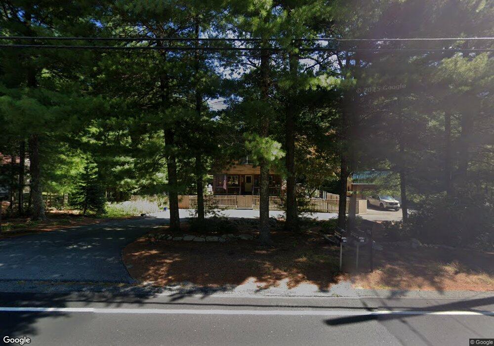
135 Bullock Rd East Freetown, MA 02717
Estimated Value: $527,952 - $662,000
4
Beds
2
Baths
1,575
Sq Ft
$374/Sq Ft
Est. Value
About This Home
This home is located at 135 Bullock Rd, East Freetown, MA 02717 and is currently estimated at $588,988, approximately $373 per square foot. 135 Bullock Rd is a home located in Bristol County with nearby schools including George R Austin Intermediate School, Freetown-Lakeville Middle School, and Apponequet Regional High School.
Ownership History
Date
Name
Owned For
Owner Type
Purchase Details
Closed on
Dec 9, 1974
Bought by
Kuthan Ronald L and Kuthan Janet L
Current Estimated Value
Create a Home Valuation Report for This Property
The Home Valuation Report is an in-depth analysis detailing your home's value as well as a comparison with similar homes in the area
Home Values in the Area
Average Home Value in this Area
Purchase History
| Date | Buyer | Sale Price | Title Company |
|---|---|---|---|
| Kuthan Ronald L | -- | -- |
Source: Public Records
Mortgage History
| Date | Status | Borrower | Loan Amount |
|---|---|---|---|
| Open | Kuthan Ronald L | $100,000 | |
| Closed | Kuthan Ronald L | $80,000 | |
| Closed | Kuthan Ronald L | $70,000 |
Source: Public Records
Tax History Compared to Growth
Tax History
| Year | Tax Paid | Tax Assessment Tax Assessment Total Assessment is a certain percentage of the fair market value that is determined by local assessors to be the total taxable value of land and additions on the property. | Land | Improvement |
|---|---|---|---|---|
| 2025 | $4,339 | $437,800 | $158,900 | $278,900 |
| 2024 | $4,311 | $413,300 | $149,900 | $263,400 |
| 2023 | $4,192 | $391,400 | $135,000 | $256,400 |
| 2022 | $4,029 | $334,100 | $114,300 | $219,800 |
| 2021 | $3,863 | $304,200 | $104,000 | $200,200 |
| 2020 | $3,801 | $291,900 | $100,000 | $191,900 |
| 2019 | $3,620 | $275,300 | $95,200 | $180,100 |
| 2018 | $3,414 | $256,500 | $95,200 | $161,300 |
| 2017 | $3,317 | $249,000 | $95,200 | $153,800 |
| 2016 | $3,193 | $243,900 | $92,500 | $151,400 |
| 2015 | $3,109 | $241,000 | $92,500 | $148,500 |
| 2014 | $3,033 | $240,500 | $90,600 | $149,900 |
Source: Public Records
Map
Nearby Homes
- 144 Chace Rd
- 150 Quanapoag Rd
- Lot 2/3 Quanapoag Rd
- 0 Costa Dr
- 599 Quanapoag Rd
- 195 Slab Bridge Rd
- 264 Collins Corner Rd
- 1475 Braley Rd Unit 17
- 13 Luscomb Ln
- 16 Swallow St
- 4597 Acushnet Ave
- 1069 Cherokee St
- 353 Upland St
- 300 High Hill Rd
- 64 Blaze Rd
- 319 Northwest St
- 210 Heritage Dr
- 34 Poplar Rd
- 145 Heritage Dr
- 111 High St
- 137 Bullock Rd
- 133 Bullock Rd
- 15 Algonquin Way
- 13 Algonquin Way
- 4 Wamsutta Way
- 139 Bullock Rd
- 132 Bullock Rd
- 130 Bullock Rd
- 129 Bullock Rd
- 11 Algonquin Way
- 5 Wamsutta Way
- 128 Bullock Rd
- 152 Chipaway Rd
- 9 Algonquin Way
- 14 Algonquin Way
- 127 Bullock Rd
- 12 Algonquin Way
- 16 Algonquin Way
- 18 Algonquin Way
- 15 Lesley Ln