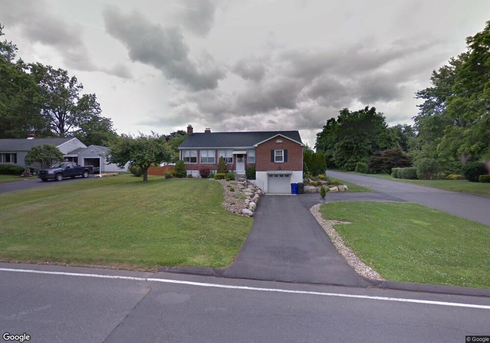
135 Charter Rd Wethersfield, CT 06109
Estimated Value: $385,000 - $419,000
3
Beds
2
Baths
1,464
Sq Ft
$274/Sq Ft
Est. Value
About This Home
This home is located at 135 Charter Rd, Wethersfield, CT 06109 and is currently estimated at $400,924, approximately $273 per square foot. 135 Charter Rd is a home located in Hartford County with nearby schools including Highcrest School, Silas Deane Middle School, and Wethersfield High School.
Ownership History
Date
Name
Owned For
Owner Type
Purchase Details
Closed on
Apr 10, 2018
Sold by
Dicioccio Thomas A and Dicioccio Jane M
Bought by
Dicioccio Thomas A
Current Estimated Value
Purchase Details
Closed on
Oct 6, 1994
Sold by
Dicioccio Rosemary
Bought by
Dicioccio Thomas A
Create a Home Valuation Report for This Property
The Home Valuation Report is an in-depth analysis detailing your home's value as well as a comparison with similar homes in the area
Home Values in the Area
Average Home Value in this Area
Purchase History
| Date | Buyer | Sale Price | Title Company |
|---|---|---|---|
| Dicioccio Thomas A | -- | -- | |
| Dicioccio Thomas A | $130,000 | -- |
Source: Public Records
Mortgage History
| Date | Status | Borrower | Loan Amount |
|---|---|---|---|
| Previous Owner | Dicioccio Thomas A | $68,000 | |
| Previous Owner | Dicioccio Thomas A | $75,000 | |
| Previous Owner | Dicioccio Thomas A | $60,000 |
Source: Public Records
Tax History
| Year | Tax Paid | Tax Assessment Tax Assessment Total Assessment is a certain percentage of the fair market value that is determined by local assessors to be the total taxable value of land and additions on the property. | Land | Improvement |
|---|---|---|---|---|
| 2025 | $10,879 | $263,920 | $89,080 | $174,840 |
| 2024 | $7,159 | $165,630 | $67,200 | $98,430 |
| 2023 | $6,920 | $165,630 | $67,200 | $98,430 |
| 2022 | $6,804 | $165,630 | $67,200 | $98,430 |
| 2021 | $6,736 | $165,630 | $67,200 | $98,430 |
| 2020 | $6,739 | $165,630 | $67,200 | $98,430 |
| 2019 | $6,748 | $165,630 | $67,200 | $98,430 |
| 2018 | $6,884 | $168,800 | $62,200 | $106,600 |
| 2017 | $6,713 | $168,800 | $62,200 | $106,600 |
| 2016 | $6,506 | $168,800 | $62,200 | $106,600 |
| 2015 | $6,446 | $168,800 | $62,200 | $106,600 |
| 2014 | $6,202 | $168,800 | $62,200 | $106,600 |
Source: Public Records
Map
Nearby Homes
- 25 Sutton Rd
- 72 Concord Dr
- 50 Concord Dr Unit 50
- 22 Winesap Cir Unit 22
- 13 Robbins Ln Unit B
- 1610 Silas Deane Hwy
- 38 Wheeler Rd
- 195 Middletown Ave
- 89 Merriman Rd
- 3 Colonial Dr Unit C
- 268 Fox Hill Rd
- 59 Chapin Ave
- 119 Coleman Rd
- 137 Dale Rd
- 455 Brimfield Rd
- 108 Chamberlain Rd
- 186 Hang Dog Ln
- 35 Stillwold Dr
- 2220 Harbor View Dr
- 0 Collier Rd
- 141 Charter Rd
- 131 Charter Rd
- 66 Waters View Dr
- 74 Waters View Dr
- 157 Charter Rd
- 142 Charter Rd
- 123 Charter Rd
- 136 Charter Rd
- 148 Charter Rd
- 80 Waters View Dr
- 130 Charter Rd
- 154 Charter Rd
- 163 Charter Rd
- 115 Charter Rd
- 122 Charter Rd
- 160 Charter Rd
- 86 Waters View Dr
- 67 Waters View Dr
- 75 Waters View Dr
- 39 Davis Rd
Your Personal Tour Guide
Ask me questions while you tour the home.