Estimated Value: $236,205 - $255,000
3
Beds
2
Baths
1,350
Sq Ft
$184/Sq Ft
Est. Value
About This Home
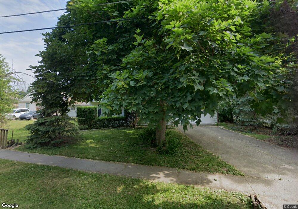
This home is located at 135 Coe St, Berea, OH 44017 and is currently estimated at $248,051, approximately $183 per square foot. 135 Coe St is a home located in Cuyahoga County with nearby schools including Grindstone Elementary School, Berea-Midpark Middle School, and Berea-Midpark High School.
Ownership History
Date
Name
Owned For
Owner Type
Purchase Details
Closed on
Nov 30, 1999
Sold by
Seaton Kira J and Stocker Kira J
Bought by
Stocker Dennis P
Current Estimated Value
Purchase Details
Closed on
Aug 15, 1988
Sold by
Moore Michael J and Moore June
Bought by
Stocker Dennis P
Purchase Details
Closed on
Aug 21, 1986
Sold by
Friedrich Russell A
Bought by
Moore Michael J and Moore June
Purchase Details
Closed on
Aug 30, 1978
Sold by
Kimes Phillip B and Kimes Ethel M
Bought by
Friedrich Russell A
Purchase Details
Closed on
Jan 1, 1975
Bought by
Kimes Phillip B and Kimes Ethel M
Create a Home Valuation Report for This Property
The Home Valuation Report is an in-depth analysis detailing your home's value as well as a comparison with similar homes in the area
Home Values in the Area
Average Home Value in this Area
Purchase History
| Date | Buyer | Sale Price | Title Company |
|---|---|---|---|
| Stocker Dennis P | -- | -- | |
| Stocker Dennis P | $79,500 | -- | |
| Moore Michael J | $67,000 | -- | |
| Friedrich Russell A | $56,000 | -- | |
| Kimes Phillip B | -- | -- |
Source: Public Records
Tax History Compared to Growth
Tax History
| Year | Tax Paid | Tax Assessment Tax Assessment Total Assessment is a certain percentage of the fair market value that is determined by local assessors to be the total taxable value of land and additions on the property. | Land | Improvement |
|---|---|---|---|---|
| 2024 | $4,192 | $72,415 | $10,535 | $61,880 |
| 2023 | $3,901 | $56,490 | $9,590 | $46,900 |
| 2022 | $3,877 | $56,490 | $9,590 | $46,900 |
| 2021 | $3,844 | $56,490 | $9,590 | $46,900 |
| 2020 | $3,673 | $47,880 | $8,120 | $39,760 |
| 2019 | $3,575 | $136,800 | $23,200 | $113,600 |
| 2018 | $3,293 | $47,880 | $8,120 | $39,760 |
| 2017 | $3,255 | $40,680 | $7,670 | $33,010 |
| 2016 | $3,231 | $40,680 | $7,670 | $33,010 |
| 2015 | $3,178 | $40,680 | $7,670 | $33,010 |
| 2014 | $3,178 | $42,350 | $7,980 | $34,370 |
Source: Public Records
Map
Nearby Homes