Estimated Value: $841,000 - $1,105,000
2
Beds
4
Baths
1,948
Sq Ft
$490/Sq Ft
Est. Value
About This Home
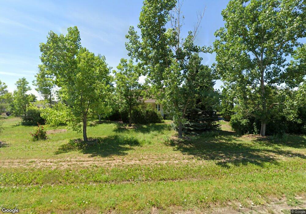
This home is located at 135 Commander Dr, Erie, CO 80516 and is currently estimated at $955,189, approximately $490 per square foot. 135 Commander Dr is a home located in Weld County with nearby schools including Black Rock Elementary School, Erie Middle School, and Erie High School.
Ownership History
Date
Name
Owned For
Owner Type
Purchase Details
Closed on
Oct 10, 1996
Sold by
Miller Thomas A and Miller Linda M
Bought by
Lasnik Edward A and Lasnik Judy P
Current Estimated Value
Home Financials for this Owner
Home Financials are based on the most recent Mortgage that was taken out on this home.
Original Mortgage
$44,000
Interest Rate
8.33%
Purchase Details
Closed on
Jun 10, 1985
Create a Home Valuation Report for This Property
The Home Valuation Report is an in-depth analysis detailing your home's value as well as a comparison with similar homes in the area
Home Values in the Area
Average Home Value in this Area
Purchase History
| Date | Buyer | Sale Price | Title Company |
|---|---|---|---|
| Lasnik Edward A | $55,500 | -- | |
| -- | -- | -- | |
| Miller Thomas A | $33,000 | -- |
Source: Public Records
Mortgage History
| Date | Status | Borrower | Loan Amount |
|---|---|---|---|
| Closed | Lasnik Edward A | $44,000 |
Source: Public Records
Tax History Compared to Growth
Tax History
| Year | Tax Paid | Tax Assessment Tax Assessment Total Assessment is a certain percentage of the fair market value that is determined by local assessors to be the total taxable value of land and additions on the property. | Land | Improvement |
|---|---|---|---|---|
| 2025 | $4,939 | $56,930 | $19,060 | $37,870 |
| 2024 | $4,939 | $56,930 | $19,060 | $37,870 |
| 2023 | $4,762 | $57,120 | $20,630 | $36,490 |
| 2022 | $3,894 | $43,090 | $15,850 | $27,240 |
| 2021 | $3,977 | $44,330 | $16,300 | $28,030 |
| 2020 | $3,206 | $37,340 | $14,300 | $23,040 |
| 2019 | $3,236 | $37,340 | $14,300 | $23,040 |
| 2018 | $2,933 | $34,610 | $8,640 | $25,970 |
| 2017 | $2,851 | $34,610 | $8,640 | $25,970 |
| 2016 | $2,493 | $31,620 | $9,550 | $22,070 |
| 2015 | $2,418 | $31,620 | $9,550 | $22,070 |
| 2014 | $1,747 | $16,990 | $6,500 | $10,490 |
Source: Public Records
Map
Nearby Homes
- 147 Commander Dr
- 190 Cessna Dr
- 290 Commander Dr
- 919 Taylor Ln
- 1055 Greens Place
- 1055 Greens Place Unit 30
- 2131 Driver Ln
- 561 Piper Dr
- 2321 Links Place
- 2299 Links Place
- 540 Grenville Cir
- 1214 Hickory Way
- 1348 Lawson Ave
- 599 Greenville Alley
- 1287 Serene Dr
- 702 Drake Ave
- 700 Lillibrook Place
- 1595 Quest Alley
- 1849 Marquette Dr
- 2476 Vale Way
- 153 Commander Cir
- 155 Commander Dr
- 0 Commander Unit 9172099
- 0 Commander Cir
- 0 Commander Unit 689508
- 155 Commander Dr
- 125 Commander Dr
- 175 Commander Dr
- 125 Beech Ct
- 195 Commander Dr
- 307 Commander Cir
- 123 Commander
- 2445 Bellanca Ct
- 115 Beech Ct
- 145 Beech Ct
- 196 Commander Cir
- 131 Commander Cir
- 2420 Bellanca Ct
- 215 Commander Cir
- 141 Beech Ct