135 Container Rd Samson, AL 36477
Estimated Value: $125,131 - $238,000
Studio
--
Bath
1,568
Sq Ft
$113/Sq Ft
Est. Value
About This Home
This home is located at 135 Container Rd, Samson, AL 36477 and is currently estimated at $177,783, approximately $113 per square foot. 135 Container Rd is a home.
Ownership History
Date
Name
Owned For
Owner Type
Purchase Details
Closed on
Oct 29, 2020
Sold by
Goodwin Hubert Ray and Conry Donna J
Bought by
Mckenzie James W and Mckenzie Anne R
Current Estimated Value
Purchase Details
Closed on
Oct 14, 2020
Sold by
Goodwin Hubert Ray
Bought by
Goodwin Hubert Ray and Conry Donna J
Create a Home Valuation Report for This Property
The Home Valuation Report is an in-depth analysis detailing your home's value as well as a comparison with similar homes in the area
Purchase History
| Date | Buyer | Sale Price | Title Company |
|---|---|---|---|
| Mckenzie James W | $2,000 | None Available | |
| Goodwin Hubert Ray | -- | None Available |
Source: Public Records
Tax History
| Year | Tax Paid | Tax Assessment Tax Assessment Total Assessment is a certain percentage of the fair market value that is determined by local assessors to be the total taxable value of land and additions on the property. | Land | Improvement |
|---|---|---|---|---|
| 2024 | $313 | $11,480 | $2,020 | $9,460 |
| 2023 | $313 | $9,520 | $1,720 | $7,800 |
| 2022 | $247 | $9,400 | $1,680 | $7,720 |
| 2021 | $0 | $9,100 | $1,940 | $7,160 |
| 2020 | $190 | $8,220 | $1,760 | $6,460 |
| 2019 | $190 | $7,640 | $1,560 | $6,080 |
| 2018 | $180 | $7,320 | $1,520 | $5,800 |
| 2017 | $205 | $8,120 | $1,520 | $6,600 |
| 2016 | $205 | $8,120 | $1,520 | $6,600 |
| 2015 | $210 | $8,260 | $1,580 | $6,680 |
| 2014 | $200 | $7,960 | $1,520 | $6,440 |
| 2013 | $200 | $7,960 | $1,520 | $6,440 |
Source: Public Records
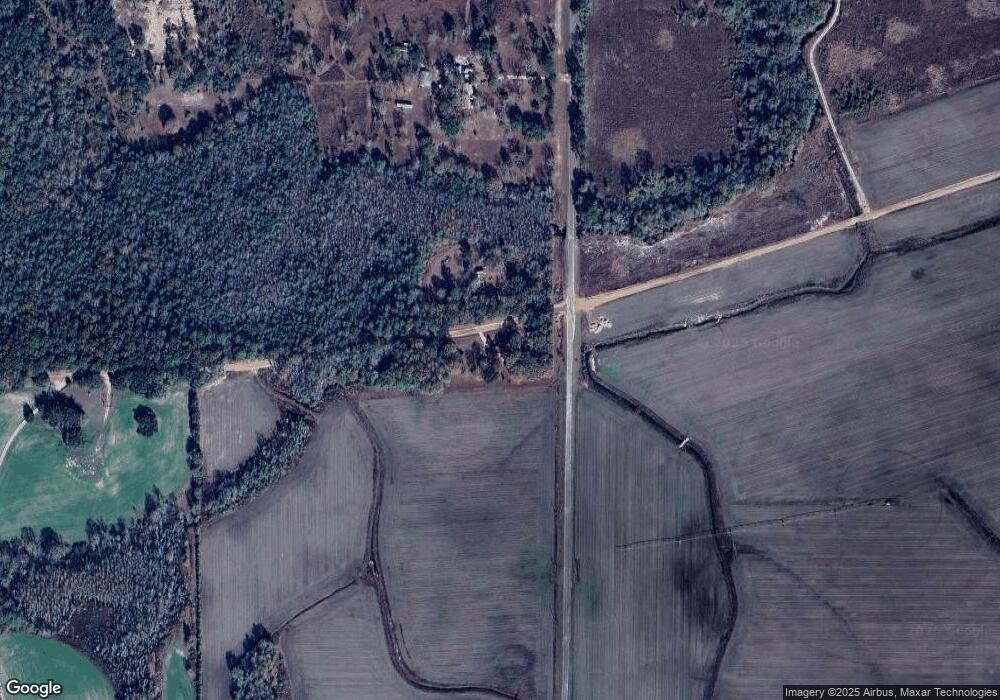
Map
Nearby Homes
- 0 Cuthriell Rd
- 0 Co Rd 10
- Tract#6201 Doyle Morgan Rd
- 7257 State Highway 153
- 0 Circle R Farm Dr Unit 387121
- 0 Circle R Farm Dr Unit 7428123
- 239 Aubie Rd
- 4857 W County Hwy 181
- 5343 Al-153
- 138 Schofield Rd
- 0 W Co Highway 181 Unit 994743
- 1116 Alabama 153
- 686 Alford Rd
- Parcel B Adams Dr
- 11 Sandy Ramp Rd
- 601 Oak Grove Rd
- 16268 W State Highway 52
- 258 Briar Rd
- 725 Dock Wilson Rd
- M-8 Acres S St Hwy 87
Your Personal Tour Guide
Ask me questions while you tour the home.