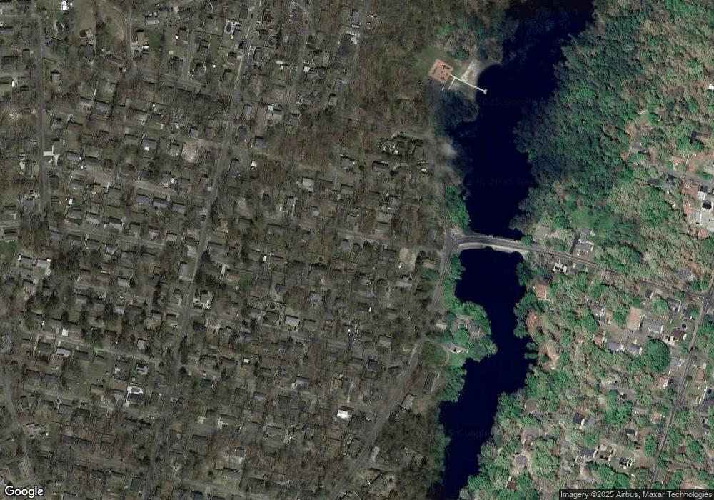
135 Daniels Ave Browns Mills, NJ 08015
Estimated Value: $182,000 - $309,000
3
Beds
1
Bath
957
Sq Ft
$267/Sq Ft
Est. Value
About This Home
This home is located at 135 Daniels Ave, Browns Mills, NJ 08015 and is currently estimated at $255,595, approximately $267 per square foot. 135 Daniels Ave is a home located in Burlington County.
Ownership History
Date
Name
Owned For
Owner Type
Purchase Details
Closed on
Jul 21, 2009
Sold by
Deutsche Bank National Trust Company
Bought by
Ayers Jeffrey
Current Estimated Value
Purchase Details
Closed on
Nov 24, 2008
Sold by
Harper Esther R and Dudley Robin J
Bought by
Deutsche Bank National Trust Company
Purchase Details
Closed on
Jul 30, 2002
Sold by
Burkhart Gerald K and Burkhart Patricia A
Bought by
Dudley Robin J and Harper Esther R
Home Financials for this Owner
Home Financials are based on the most recent Mortgage that was taken out on this home.
Original Mortgage
$66,939
Interest Rate
6.61%
Mortgage Type
FHA
Create a Home Valuation Report for This Property
The Home Valuation Report is an in-depth analysis detailing your home's value as well as a comparison with similar homes in the area
Home Values in the Area
Average Home Value in this Area
Purchase History
| Date | Buyer | Sale Price | Title Company |
|---|---|---|---|
| Ayers Jeffrey | $50,151 | Coastal Title Agency Inc | |
| Deutsche Bank National Trust Company | -- | None Available | |
| Dudley Robin J | $68,000 | Congress Title Corp |
Source: Public Records
Mortgage History
| Date | Status | Borrower | Loan Amount |
|---|---|---|---|
| Previous Owner | Dudley Robin J | $66,939 |
Source: Public Records
Tax History Compared to Growth
Tax History
| Year | Tax Paid | Tax Assessment Tax Assessment Total Assessment is a certain percentage of the fair market value that is determined by local assessors to be the total taxable value of land and additions on the property. | Land | Improvement |
|---|---|---|---|---|
| 2025 | $3,322 | $108,400 | $38,000 | $70,400 |
| 2024 | $3,118 | $108,400 | $38,000 | $70,400 |
| 2023 | $3,118 | $108,400 | $38,000 | $70,400 |
| 2022 | $2,886 | $108,400 | $38,000 | $70,400 |
| 2021 | $2,767 | $108,400 | $38,000 | $70,400 |
| 2020 | $2,663 | $108,400 | $38,000 | $70,400 |
| 2019 | $2,551 | $108,400 | $38,000 | $70,400 |
| 2018 | $2,464 | $108,400 | $38,000 | $70,400 |
| 2017 | $2,413 | $108,400 | $38,000 | $70,400 |
| 2016 | $2,620 | $70,100 | $19,600 | $50,500 |
| 2015 | $2,599 | $70,100 | $19,600 | $50,500 |
| 2014 | $2,485 | $70,100 | $19,600 | $50,500 |
Source: Public Records
Map
Nearby Homes
- 11 Pardee Blvd
- 242 Phillips Ave
- 128 Auburn Ave
- 120 Auburn Ave
- 163 Garden Ave
- 218 Auburn Ave
- 302 Lakeview Blvd
- 336 Pardee Blvd
- 152 Blanche St
- 120 Snow Ave
- 30 Apple Ave
- 200 Rugby St
- 11 Clover St
- 402 W Lakeshore Dr
- 34 Olive St
- 1030 Hanover Blvd
- 120 Salvia St
- 301 W Lakeshore Dr
- 311 Sumach St
- 330 Woodbine St
- 141 Daniels Ave
- 134 Pardee Blvd
- 140 Pardee Blvd
- 123 Daniels Ave
- 128 Pardee Blvd
- 136 Daniels Ave
- 122 Daniels Ave
- 118 Pardee Blvd
- 154 Daniels Ave
- 127 Curtain Ave
- 155 Daniels Ave
- 123 Curtain Ave
- 139 Curtain Ave
- 112 Daniels Ave
- 143 Pardee Blvd
- 164 Pardee Blvd
- 110 Pardee Blvd
- 111 Curtain Ave
- 160 Daniels Ave
- 115 Pardee Blvd
