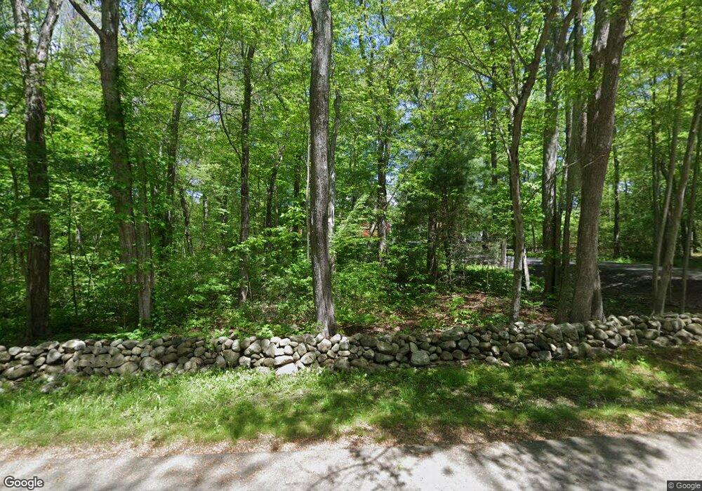
135 Darby Rd North Scituate, RI 02857
Estimated Value: $640,706 - $917,000
3
Beds
4
Baths
1,864
Sq Ft
$398/Sq Ft
Est. Value
About This Home
This home is located at 135 Darby Rd, North Scituate, RI 02857 and is currently estimated at $742,177, approximately $398 per square foot. 135 Darby Rd is a home located in Providence County with nearby schools including North Scituate School, Scituate Middle School, and Scituate High School.
Ownership History
Date
Name
Owned For
Owner Type
Purchase Details
Closed on
Apr 23, 2010
Sold by
Southworth Deborah A
Bought by
Soares Joseph P and Soares Valerie L
Current Estimated Value
Purchase Details
Closed on
Feb 4, 1992
Sold by
Long Timothy D
Bought by
Southworth James L
Create a Home Valuation Report for This Property
The Home Valuation Report is an in-depth analysis detailing your home's value as well as a comparison with similar homes in the area
Home Values in the Area
Average Home Value in this Area
Purchase History
| Date | Buyer | Sale Price | Title Company |
|---|---|---|---|
| Soares Joseph P | $356,000 | -- | |
| Southworth James L | $200,000 | -- |
Source: Public Records
Mortgage History
| Date | Status | Borrower | Loan Amount |
|---|---|---|---|
| Open | Southworth James L | $335,700 | |
| Closed | Southworth James L | $336,680 | |
| Closed | Southworth James L | $338,125 |
Source: Public Records
Tax History Compared to Growth
Tax History
| Year | Tax Paid | Tax Assessment Tax Assessment Total Assessment is a certain percentage of the fair market value that is determined by local assessors to be the total taxable value of land and additions on the property. | Land | Improvement |
|---|---|---|---|---|
| 2025 | $7,400 | $427,000 | $124,200 | $302,800 |
| 2024 | $7,400 | $427,000 | $124,200 | $302,800 |
| 2023 | $7,157 | $427,000 | $124,200 | $302,800 |
| 2022 | $6,994 | $427,000 | $124,200 | $302,800 |
| 2021 | $7,012 | $375,200 | $113,100 | $262,100 |
| 2020 | $6,855 | $375,200 | $113,100 | $262,100 |
| 2019 | $6,712 | $375,200 | $113,100 | $262,100 |
| 2018 | $6,119 | $315,600 | $100,200 | $215,400 |
| 2017 | $5,940 | $315,600 | $100,200 | $215,400 |
| 2016 | $5,693 | $315,600 | $100,200 | $215,400 |
| 2015 | $5,637 | $294,200 | $90,200 | $204,000 |
| 2014 | $5,584 | $294,200 | $90,200 | $204,000 |
Source: Public Records
Map
Nearby Homes
- 109 Gentry Way
- 737 Danielson Pike
- 255 Rockland Rd
- 785 Danielson Pike
- 20 Gleaner Chapel Rd
- 0 Dexter Rd
- 226 Westcott Rd
- 584 Hartford Pike
- 15 Davis Rd
- 30 Ashland Rd
- 1101 Danielson Pike
- 261 Quaker Ln
- 0 Quaker Ln
- 34 Highland Terrace
- 399 Bungy Rd
- 58 Highland Terrace
- 955 Chopmist Hill Rd
- 0 Danielson Pike Unit 1347736
- 1224 Hartford Pike
- 1240 Hartford Pike