135 Divide Dr Snowmass Village, CO 81615
Estimated Value: $8,695,000 - $13,760,692
4
Beds
5
Baths
5,919
Sq Ft
$1,897/Sq Ft
Est. Value
About This Home
This home is located at 135 Divide Dr, Snowmass Village, CO 81615 and is currently estimated at $11,227,846, approximately $1,896 per square foot. 135 Divide Dr is a home with nearby schools including Aspen Elementary School, Aspen Middle School, and Aspen High School.
Ownership History
Date
Name
Owned For
Owner Type
Purchase Details
Closed on
Sep 29, 2023
Sold by
Virgil S Simon Family Gifting Trust
Bought by
White Miles D and Jonaus Laura J
Current Estimated Value
Purchase Details
Closed on
Feb 24, 2022
Sold by
Joan M Simon Revocable Trust
Bought by
Simon Virgil S
Purchase Details
Closed on
Feb 16, 2022
Sold by
Simon Virgil S
Bought by
Simon Virgil S and Simon Virgil S Family Trust
Purchase Details
Closed on
Oct 22, 2021
Sold by
Simon Virgil S
Bought by
Simon Virgil S Trust
Purchase Details
Closed on
Mar 13, 2018
Sold by
Simon Virgil S and The Virgil S Simon Revocable T
Bought by
The Joan M Simon Revocable Trust
Purchase Details
Closed on
May 12, 1997
Bought by
Simon Virgil S Rev Trst
Create a Home Valuation Report for This Property
The Home Valuation Report is an in-depth analysis detailing your home's value as well as a comparison with similar homes in the area
Home Values in the Area
Average Home Value in this Area
Purchase History
| Date | Buyer | Sale Price | Title Company |
|---|---|---|---|
| White Miles D | $10,500,000 | Land Title Guarantee | |
| Simon Virgil S | -- | None Listed On Document | |
| Simon Virgil S | -- | None Listed On Document | |
| Simon Virgil S Trust | -- | None Listed On Document | |
| Simon Virgil S | -- | None Listed On Document | |
| The Joan M Simon Revocable Trust | -- | None Available | |
| Simon Virgil S Rev Trst | -- | -- |
Source: Public Records
Tax History Compared to Growth
Tax History
| Year | Tax Paid | Tax Assessment Tax Assessment Total Assessment is a certain percentage of the fair market value that is determined by local assessors to be the total taxable value of land and additions on the property. | Land | Improvement |
|---|---|---|---|---|
| 2024 | $36,841 | $820,420 | $314,830 | $505,590 |
| 2023 | $36,841 | $855,540 | $318,930 | $536,610 |
| 2022 | $23,811 | $474,630 | $208,500 | $266,130 |
| 2021 | $24,210 | $488,290 | $214,500 | $273,790 |
| 2020 | $22,588 | $444,830 | $214,500 | $230,330 |
| 2019 | $22,225 | $444,830 | $214,500 | $230,330 |
| 2018 | $25,212 | $447,940 | $216,000 | $231,940 |
| 2017 | $24,036 | $493,010 | $230,400 | $262,610 |
| 2016 | $21,482 | $443,320 | $214,920 | $228,400 |
| 2015 | $19,263 | $443,320 | $214,920 | $228,400 |
| 2014 | $16,780 | $383,450 | $222,880 | $160,570 |
Source: Public Records
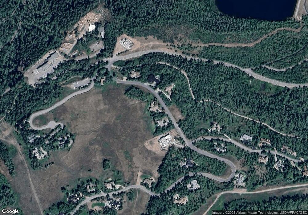
Map
Nearby Homes
- 855 Carriage Way Unit Trails 103
- 855 Carriage Way Unit Summit 202
- 690 Carriage Way Unit B2G
- 660 Brush Creek Rd
- 473 Creek Ln
- 600 Carriage Way Unit K9&10
- 600 Carriage Way Unit Ka
- TBD Daly Ln
- 35 Campground Ln Unit E-4
- 65 Campground Ln Unit 94
- 61 Trails End Ln Unit 2
- 105 Campground Ln Unit 502
- 300 Carriage Way Unit 623
- 300 Carriage Way Unit 303
- 300 Carriage Way Unit 506
- 198 Edgewood Ln
- 411 Wood Rd Unit 10
- 411 Wood Rd Unit 8
- 425 Wood Rd Unit 19
- 425 Wood Rd Unit 10