Estimated Value: $438,000 - $743,000
1
Bed
3
Baths
1,272
Sq Ft
$438/Sq Ft
Est. Value
About This Home
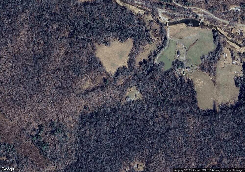
This home is located at 135 Doe Fork Ln Unit 147, Boone, NC 28607 and is currently estimated at $557,453, approximately $438 per square foot. 135 Doe Fork Ln Unit 147 is a home located in Watauga County with nearby schools including Green Valley Elementary School, Watauga High School, and Mountain Pathways School.
Ownership History
Date
Name
Owned For
Owner Type
Purchase Details
Closed on
May 31, 2023
Sold by
Miller Edmond C and Miller Rebecca B
Bought by
Grandview Mountain Properties Llc
Current Estimated Value
Purchase Details
Closed on
Nov 26, 2013
Sold by
Richardson Larry M and Richardson Barbara C
Bought by
Miller Edmond C and Miller Rebecca B
Home Financials for this Owner
Home Financials are based on the most recent Mortgage that was taken out on this home.
Original Mortgage
$179,025
Interest Rate
4.13%
Mortgage Type
New Conventional
Create a Home Valuation Report for This Property
The Home Valuation Report is an in-depth analysis detailing your home's value as well as a comparison with similar homes in the area
Home Values in the Area
Average Home Value in this Area
Purchase History
| Date | Buyer | Sale Price | Title Company |
|---|---|---|---|
| Grandview Mountain Properties Llc | -- | None Listed On Document | |
| Miller Edmond C | $239,000 | None Available |
Source: Public Records
Mortgage History
| Date | Status | Borrower | Loan Amount |
|---|---|---|---|
| Previous Owner | Miller Edmond C | $179,025 |
Source: Public Records
Tax History Compared to Growth
Tax History
| Year | Tax Paid | Tax Assessment Tax Assessment Total Assessment is a certain percentage of the fair market value that is determined by local assessors to be the total taxable value of land and additions on the property. | Land | Improvement |
|---|---|---|---|---|
| 2024 | $1,756 | $421,400 | $37,800 | $383,600 |
| 2023 | $1,711 | $421,400 | $37,800 | $383,600 |
| 2022 | $1,711 | $421,400 | $37,800 | $383,600 |
| 2021 | $1,187 | $226,600 | $26,100 | $200,500 |
| 2020 | $1,187 | $226,600 | $26,100 | $200,500 |
| 2019 | $1,187 | $226,600 | $26,100 | $200,500 |
| 2018 | $1,073 | $226,600 | $26,100 | $200,500 |
| 2017 | $1,073 | $226,600 | $26,100 | $200,500 |
| 2013 | -- | $216,100 | $19,000 | $197,100 |
Source: Public Records
Map
Nearby Homes
- Lot 10 Poplar Forest Dr
- Lot 22 Fernwood Trail
- TBD Red Fox Ridge
- TBD Red Fox Ridge Unit 5
- 3.59 acres the Mulberry Cove Rd
- 0 Poplar Forest Lot 40 Dr
- 304 the Mulberry Cove Rd
- 335 the Mulberry Cove Rd
- TBD Millers Pond Ln
- TBD (Lot 69) Poplar Forest Dr
- TBD (Lot 9) Poplar Forest Dr
- 298 Patricelli Dr
- #62 Poplar Forest Dr
- Lot 25 Poplar Forest Dr
- Lot 24 Poplar Forest Dr
- Lot 42 Poplar Forest Dr
- Lot 53 Poplar Forest Dr
- 27 Poplar Forest Dr
- Lot 38 Poplar Forest Dr
- Lot 65 Poplar Forest Dr
- 299 Joe J Miller Rd
- 166 Joe J Miller Rd
- 165 Joe J Miller Rd
- 239 Joe J Miller Rd
- 1266 Howards Creek Rd
- 214 Hardy Dr
- 176 Hardy Dr
- 1633 Howards Creek Rd
- 1633 Howards Creek Rd
- 401 Cherry Hill Dr
- 485 Coy Miller Rd
- 1659 Howards Creek Rd
- 1657 Howards Creek Rd
- 200 Moss Hill Rd Unit 230
- TBD (Lot 15) Poplar Forest Dr
- 1670 Howards Creek Rd
- 246 Moss Hill Rd
- 1276 Rainbow Trail
- 1314 Howards Creek Rd
- 1278 Rainbow Trail
