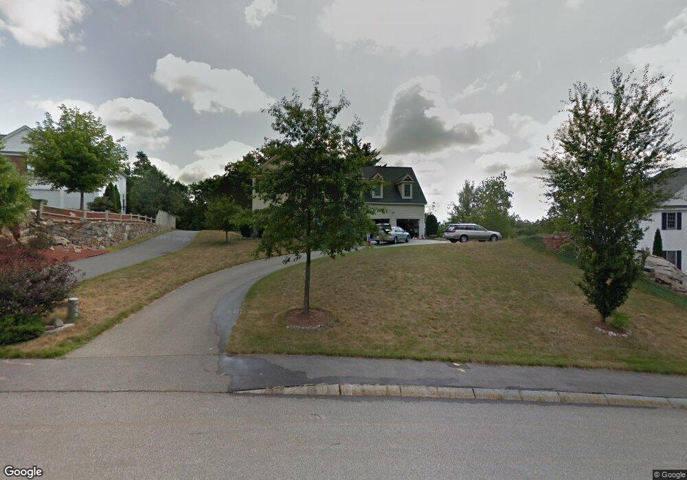
135 Ewald Ave Marlborough, MA 01752
Estimated Value: $900,222 - $960,000
4
Beds
3
Baths
2,778
Sq Ft
$335/Sq Ft
Est. Value
About This Home
This home is located at 135 Ewald Ave, Marlborough, MA 01752 and is currently estimated at $930,056, approximately $334 per square foot. 135 Ewald Ave is a home located in Middlesex County with nearby schools including Marlborough High School, New Covenant Christian School, and Glenhaven Academy - JRI School.
Ownership History
Date
Name
Owned For
Owner Type
Purchase Details
Closed on
Feb 25, 2004
Sold by
Parkinson Bard K and Parkinson Tiffany
Bought by
Kurland Amy Swift and Kurland Todd M
Current Estimated Value
Home Financials for this Owner
Home Financials are based on the most recent Mortgage that was taken out on this home.
Original Mortgage
$396,800
Interest Rate
5.65%
Mortgage Type
Purchase Money Mortgage
Purchase Details
Closed on
Jul 31, 2001
Sold by
Forest Grove Rt and Terrill Richard E
Bought by
Parkinson Bard K and Parkinson Tiffany
Home Financials for this Owner
Home Financials are based on the most recent Mortgage that was taken out on this home.
Original Mortgage
$357,822
Interest Rate
7.18%
Mortgage Type
Purchase Money Mortgage
Create a Home Valuation Report for This Property
The Home Valuation Report is an in-depth analysis detailing your home's value as well as a comparison with similar homes in the area
Home Values in the Area
Average Home Value in this Area
Purchase History
| Date | Buyer | Sale Price | Title Company |
|---|---|---|---|
| Kurland Amy Swift | $496,000 | -- | |
| Parkinson Bard K | $447,277 | -- |
Source: Public Records
Mortgage History
| Date | Status | Borrower | Loan Amount |
|---|---|---|---|
| Open | Parkinson Bard K | $250,000 | |
| Closed | Parkinson Bard K | $272,000 | |
| Closed | Parkinson Bard K | $274,000 | |
| Closed | Kurland Amy Swift | $396,800 | |
| Previous Owner | Parkinson Bard K | $357,822 |
Source: Public Records
Tax History Compared to Growth
Tax History
| Year | Tax Paid | Tax Assessment Tax Assessment Total Assessment is a certain percentage of the fair market value that is determined by local assessors to be the total taxable value of land and additions on the property. | Land | Improvement |
|---|---|---|---|---|
| 2025 | $8,609 | $873,100 | $254,500 | $618,600 |
| 2024 | $8,259 | $806,500 | $231,300 | $575,200 |
| 2023 | $8,462 | $733,300 | $191,900 | $541,400 |
| 2022 | $8,148 | $621,000 | $182,700 | $438,300 |
| 2021 | $8,021 | $581,200 | $155,100 | $426,100 |
| 2020 | $7,803 | $550,300 | $142,400 | $407,900 |
| 2019 | $7,533 | $535,400 | $139,600 | $395,800 |
| 2018 | $0 | $509,600 | $117,600 | $392,000 |
| 2017 | $7,288 | $475,700 | $115,300 | $360,400 |
| 2016 | $6,914 | $450,700 | $115,300 | $335,400 |
| 2015 | $6,947 | $440,800 | $108,500 | $332,300 |
Source: Public Records
Map
Nearby Homes
- 109 Westminster Dr Unit 109
- 114 Linda Cir
- 608 Boston Post Rd E Unit 11
- 624 Boston Post Rd E Unit 7
- 596 Boston Post Rd E
- 596 Boston Post Rd E Unit 13
- 688 Boston Post Rd E Unit 202
- 688 Boston Post Rd E Unit 100
- 688 Boston Post Rd E Unit 304
- 688 Boston Post Rd E Unit 324
- 688 Boston Post Rd E Unit 228
- 23 Victoria Ln
- 271 Boston Post Rd E Unit 4
- 10 Eldorado Dr
- 32 Ethel
- 3 Garabed Blvd
- 13 Vals Ln
- 16 Holly Hill Ln
- 53 Wagon Hill Rd
- 20 Virginia Ave