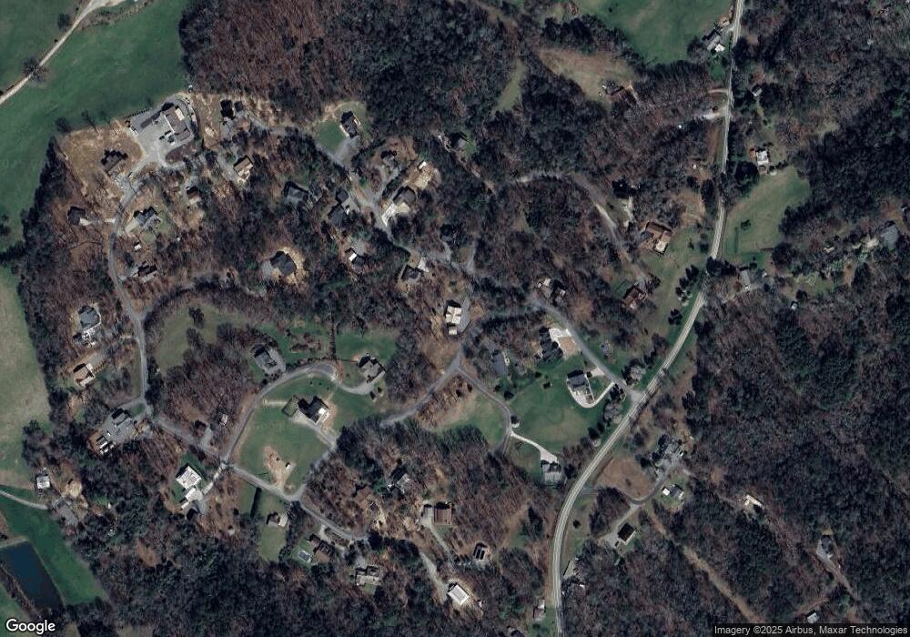
135 Farmer Cir Unit 20 Mineral Bluff, GA 30559
Estimated Value: $677,000 - $980,000
5
Beds
5
Baths
4,052
Sq Ft
$199/Sq Ft
Est. Value
About This Home
This home is located at 135 Farmer Cir Unit 20, Mineral Bluff, GA 30559 and is currently estimated at $807,992, approximately $199 per square foot. 135 Farmer Cir Unit 20 is a home located in Fannin County with nearby schools including Fannin County High School.
Ownership History
Date
Name
Owned For
Owner Type
Purchase Details
Closed on
Dec 7, 2017
Sold by
Davis Thomas E
Bought by
Goldhagen Harold B and Goldhagen Betty B
Current Estimated Value
Purchase Details
Closed on
Mar 30, 2016
Sold by
Hendrix Glennon L
Bought by
Davis Thomas E and Davis Karen E
Home Financials for this Owner
Home Financials are based on the most recent Mortgage that was taken out on this home.
Original Mortgage
$300,000
Interest Rate
3.64%
Mortgage Type
VA
Purchase Details
Closed on
Jun 25, 2014
Sold by
Wilson Jody C
Bought by
Hendrix Glennon L and Hendrix Patricia L
Home Financials for this Owner
Home Financials are based on the most recent Mortgage that was taken out on this home.
Original Mortgage
$10,000
Interest Rate
4.17%
Mortgage Type
New Conventional
Purchase Details
Closed on
Jun 19, 2014
Sold by
Raper Katherine D
Bought by
Wilson Jody C
Home Financials for this Owner
Home Financials are based on the most recent Mortgage that was taken out on this home.
Original Mortgage
$10,000
Interest Rate
4.17%
Mortgage Type
New Conventional
Create a Home Valuation Report for This Property
The Home Valuation Report is an in-depth analysis detailing your home's value as well as a comparison with similar homes in the area
Home Values in the Area
Average Home Value in this Area
Purchase History
| Date | Buyer | Sale Price | Title Company |
|---|---|---|---|
| Goldhagen Harold B | $346,000 | -- | |
| Davis Thomas E | $333,500 | -- | |
| Hendrix Glennon L | $10,000 | -- | |
| Wilson Jody C | -- | -- |
Source: Public Records
Mortgage History
| Date | Status | Borrower | Loan Amount |
|---|---|---|---|
| Previous Owner | Davis Thomas E | $300,000 | |
| Previous Owner | Hendrix Glennon L | $10,000 |
Source: Public Records
Tax History Compared to Growth
Tax History
| Year | Tax Paid | Tax Assessment Tax Assessment Total Assessment is a certain percentage of the fair market value that is determined by local assessors to be the total taxable value of land and additions on the property. | Land | Improvement |
|---|---|---|---|---|
| 2024 | $1,046 | $232,437 | $9,440 | $222,997 |
| 2023 | $983 | $190,360 | $9,440 | $180,920 |
| 2022 | $1,169 | $192,458 | $9,440 | $183,018 |
| 2021 | $1,627 | $195,088 | $9,100 | $185,988 |
| 2020 | $1,652 | $155,426 | $9,100 | $146,326 |
| 2019 | $1,685 | $154,326 | $8,000 | $146,326 |
| 2018 | $1,779 | $145,882 | $7,200 | $138,682 |
| 2017 | $2,561 | $144,716 | $7,200 | $137,516 |
| 2016 | $1,716 | $123,986 | $4,000 | $119,986 |
| 2015 | $81 | $4,588 | $4,000 | $588 |
| 2014 | $68 | $3,840 | $3,840 | $0 |
| 2013 | -- | $3,840 | $3,840 | $0 |
Source: Public Records
Map
Nearby Homes
- 201 Parker Ridge
- 198 Pine Knot Ln
- 380 Hardscrabble Rd
- 7117 Mineral Bluff Hwy
- 6 Pontoosuc Dr
- 789 Old Pond Mill Rd
- 0.0 Murphy Hwy
- LOT 41 Ridgeline Ln
- 6874 Murphy Hwy
- Lot 44 Ridgeline Ln
- NA Piney Rd
- 2682 Douthit Rd
- 1164 Dividing Ridge Rd
- 653 The Woods Rd
- 0 Mountain Laurel Ridge Unit 23906395
- 295 Mountain Laurel Ridge
- 866 Mountain Laurel Ridge
- 0 Piney Rd Unit 10395324
- 658 Highland Gap
- 135 Farmer Cir
- 177 Farmer Cir
- 862 Farmer Cir
- 22 Farmer Cir
- 22 Farmer Cir Unit 22
- LOT18 Farmer Cir
- 98 Farmer Cir
- 211 Farmer Cir
- 211 Farmer Cir Unit 22
- 211 Farmer Cir
- 33 Farmer Cir
- 35 Farmer Cir
- 59 Farmer Cir
- 38 Farmer Cir
- 212 Farmer Cir
- 43 Gibbs Mountain View
- 27 Farmer Cir
- 27 Farmers Cir
- 118 Mystic Place
- 231 Farmer Cir
