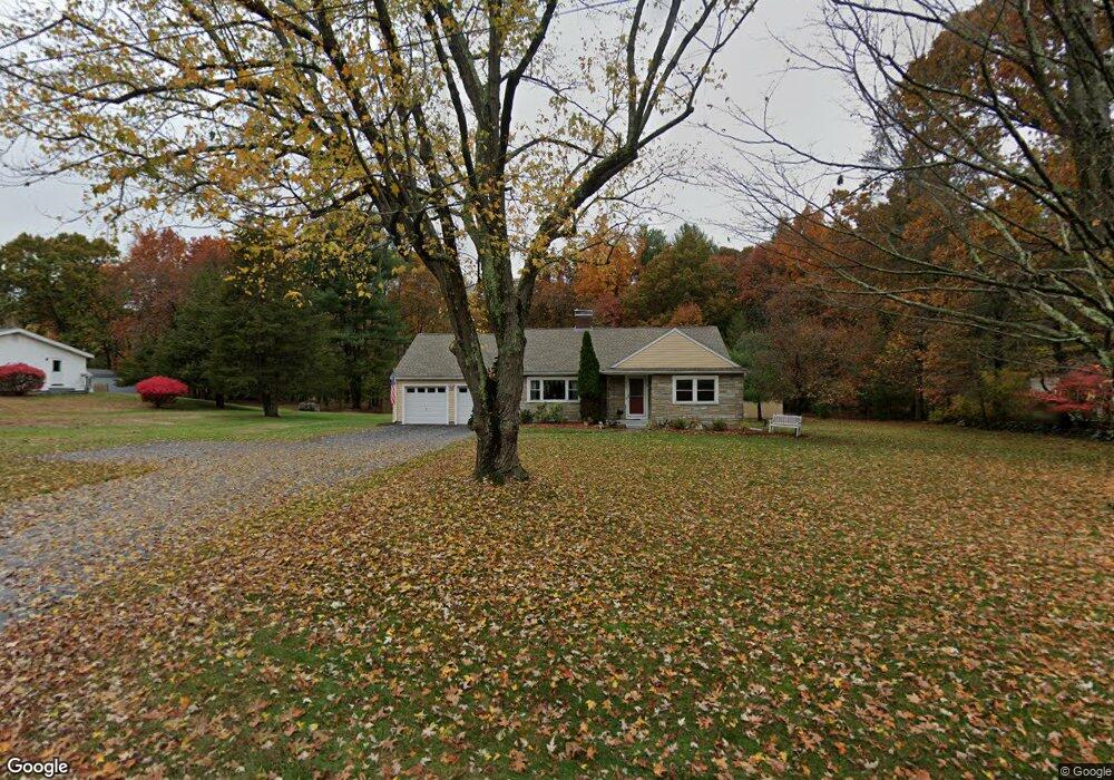
135 Flagg Hill Rd Unit 135 Boxborough, MA 01719
Estimated Value: $665,151 - $725,000
2
Beds
1
Bath
1,362
Sq Ft
$510/Sq Ft
Est. Value
About This Home
This home is located at 135 Flagg Hill Rd Unit 135, Boxborough, MA 01719 and is currently estimated at $694,788, approximately $510 per square foot. 135 Flagg Hill Rd Unit 135 is a home located in Middlesex County with nearby schools including Acton-Boxborough Regional High School.
Ownership History
Date
Name
Owned For
Owner Type
Purchase Details
Closed on
Dec 7, 2015
Sold by
Landry Leo P and Landry Carol J
Bought by
Landry Leo P and Landry Carol J
Current Estimated Value
Purchase Details
Closed on
Nov 4, 2014
Sold by
Int Elisabeth K Reid
Bought by
Landry Leo P and Landry Carol J
Home Financials for this Owner
Home Financials are based on the most recent Mortgage that was taken out on this home.
Original Mortgage
$40,000
Interest Rate
4.21%
Mortgage Type
New Conventional
Purchase Details
Closed on
Sep 10, 2012
Sold by
Reid Malcolm P and Reid Elisabeth K
Bought by
Malcolm P Reid Int
Purchase Details
Closed on
Jun 7, 2002
Sold by
Priest Charlotte L
Bought by
Sargent Road Rt
Home Financials for this Owner
Home Financials are based on the most recent Mortgage that was taken out on this home.
Original Mortgage
$175,000
Interest Rate
6.9%
Mortgage Type
Purchase Money Mortgage
Create a Home Valuation Report for This Property
The Home Valuation Report is an in-depth analysis detailing your home's value as well as a comparison with similar homes in the area
Home Values in the Area
Average Home Value in this Area
Purchase History
| Date | Buyer | Sale Price | Title Company |
|---|---|---|---|
| Landry Leo P | -- | -- | |
| Landry Leo P | $350,000 | -- | |
| Malcolm P Reid Int | -- | -- | |
| Sargent Road Rt | $275,000 | -- |
Source: Public Records
Mortgage History
| Date | Status | Borrower | Loan Amount |
|---|---|---|---|
| Previous Owner | Landry Leo P | $40,000 | |
| Previous Owner | Sargent Road Rt | $175,000 |
Source: Public Records
Tax History Compared to Growth
Tax History
| Year | Tax Paid | Tax Assessment Tax Assessment Total Assessment is a certain percentage of the fair market value that is determined by local assessors to be the total taxable value of land and additions on the property. | Land | Improvement |
|---|---|---|---|---|
| 2025 | $8,445 | $557,800 | $299,300 | $258,500 |
| 2024 | $8,188 | $546,200 | $287,700 | $258,500 |
| 2023 | $7,419 | $478,000 | $237,100 | $240,900 |
| 2022 | $7,576 | $434,900 | $237,100 | $197,800 |
| 2020 | $6,484 | $387,800 | $237,100 | $150,700 |
| 2019 | $6,368 | $387,800 | $237,100 | $150,700 |
| 2018 | $6,153 | $374,300 | $226,100 | $148,200 |
| 2017 | $5,705 | $339,400 | $226,100 | $113,300 |
| 2016 | $5,548 | $339,100 | $226,100 | $113,000 |
| 2015 | $6,467 | $388,400 | $203,500 | $184,900 |
| 2014 | $6,255 | $353,600 | $197,600 | $156,000 |
Source: Public Records
Map
Nearby Homes
- 96 Cedarwood Rd
- 68 Macintosh Ln
- 134 Russet Ln
- 12 Olde Lantern Rd
- 92 Willow St Unit 3
- 92 Willow St Unit 2
- 90 Willow St Unit 1
- 3 Heather Hill Rd
- 285 Central St Unit 285
- 89 Windsor Ave
- 5 Elm St Unit 1
- 9 Elm St Unit 1
- 4,7,8 Crestwood Ln
- 207 Boxboro Rd
- 777 Depot Rd
- 31 Mohawk Dr
- 30-6 Taylor Rd
- 1155 Burroughs Rd
- 139 Picnic St
- 4 Huron Rd
- 135 Flagg Hill Rd
- 135 Flag Hill Rd
- 119 Flag Hill Rd
- 151 Flag Hill Rd
- 105 Flag Hill Rd
- 152 Flagg Hill Rd
- 175 Flagg Hill Rd
- 140 Flag Hill Rd
- 152 Flag Hill Rd
- 130 Flag Hill Rd
- 114 Flag Hill Rd
- 79 Flagg Hill Rd
- 185 Flagg Hill Rd
- 90 Flag Hill Rd
- 90 Flagg Hill Rd
- 178 Flag Hill Rd
- 178 Flagg Hill Rd
- 96 Flagg Hill Rd
- 158 Flag Hill Rd
- 205 Flagg Hill Rd