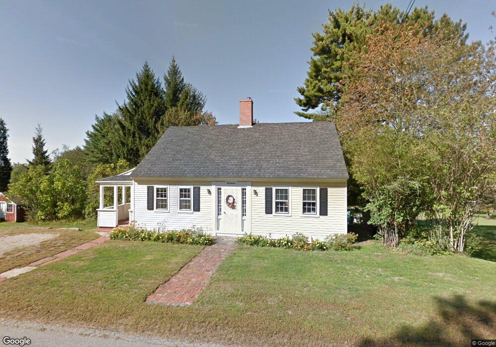
135 Fore Rd Eliot, ME 03903
South Eliot NeighborhoodEstimated Value: $477,060 - $615,000
3
Beds
1
Bath
1,629
Sq Ft
$336/Sq Ft
Est. Value
About This Home
This home is located at 135 Fore Rd, Eliot, ME 03903 and is currently estimated at $547,265, approximately $335 per square foot. 135 Fore Rd is a home located in York County with nearby schools including Marshwood High School and Seacoast Waldorf School.
Create a Home Valuation Report for This Property
The Home Valuation Report is an in-depth analysis detailing your home's value as well as a comparison with similar homes in the area
Home Values in the Area
Average Home Value in this Area
Tax History
| Year | Tax Paid | Tax Assessment Tax Assessment Total Assessment is a certain percentage of the fair market value that is determined by local assessors to be the total taxable value of land and additions on the property. | Land | Improvement |
|---|---|---|---|---|
| 2024 | $4,037 | $340,700 | $167,800 | $172,900 |
| 2023 | $4,082 | $333,200 | $174,400 | $158,800 |
| 2022 | $3,945 | $326,000 | $174,400 | $151,600 |
| 2021 | $3,928 | $314,700 | $169,100 | $145,600 |
| 2020 | $227 | $290,400 | $163,700 | $126,700 |
| 2019 | $224 | $290,400 | $163,700 | $126,700 |
| 2018 | $4,365 | $290,400 | $163,700 | $126,700 |
| 2017 | $4,153 | $290,400 | $163,700 | $126,700 |
| 2016 | $129 | $290,400 | $163,700 | $126,700 |
| 2015 | $4,054 | $289,600 | $163,700 | $125,900 |
| 2014 | $3,996 | $289,600 | $163,700 | $125,900 |
| 2013 | $3,743 | $284,200 | $163,700 | $120,500 |
Source: Public Records
Map
Nearby Homes
- 0 Franks Fort Island Unit 1650383
- 33 Little Bay Dr
- 0 Cote Dr Unit 55B
- 13 Little Bay Dr
- 18 Little Bay Dr
- 348 Dover Point Rd
- 354 Dover Point Rd
- 28 Little Bay Dr
- 21 Clearwater Dr
- 71 Shipwright Way
- 10 Shipwright Way
- 61 Beane Ln
- Slip B18 Little Bay
- 18 Deborah Ln
- 41 Clearwater Dr
- 18 Shipping Ln
- 220 Dover Point Rd
- 42 Caslyn Dr
- 161 Bolt Hill Rd
- 8 Caslyn Dr
Your Personal Tour Guide
Ask me questions while you tour the home.