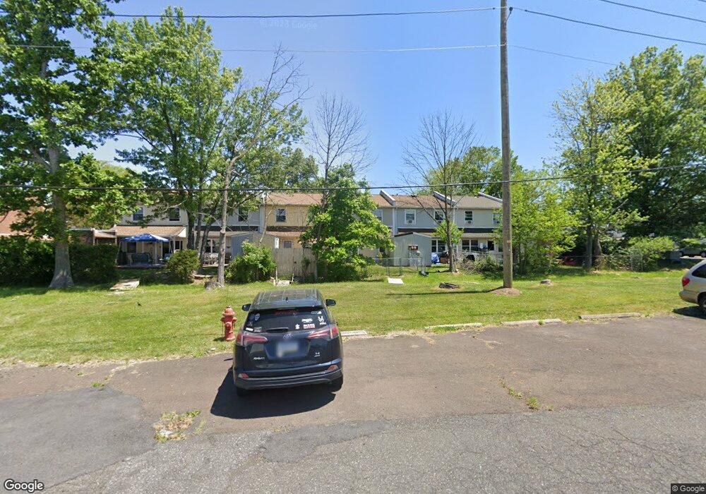
135 Forsythia Ct Quakertown, PA 18951
Richland NeighborhoodEstimated Value: $277,000 - $286,000
3
Beds
3
Baths
1,402
Sq Ft
$201/Sq Ft
Est. Value
About This Home
This home is located at 135 Forsythia Ct, Quakertown, PA 18951 and is currently estimated at $282,165, approximately $201 per square foot. 135 Forsythia Ct is a home located in Bucks County with nearby schools including Quakertown Elementary School, Strayer Middle School, and Quakertown Community Senior High School.
Ownership History
Date
Name
Owned For
Owner Type
Purchase Details
Closed on
Dec 9, 1998
Sold by
Federal National Mortgage Association
Bought by
Mok Samorl and Mom Yoeum
Current Estimated Value
Home Financials for this Owner
Home Financials are based on the most recent Mortgage that was taken out on this home.
Original Mortgage
$51,431
Interest Rate
6.89%
Mortgage Type
FHA
Purchase Details
Closed on
Sep 30, 1998
Sold by
Kot Larry R and Kot Karen L
Bought by
Federal National Mortgage Association
Create a Home Valuation Report for This Property
The Home Valuation Report is an in-depth analysis detailing your home's value as well as a comparison with similar homes in the area
Home Values in the Area
Average Home Value in this Area
Purchase History
| Date | Buyer | Sale Price | Title Company |
|---|---|---|---|
| Mok Samorl | $51,500 | -- | |
| Federal National Mortgage Association | $1,041 | -- |
Source: Public Records
Mortgage History
| Date | Status | Borrower | Loan Amount |
|---|---|---|---|
| Previous Owner | Mok Samorl | $51,431 |
Source: Public Records
Tax History Compared to Growth
Tax History
| Year | Tax Paid | Tax Assessment Tax Assessment Total Assessment is a certain percentage of the fair market value that is determined by local assessors to be the total taxable value of land and additions on the property. | Land | Improvement |
|---|---|---|---|---|
| 2025 | $3,181 | $14,920 | $2,000 | $12,920 |
| 2024 | $3,181 | $14,920 | $2,000 | $12,920 |
| 2023 | $3,118 | $14,920 | $2,000 | $12,920 |
| 2022 | $3,067 | $14,920 | $2,000 | $12,920 |
| 2021 | $3,067 | $14,920 | $2,000 | $12,920 |
| 2020 | $3,067 | $14,920 | $2,000 | $12,920 |
| 2019 | $2,986 | $14,920 | $2,000 | $12,920 |
| 2018 | $2,887 | $14,920 | $2,000 | $12,920 |
| 2017 | $2,802 | $14,920 | $2,000 | $12,920 |
| 2016 | $2,802 | $14,920 | $2,000 | $12,920 |
| 2015 | -- | $14,920 | $2,000 | $12,920 |
| 2014 | -- | $14,920 | $2,000 | $12,920 |
Source: Public Records
Map
Nearby Homes
- 92 Laurel Ct
- 940 S West End Blvd
- 112 Jefferson Ct
- 55 Morris Rd
- 1068 Freedom Ct
- 2228 Blue Gill Dr Unit 54
- 1351 Creekside Ln
- 1124 Longwood Dr
- 21 Beaver Run Dr
- 141 S 2nd St
- 2285 Richland Terrace
- 27 S 7th St
- 262 Fairview Ave
- 56 Dewsbury Ln
- 803 W Broad St
- 1125 Arbour Ln
- 94 Braithwaite Ln
- 202 Andover Ct Unit 202
- 811 W Mill St
- 2710 S Old Bethlehem Pike
- 136 Forsythia Ct
- 134 Forsythia Ct
- 137 Forsythia Ct
- 138 Forsythia Ct
- 133 Forsythia Ct
- 163 Forsythia Ct
- 139 Forsythia Ct
- 140 Forsythia Ct
- 141 Forsythia Ct
- 142 Forsythia Ct
- 165 Forsythia Ct
- 143 Forsythia Ct
- 166 Forsythia Ct
- 167 Forsythia Ct
- 38 Mimosa Ct
- 39 Mimosa Ct
- 40 Mimosa Ct
- 168 Forsythia Ct
- 144 Forsythia Ct
- 41 Mimosa Ct