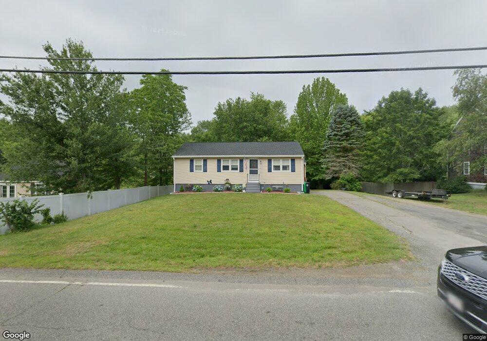
135 Harvard St Whitman, MA 02382
Estimated Value: $467,787 - $558,000
3
Beds
1
Bath
960
Sq Ft
$528/Sq Ft
Est. Value
About This Home
This home is located at 135 Harvard St, Whitman, MA 02382 and is currently estimated at $507,197, approximately $528 per square foot. 135 Harvard St is a home located in Plymouth County with nearby schools including St Bridget School.
Ownership History
Date
Name
Owned For
Owner Type
Purchase Details
Closed on
Aug 17, 2010
Sold by
Bartick Andrea A
Bought by
Chittick Joseph J and Clark Michelle L
Current Estimated Value
Home Financials for this Owner
Home Financials are based on the most recent Mortgage that was taken out on this home.
Original Mortgage
$194,275
Outstanding Balance
$129,018
Interest Rate
4.63%
Mortgage Type
Purchase Money Mortgage
Estimated Equity
$378,179
Purchase Details
Closed on
Apr 15, 1993
Sold by
Bartick John J
Bought by
Bartick David F
Create a Home Valuation Report for This Property
The Home Valuation Report is an in-depth analysis detailing your home's value as well as a comparison with similar homes in the area
Home Values in the Area
Average Home Value in this Area
Purchase History
| Date | Buyer | Sale Price | Title Company |
|---|---|---|---|
| Chittick Joseph J | $230,000 | -- | |
| Bartick David F | $40,000 | -- |
Source: Public Records
Mortgage History
| Date | Status | Borrower | Loan Amount |
|---|---|---|---|
| Open | Chittick Joseph J | $194,275 | |
| Previous Owner | Bartick David F | $30,000 |
Source: Public Records
Tax History Compared to Growth
Tax History
| Year | Tax Paid | Tax Assessment Tax Assessment Total Assessment is a certain percentage of the fair market value that is determined by local assessors to be the total taxable value of land and additions on the property. | Land | Improvement |
|---|---|---|---|---|
| 2025 | $5,142 | $391,900 | $206,500 | $185,400 |
| 2024 | $4,887 | $383,600 | $202,500 | $181,100 |
| 2023 | $4,709 | $347,000 | $175,600 | $171,400 |
| 2022 | $4,582 | $314,700 | $159,600 | $155,100 |
| 2021 | $4,492 | $289,800 | $146,600 | $143,200 |
| 2020 | $4,232 | $267,000 | $132,700 | $134,300 |
| 2019 | $3,950 | $256,800 | $132,700 | $124,100 |
| 2018 | $3,818 | $238,500 | $125,700 | $112,800 |
| 2017 | $3,597 | $238,500 | $125,700 | $112,800 |
| 2016 | $3,399 | $218,000 | $119,700 | $98,300 |
| 2015 | $3,403 | $218,000 | $119,700 | $98,300 |
Source: Public Records
Map
Nearby Homes
- 150 Harvard St
- 159 Auburn St
- 154 Auburn St
- 532 Washington St
- 604 Bedford St Unit 5
- 53 Temple St
- 135-137 Temple St
- 20 Elm Place
- 501 Auburn St Unit 404
- 501 Auburn St Unit 201
- 501 Auburn St Unit 401
- 48 Day St
- 164 Warren Ave
- 110 South Ave Unit 14
- 110 South Ave
- Plan A Northville Village Unit Plan A
- Plan A Northville Village
- 22 Old Coach Rd
- 262 Homeland Dr
- 66 Belmont St
- 127 Harvard St
- 143 Harvard St
- 130 Harvard St
- 136 Harvard St
- 115 Harvard St
- 144 Harvard St
- 120 Burton Ave
- 4 Village Way Unit O4
- 4 Village Way Unit H4
- 4 Village Way Unit G4
- 110 Harvard St
- 157 Harvard St
- 4 Village Way
- 110 Burton Ave
- 111 Lantz Ave
- 125 Burton Ave
- 102 Harvard St
- 95 Harvard St
- 165 Harvard St
- 156 Harvard St