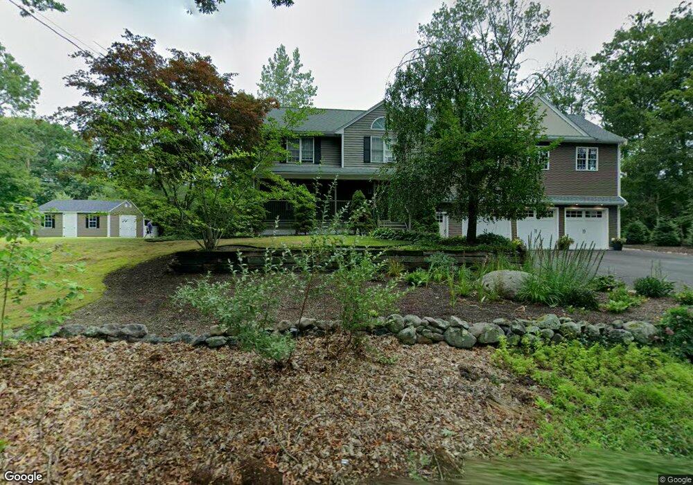
135 Holmes Rd North Attleboro, MA 02760
North Attleboro NeighborhoodEstimated Value: $606,514 - $668,000
3
Beds
2
Baths
1,818
Sq Ft
$351/Sq Ft
Est. Value
About This Home
This home is located at 135 Holmes Rd, North Attleboro, MA 02760 and is currently estimated at $637,629, approximately $350 per square foot. 135 Holmes Rd is a home located in Bristol County with nearby schools including North Attleboro High School and Mercymount Country Day School.
Ownership History
Date
Name
Owned For
Owner Type
Purchase Details
Closed on
Sep 1, 1995
Sold by
Corporate Constr Ltd
Bought by
Lanci Paul D and Lanci Donna
Current Estimated Value
Purchase Details
Closed on
Apr 3, 1995
Sold by
Zani Frederick C and Zani Dorothy A
Bought by
Corporate Constr Ltd
Create a Home Valuation Report for This Property
The Home Valuation Report is an in-depth analysis detailing your home's value as well as a comparison with similar homes in the area
Home Values in the Area
Average Home Value in this Area
Purchase History
| Date | Buyer | Sale Price | Title Company |
|---|---|---|---|
| Lanci Paul D | $155,000 | -- | |
| Corporate Constr Ltd | $26,000 | -- |
Source: Public Records
Mortgage History
| Date | Status | Borrower | Loan Amount |
|---|---|---|---|
| Open | Corporate Constr Ltd | $241,700 | |
| Closed | Corporate Constr Ltd | $54,000 | |
| Closed | Corporate Constr Ltd | $52,000 |
Source: Public Records
Tax History Compared to Growth
Tax History
| Year | Tax Paid | Tax Assessment Tax Assessment Total Assessment is a certain percentage of the fair market value that is determined by local assessors to be the total taxable value of land and additions on the property. | Land | Improvement |
|---|---|---|---|---|
| 2025 | $5,754 | $488,000 | $139,100 | $348,900 |
| 2024 | $5,727 | $496,300 | $139,100 | $357,200 |
| 2023 | $5,520 | $431,600 | $139,100 | $292,500 |
| 2022 | $5,260 | $377,600 | $139,100 | $238,500 |
| 2021 | $5,056 | $354,300 | $139,100 | $215,200 |
| 2020 | $5,066 | $353,000 | $139,100 | $213,900 |
| 2019 | $4,847 | $340,400 | $126,500 | $213,900 |
| 2018 | $4,372 | $327,700 | $126,500 | $201,200 |
| 2017 | $4,332 | $327,700 | $126,500 | $201,200 |
| 2016 | $4,217 | $319,000 | $140,600 | $178,400 |
| 2015 | $4,104 | $312,300 | $147,700 | $164,600 |
| 2014 | $3,985 | $301,000 | $136,400 | $164,600 |
Source: Public Records
Map
Nearby Homes
- 41 Stone Ridge Rd
- 34 Stone Ridge Rd
- 12 Intervale Dr
- 105 Newell Dr
- 740 Allen Ave
- 22 Gilbert Ct
- 44 Powder Horn Way
- 16 Wollen Dr
- 30 Sperry Ln Unit Lot 15
- 710 Nate Whipple Hwy
- 0 Anawan Rd
- 1 Woodhaven Dr
- 181 Paine Rd
- 56 Farmview Dr
- 160 Crescent Ave
- 25 Gregory Way
- 46 Westside Ave
- 49 Hoppin Hill Ave
- 56 Greenfield Rd
- 31 Paine Rd