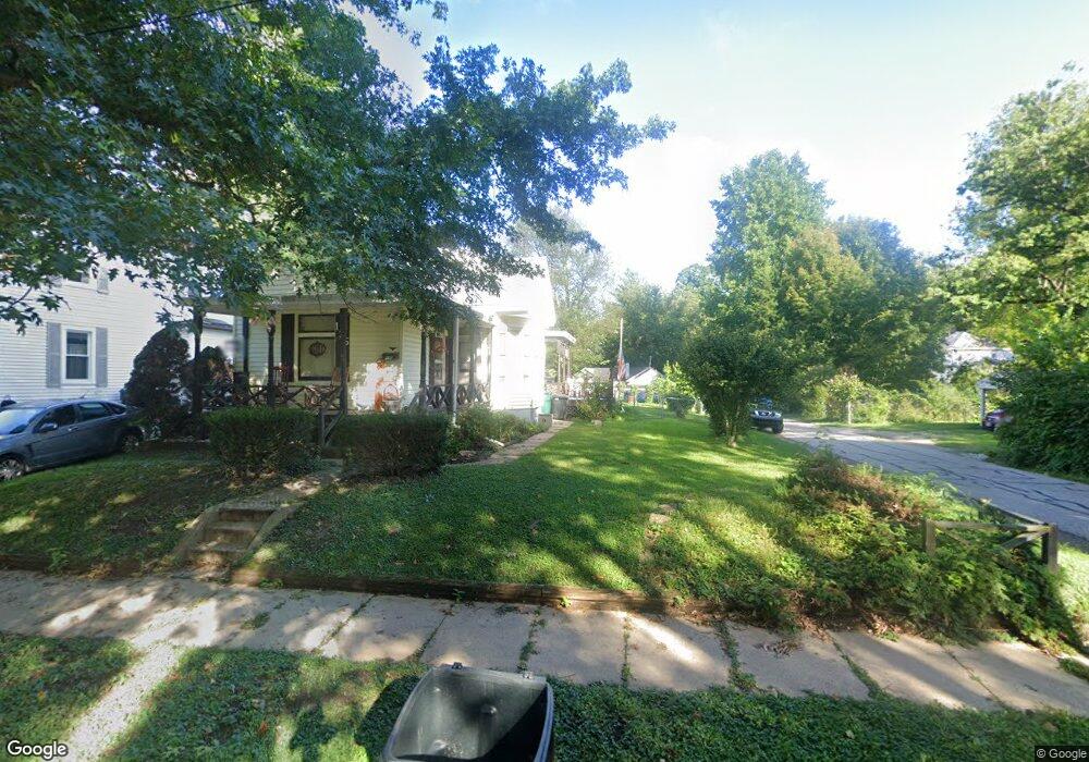
135 Huey Ave Cincinnati, OH 45233
Sayler Park NeighborhoodEstimated Value: $168,475 - $186,000
3
Beds
1
Bath
1,461
Sq Ft
$119/Sq Ft
Est. Value
About This Home
This home is located at 135 Huey Ave, Cincinnati, OH 45233 and is currently estimated at $173,869, approximately $119 per square foot. 135 Huey Ave is a home located in Hamilton County with nearby schools including Sayler Park Elementary School, Gilbert A. Dater High School, and Western Hills High School.
Ownership History
Date
Name
Owned For
Owner Type
Purchase Details
Closed on
Aug 4, 2023
Sold by
Baker Denise M and Baker Willard I
Bought by
Riddell David
Current Estimated Value
Home Financials for this Owner
Home Financials are based on the most recent Mortgage that was taken out on this home.
Original Mortgage
$78,026
Outstanding Balance
$75,885
Interest Rate
6.67%
Mortgage Type
New Conventional
Estimated Equity
$97,984
Purchase Details
Closed on
Feb 22, 2023
Sold by
Baker Willard I
Bought by
Baker Denise M and Baker Willard I
Purchase Details
Closed on
Jan 16, 2009
Sold by
Stone Albert C and Rice Betty Jane
Bought by
Stone Albert C and Stone Betty Jane
Create a Home Valuation Report for This Property
The Home Valuation Report is an in-depth analysis detailing your home's value as well as a comparison with similar homes in the area
Home Values in the Area
Average Home Value in this Area
Purchase History
| Date | Buyer | Sale Price | Title Company |
|---|---|---|---|
| Riddell David | $144,000 | None Listed On Document | |
| Baker Denise M | -- | -- | |
| Stone Albert C | -- | Attorney |
Source: Public Records
Mortgage History
| Date | Status | Borrower | Loan Amount |
|---|---|---|---|
| Open | Riddell David | $78,026 |
Source: Public Records
Tax History
| Year | Tax Paid | Tax Assessment Tax Assessment Total Assessment is a certain percentage of the fair market value that is determined by local assessors to be the total taxable value of land and additions on the property. | Land | Improvement |
|---|---|---|---|---|
| 2025 | $2,522 | $40,020 | $8,502 | $31,518 |
| 2024 | $2,449 | $40,020 | $8,502 | $31,518 |
| 2023 | $2,501 | $40,020 | $8,502 | $31,518 |
| 2022 | $2,023 | $28,865 | $6,951 | $21,914 |
| 2021 | $1,933 | $28,865 | $6,951 | $21,914 |
| 2020 | $1,986 | $28,865 | $6,951 | $21,914 |
| 2019 | $1,907 | $25,319 | $6,097 | $19,222 |
| 2018 | $1,910 | $25,319 | $6,097 | $19,222 |
| 2017 | $1,814 | $25,319 | $6,097 | $19,222 |
| 2016 | $1,879 | $25,932 | $5,975 | $19,957 |
| 2015 | $1,697 | $25,932 | $5,975 | $19,957 |
| 2014 | $1,709 | $25,932 | $5,975 | $19,957 |
| 2013 | $1,720 | $25,676 | $5,915 | $19,761 |
Source: Public Records
Map
Nearby Homes
- 133 Meridian St
- 665 Fox Trails Way
- 6721 Hillside Ave
- 6723 Daniels Walk
- 524 Trison Dr
- 6855 Sayler Ave
- 1538 Tanner Rd
- 815 Westview Dr
- 7027 Gracely Dr
- 7026 River Rd
- 6551 Cleves Warsaw Pike
- 7126 River Rd
- 1779 Tanner Rd
- 6278 Gardenlake Ct
- 2141 Ridgeline Dr
- 2145 Ridgeline Dr
- 1464 Topaz Trace Ct
- 1465 Topaz Trace Ct
- 1644 Creekwood Ct
- 1514 Crystal Rim Ct
Your Personal Tour Guide
Ask me questions while you tour the home.