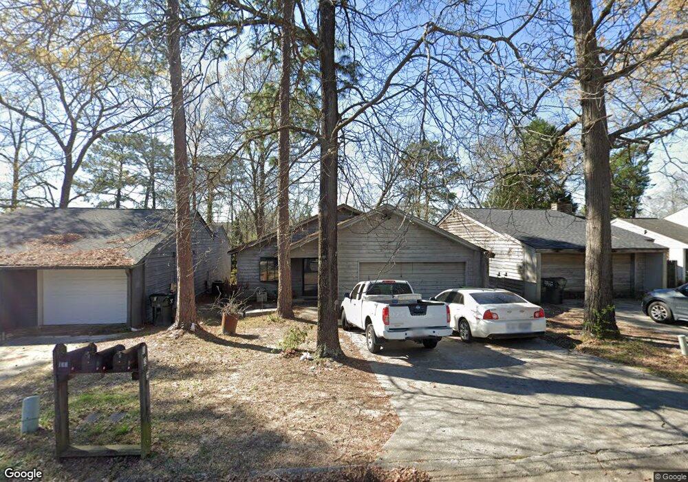
135 Lake Pointe Dr Warner Robins, GA 31088
Estimated Value: $161,000 - $174,000
2
Beds
2
Baths
1,483
Sq Ft
$112/Sq Ft
Est. Value
About This Home
This home is located at 135 Lake Pointe Dr, Warner Robins, GA 31088 and is currently estimated at $165,709, approximately $111 per square foot. 135 Lake Pointe Dr is a home located in Houston County with nearby schools including Russell Elementary School, Huntington Middle School, and Warner Robins High School.
Ownership History
Date
Name
Owned For
Owner Type
Purchase Details
Closed on
Apr 3, 2006
Sold by
Adkison Doris D
Bought by
Adkison Doris D and Adkison David M
Current Estimated Value
Home Financials for this Owner
Home Financials are based on the most recent Mortgage that was taken out on this home.
Original Mortgage
$50,000
Interest Rate
6.23%
Mortgage Type
New Conventional
Purchase Details
Closed on
Apr 7, 1997
Sold by
Hickey Bonifay R
Bought by
Gentry Doris De Ette
Purchase Details
Closed on
Feb 28, 1991
Sold by
Lowe Randall W
Bought by
Hickey Bonifay R
Purchase Details
Closed on
Jul 17, 1986
Bought by
Lowe Randall W
Create a Home Valuation Report for This Property
The Home Valuation Report is an in-depth analysis detailing your home's value as well as a comparison with similar homes in the area
Home Values in the Area
Average Home Value in this Area
Purchase History
| Date | Buyer | Sale Price | Title Company |
|---|---|---|---|
| Adkison Doris D | -- | None Available | |
| Gentry Doris De Ette | $76,500 | -- | |
| Hickey Bonifay R | -- | -- | |
| Lowe Randall W | -- | -- |
Source: Public Records
Mortgage History
| Date | Status | Borrower | Loan Amount |
|---|---|---|---|
| Closed | Adkison Doris D | $50,000 |
Source: Public Records
Tax History Compared to Growth
Tax History
| Year | Tax Paid | Tax Assessment Tax Assessment Total Assessment is a certain percentage of the fair market value that is determined by local assessors to be the total taxable value of land and additions on the property. | Land | Improvement |
|---|---|---|---|---|
| 2024 | $1,771 | $55,520 | $4,400 | $51,120 |
| 2023 | $1,492 | $46,640 | $4,400 | $42,240 |
| 2022 | $895 | $40,920 | $4,400 | $36,520 |
| 2021 | $741 | $34,040 | $4,400 | $29,640 |
| 2020 | $785 | $33,800 | $4,400 | $29,400 |
| 2019 | $785 | $33,800 | $4,400 | $29,400 |
| 2018 | $785 | $33,800 | $4,400 | $29,400 |
| 2017 | $786 | $33,800 | $4,400 | $29,400 |
| 2016 | $794 | $34,080 | $4,400 | $29,680 |
| 2015 | -- | $34,080 | $4,400 | $29,680 |
| 2014 | -- | $34,080 | $4,400 | $29,680 |
| 2013 | -- | $34,080 | $4,400 | $29,680 |
Source: Public Records
Map
Nearby Homes
- 705 Tallulah Trail
- 266 Southland Station Dr
- 236 Tallulah Trail
- 238 Tallulah Trail
- 122 Tallulah Trail
- 102 Tallulah Trail
- 362 Tallulah Trail
- 452 Tallulah Trail
- 104 Crossing Place
- 101 Leisure Lake Ct
- 103 Leisure Lake Ct
- 105 Leisure Lake Ct
- 202 Lake Front Dr
- 0 S Kimberly Rd
- 108 Pheasant Cove
- 217 Station Way
- 201 Beaver Run Dr
- 105 Marvin Blvd
- 422 Lake Front Dr
- 314 Air View Dr Unit 8
- 133 Lake Pointe Dr
- 137 Lake Pointe Dr
- 126 Ridge Pointe Ct
- 131 Lake Pointe Dr
- 139 Lake Pointe Dr
- 124 Ridge Pointe Ct
- 141 Lake Pointe Dr
- 121 Lake Pointe Dr
- 115 Lake Pointe Dr
- 136 Lake Pointe Dr
- 134 Lake Pointe Dr
- 138 Lake Pointe Dr
- 113 Lake Pointe Dr
- 140 Lake Pointe Dr
- 132 Lake Pointe Dr
- 143 Lake Pointe Dr
- 142 Lake Pointe Dr
- 130 Lake Pointe Dr
- 131 Ridge Pointe Ct
- 111 Lake Pointe Dr