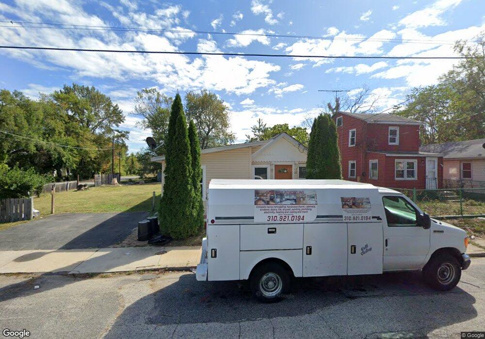
135 Lanning Ave Penns Grove, NJ 08069
Estimated Value: $141,000 - $184,000
3
Beds
1
Bath
1,158
Sq Ft
$136/Sq Ft
Est. Value
About This Home
This home is located at 135 Lanning Ave, Penns Grove, NJ 08069 and is currently estimated at $157,523, approximately $136 per square foot. 135 Lanning Ave is a home located in Salem County with nearby schools including Lafayette-Pershing Elementary School, Field Street Elementary School, and Paul W. Carleton Elementary School.
Ownership History
Date
Name
Owned For
Owner Type
Purchase Details
Closed on
Oct 29, 2014
Sold by
Crestar Homes Llc
Bought by
Orlando Gilder and Recinos Castilo
Current Estimated Value
Purchase Details
Closed on
Jun 7, 2013
Sold by
Us Bank Custodian For Ccts Capital Llc
Bought by
Crestar Homes Llc
Purchase Details
Closed on
Sep 5, 2006
Sold by
Cordwell Vicky
Bought by
Parker Antonio
Purchase Details
Closed on
Jul 11, 2001
Sold by
Cordwell Vicky
Bought by
Parker Antonio
Purchase Details
Closed on
Feb 13, 1998
Sold by
Brooks John O and Brooks Eva J
Bought by
Cordwell Vicky
Create a Home Valuation Report for This Property
The Home Valuation Report is an in-depth analysis detailing your home's value as well as a comparison with similar homes in the area
Home Values in the Area
Average Home Value in this Area
Purchase History
| Date | Buyer | Sale Price | Title Company |
|---|---|---|---|
| Orlando Gilder | $8,000 | None Available | |
| Crestar Homes Llc | -- | -- | |
| Parker Antonio | -- | None Available | |
| Parker Antonio | -- | -- | |
| Cordwell Vicky | $5,000 | -- |
Source: Public Records
Tax History Compared to Growth
Tax History
| Year | Tax Paid | Tax Assessment Tax Assessment Total Assessment is a certain percentage of the fair market value that is determined by local assessors to be the total taxable value of land and additions on the property. | Land | Improvement |
|---|---|---|---|---|
| 2025 | $3,278 | $59,100 | $12,500 | $46,600 |
| 2024 | $3,168 | $59,100 | $12,500 | $46,600 |
| 2023 | $3,168 | $59,100 | $12,500 | $46,600 |
| 2022 | $3,054 | $59,100 | $12,500 | $46,600 |
| 2021 | $2,922 | $59,100 | $12,500 | $46,600 |
| 2020 | $2,960 | $59,100 | $12,500 | $46,600 |
| 2019 | $2,973 | $59,100 | $12,500 | $46,600 |
| 2018 | $2,666 | $66,100 | $20,500 | $45,600 |
| 2017 | $2,676 | $66,100 | $20,500 | $45,600 |
| 2016 | $2,575 | $66,100 | $20,500 | $45,600 |
| 2015 | $2,466 | $66,100 | $20,500 | $45,600 |
| 2014 | $2,439 | $66,100 | $20,500 | $45,600 |
Source: Public Records
Map
Nearby Homes
- 59 61 Broad St
- 18 Pearl St
- 113 N Broad St
- 71 Poplar St
- 54 W Pitman St
- 87 W Pitman St
- 27 E Line St
- 6 W Griffith St
- 28 4th Ave
- 31 Elvin Ave
- 35 Franklin St
- 78 W Harmony St
- 89 Delaware Ave
- 48 Penn St
- 102 Delaware Ave Unit FRONT
- 3 Naylor Ave
- 81 7th Ave
- 22 Delaware Ave
- 136 Penns Grove Auburn Rd
- 88 Railroad Ave
- 133 Lanning Ave
- 127 Lanning Ave
- 139 Lanning Ave
- 35 Wright St
- 138 Lanning Ave
- 115 Lanning Ave
- 37 Wright St
- 140 Lanning Ave
- 120 Lanning Ave
- 113 Lanning Ave
- 118 Lanning Ave
- 150 Lanning Ave
- 154 Wright St
- 60 W Line St
- 156 Wright St
- 116 Lanning Ave
- 39 Poplar St
- 38 Wright St
- 33 Poplar St Unit 37
- 64 W Line St