135 Lumberman Rd Ardmore, OK 73401
Estimated Value: $79,667 - $340,000
3
Beds
1
Bath
1,300
Sq Ft
$146/Sq Ft
Est. Value
About This Home
This home is located at 135 Lumberman Rd, Ardmore, OK 73401 and is currently estimated at $190,417, approximately $146 per square foot. 135 Lumberman Rd is a home located in Carter County with nearby schools including Springer Elementary School and Springer High School.
Ownership History
Date
Name
Owned For
Owner Type
Purchase Details
Closed on
Dec 5, 2024
Sold by
Gilio Robert
Bought by
Gilio Robert Duane and Aguilar Brooklyn Dianne
Current Estimated Value
Purchase Details
Closed on
Sep 6, 2019
Sold by
Ponos Llc
Bought by
Gilio Robert
Purchase Details
Closed on
Sep 15, 2016
Sold by
Gilio Robert
Bought by
Ponos Llc
Purchase Details
Closed on
Jan 9, 1998
Sold by
Gilio Robert and Gilio Joni
Bought by
Gilio Robert
Purchase Details
Closed on
May 4, 1991
Sold by
Grant Vernon I
Bought by
Gilio Robert and Gilio Joni
Create a Home Valuation Report for This Property
The Home Valuation Report is an in-depth analysis detailing your home's value as well as a comparison with similar homes in the area
Home Values in the Area
Average Home Value in this Area
Purchase History
| Date | Buyer | Sale Price | Title Company |
|---|---|---|---|
| Gilio Robert Duane | -- | None Listed On Document | |
| Gilio Robert | -- | None Available | |
| Ponos Llc | -- | None Available | |
| Gilio Robert | -- | -- | |
| Gilio Robert | $4,000 | -- |
Source: Public Records
Tax History Compared to Growth
Tax History
| Year | Tax Paid | Tax Assessment Tax Assessment Total Assessment is a certain percentage of the fair market value that is determined by local assessors to be the total taxable value of land and additions on the property. | Land | Improvement |
|---|---|---|---|---|
| 2025 | $227 | $2,746 | $503 | $2,243 |
| 2024 | $227 | $2,616 | $479 | $2,137 |
| 2023 | $230 | $2,491 | $472 | $2,019 |
| 2022 | $204 | $2,372 | $463 | $1,909 |
| 2021 | $197 | $2,259 | $444 | $1,815 |
| 2020 | $188 | $2,152 | $425 | $1,727 |
| 2019 | $177 | $2,050 | $393 | $1,657 |
| 2018 | $173 | $1,951 | $390 | $1,561 |
| 2017 | $167 | $1,859 | $371 | $1,488 |
| 2016 | $158 | $1,771 | $317 | $1,454 |
| 2015 | $154 | $1,686 | $253 | $1,433 |
| 2014 | $147 | $1,606 | $144 | $1,462 |
Source: Public Records
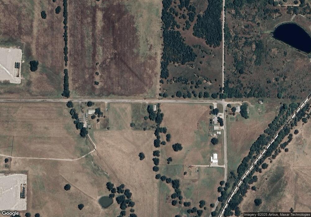
Map
Nearby Homes
- 0.68 Acre Parcel
- Two 0.74 Acre (Both Equal 1 48 Acre Parcel Total)
- Two 1.39
- 0 Tbd Tumbleweed Rd
- 586 Grassland Rd
- 0 Grassland Rd Unit 2544291
- 0 Grassland Rd Unit 2544372
- 0 Grassland Rd Unit 2544109
- 2304 Pleasant Rd
- 503 Forest Ln
- 203 Fernwood Rd
- 16677 Us Highway 77
- 6600 Refinery Rd
- 7590 Mount Washington Rd
- 300 S 1st Ave
- 00 Refinery Rd
- 0 S 4th Ave
- 0 Main St
- 1416 Smokey Ridge Rd
- 380 Blue Bell Rd